Login

Olvidaste tu contraseña?

Las cookies tienen que estar habilitadas!
Las cookies no están habilitadas en tu navegador. Por favor, modifica la configuración antes de continuar.

Not a member yet?

Register now
Login

Available for registred users only

Log in to use this feature.

Olvidaste tu contraseña?

Las cookies tienen que estar habilitadas!
Las cookies no están habilitadas en tu navegador. Por favor, modifica la configuración antes de continuar.

Not a member yet?

Register now
Filtro
Categorías
Advanced filters
  • Distancia (km)
  • Altitud en metros
Guardar filtro Reset filter

TrackRank

QRCode

Technical data

Distancia18,6 km Altitud en metros375 m Descenso577 m Duración05:30 h:m Fecha19.03.2016
Valoraciones Autor Paisaje Diversión Condición Técnica

Estadística

532 Visitas Valoraciones 24 Descargas Promedio
Rate
  • Hoja de ruta
  • Punto de partida
  • Descargas

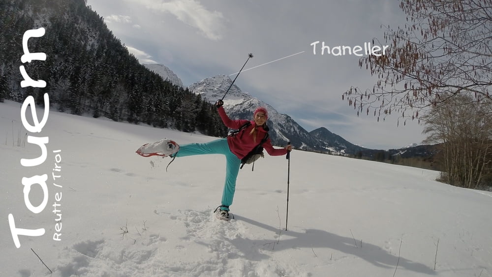
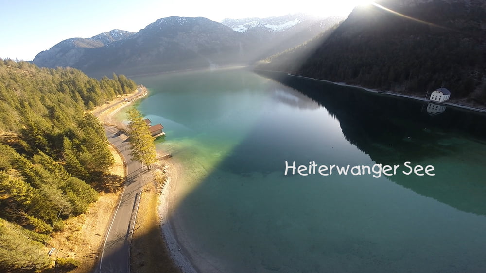
Der massive Bergstock am Heiterwanger See.

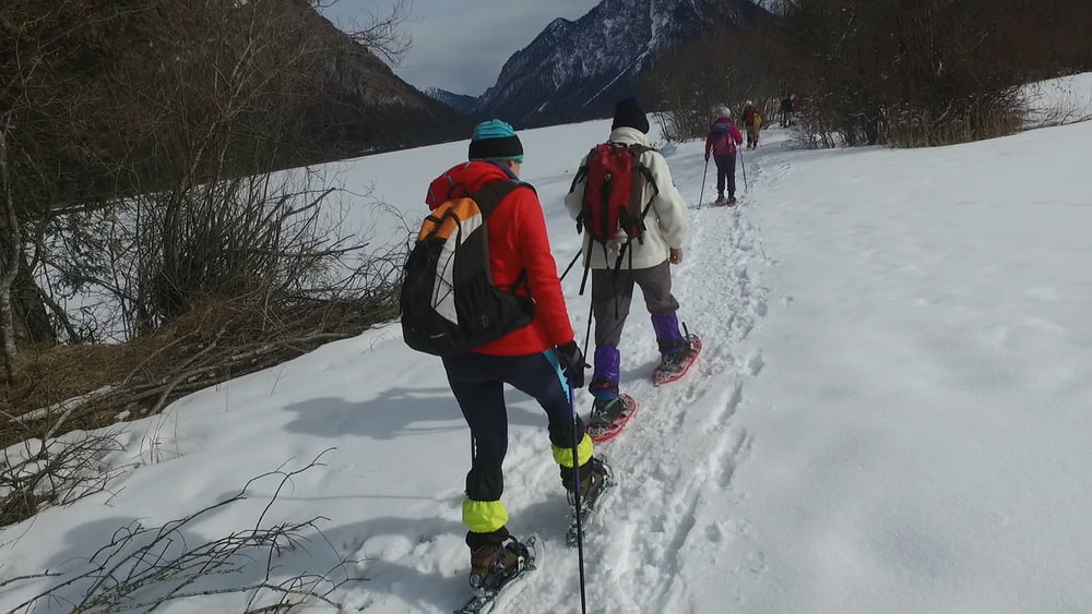
Diese enorm abwechslungsreiche Wanderung
bringt uns mit den unterschiedlichsten
Landschaftsformen in Kontakt: ein steiles
Bachtal mit Wasserfällen, stille Waldabschnitte
und eine Reihe von Seen. Besonders am
Heiterwanger See und am Plansee empfängt
den Winterwanderer eine wundersame Stille.
400 Hm
18 km
5,5 Std
Ausgangspunkt Breitenwang bei Reutte (Tirol)
Gerne liken/teilen/kommentieren.
[̲̅y̲̅][̲̅o̲̅][̲̅u̲̅] [̲̅l̲̅][̲̅i̲̅][̲̅k̲̅][̲̅e̲̅] [̲̅i̲̅][̲̅t̲̅]? [̲̅s̲̅][̲̅h̲̅][̲̅a̲̅][̲̅r̲̅][̲̅e̲̅] [̲̅i̲̅][̲̅t̲̅]!
HIer mein kleines Video dazu: https://youtu.be/soj7_trD-3c
#Berge #Alpen #Allgäu #Schneeschuh #Tauern #Reutte #Plansee #Heiterwangersee

Further information at

https://www.facebook.com/pages/Klettersteig24de

Galería de rutas

Mapa de la ruta y perfil de altitud

  • Open Street Map
  • Google
Minimum height 886 m Maximum height 1372 m Vista detallada

More about the tour author

ChristoHutschel
Member since 2016

Send private message

Comentarios

Tracks GPS

Puntos del track
  • GPX / Garmin Map Source (gpx) download
  • TCX / Garmin Training Center® (tcx) download
  • CRS / Garmin Training Center® (crs) download
  • Google Earth (kml) download
  • G7ToWin (g7t) download
  • TTQV (trk) download
  • Overlay (ovl) download
  • Fugawi (txt) download
  • Kompass (DAV) Track (tk) download
  • Hoja de ruta (pdf) download
  • Original file of the author (gpx) download

More about the tour author

ChristoHutschel
Member since 2016

Send private message
Share track
Add to my favorites
Remove from my favorites
Edit tags
Mi valoración
Rate
Ruta: Rund um den Tauern
Tipo: Raquetas de nieve
Distancia: 18,6 km
valorizado al:
Duración:
Day(s)
Hour(s)
Minute(s)
Valoración: Paisaje Diversión Condición Técnica