


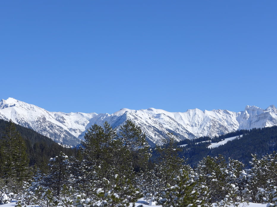
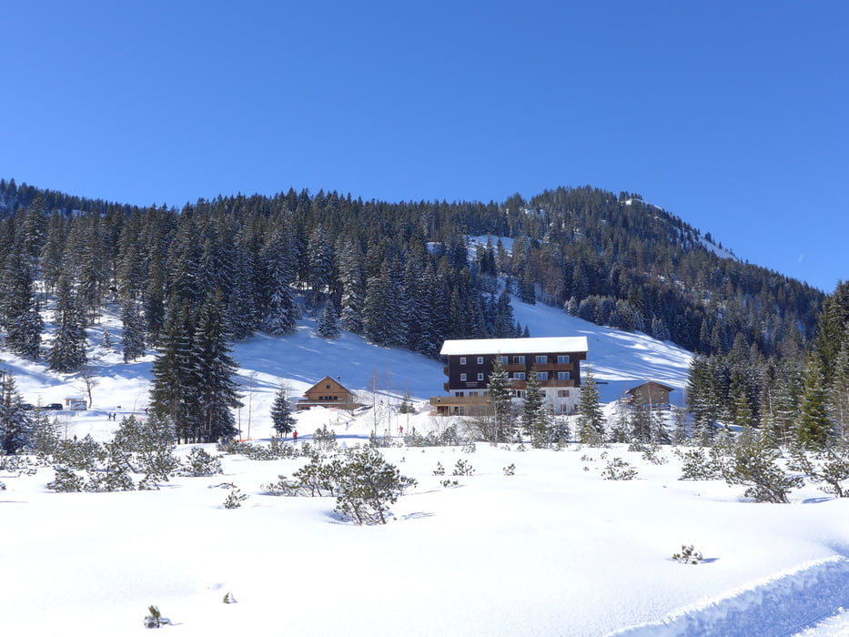
Wunderschön angelegte Loipe in ruhiger, traumhafter Winterlandschaft. Startpunkt ist am Gasthof Bergblick in Außerschwende 36|D-87567 / A-6991 Riezlern. Hier kann man auch gut Parken und zum Abschluss nochmal einkehren (www.gasthof-bergblick.at/).
Unterwegs lohnt sich auf jeden Fall auch eine Einkehr im Gasthof Hörnlepass (www.hoernlepass.de/).
Teilweise parallel zur Loipe verläuft ein Winterwanderweg - auch sehr zu empfehlen.
Further information at
https://de.wikipedia.org/wiki/KleinwalsertalGalería de rutas
Mapa de la ruta y perfil de altitud
Minimum height 1054 m
Maximum height 1198 m
More about the tour author

|
grenz-pfad-fahrer |
Comentarios

Von Oberstdorf in Richtung Kleinwalsertal und dann in Riezlern rechts abbiegen in Richtung Langlaufloipe (ist ausgeschildert). Man kommt über die Breitach und fährt dann noch kurz den Berg hinauf bis zum Gsathof Bergblick.
Tracks GPS
Puntos del track-
GPX / Garmin Map Source (gpx) download
-
TCX / Garmin Training Center® (tcx) download
-
CRS / Garmin Training Center® (crs) download
-
Google Earth (kml) download
-
G7ToWin (g7t) download
-
TTQV (trk) download
-
Overlay (ovl) download
-
Fugawi (txt) download
-
Kompass (DAV) Track (tk) download
-
Hoja de ruta (pdf) download
-
Original file of the author (gpx) download
More about the tour author
|
|
grenz-pfad-fahrer |
Add to my favorites
Remove from my favorites
Edit tags
Open track
Mi valoración
Rate