


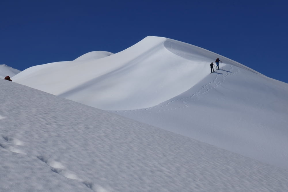
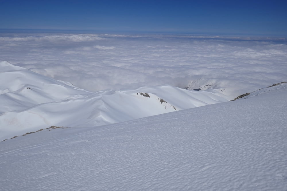
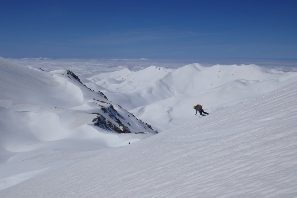
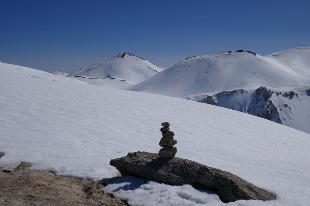
Zunächst mussten wir zwei gigantische Lawinenkegel überqueren, die die Straße durch Gournes vom Spathi her mehrere Meter tief verschüttet hatte. Dann nach Süden ansteigen, zuletzt sehr steil in den Sattel zwischen Varsami und Kentri. Dann landschaftlich großartig über den geschwungenen Grat in Richtung Agio Pnevma. Zuletzt über die Nordflanke hinauf zum Gipfel. Abfahrt direkt nach Süden. (Der Umweg auf dem GPS-Track kommt von der Suche nach einem beim Aufstieg verlorenen Harscheisen). Aufstieg auf die makellose Pyramide des Grias Soros über die Westflanke. Abfahrt über die Westflanke bis kurz vor die Livadas Mitato Hütte. Wiederaufstieg zur Gratschulter des Agio Pnevma und Abfahrt wie Aufstieg.
Alternativ könnte man die Runde erweitern: Vom Grias Soros zum Askyfiotikos Soros und dann östlich am Agio Pnevma vorbei über Mavro Skiadi mit einem kleinen Gegenanstieg zurück zum Kentri Rücken
Galería de rutas
Mapa de la ruta y perfil de altitud
Minimum height 948 m
Maximum height 2299 m
More about the tour author

|
Gi |
Comentarios

Von Chania über Zacharias, Stylos und Kares nach Gournia. Ab Kares ungeteert, hohe Bodenfreiheit empfohlen.
Tracks GPS
Puntos del track-
GPX / Garmin Map Source (gpx) download
-
TCX / Garmin Training Center® (tcx) download
-
CRS / Garmin Training Center® (crs) download
-
Google Earth (kml) download
-
G7ToWin (g7t) download
-
TTQV (trk) download
-
Overlay (ovl) download
-
Fugawi (txt) download
-
Kompass (DAV) Track (tk) download
-
Hoja de ruta (pdf) download
-
Original file of the author (gpx) download
More about the tour author
|
|
Gi |
Add to my favorites
Remove from my favorites
Edit tags
Open track
Mi valoración
Rate