


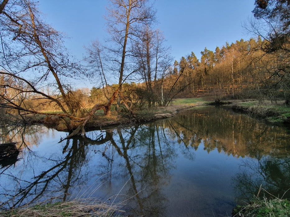
Hier sind die wichtigsten Trails um Burgthann und Mimberg in einer Runde zusammengefasst. Die längeren Abschnitte Höhenbachtal/Jakobsweg und schwarze 7 werden in beide Richtungen befahren und lohnen sich auch so.
Man kann zum Ausprobieren auch immer mal wieder noch was entdecken. Leider wird in der Gegend stellenweise arg geholzt, manche Trails haben sich daher verbreitert oder sind ganz verschwunden.
Die verbliebenen hier machen aber immer noch richtig Spaß, auf einer flotten E-Bike-Runde (ca 1,5h) oder natürlich auch mit dem Biobike - da kommen einige Anstiege zusammen, insges. ca 500hm.
Machbar mit Tourenfully, AM und Enduro, die Trails sind fast durchweg S0 und S1.
Galería de rutas


Mapa de la ruta y perfil de altitud
Minimum height 336 m
Maximum height 464 m
More about the tour author

|
Markusso |
Comentarios

Start ist beim S-Bahn-Halt Mimberg
Tracks GPS
Puntos del track-
GPX / Garmin Map Source (gpx) download
-
TCX / Garmin Training Center® (tcx) download
-
CRS / Garmin Training Center® (crs) download
-
Google Earth (kml) download
-
G7ToWin (g7t) download
-
TTQV (trk) download
-
Overlay (ovl) download
-
Fugawi (txt) download
-
Kompass (DAV) Track (tk) download
-
Hoja de ruta (pdf) download
-
Original file of the author (gpx) download
More about the tour author
|
|
Markusso |
Add to my favorites
Remove from my favorites
Edit tags
Open track
Mi valoración
Rate