


14. Auffach Wildschönau-Tulfes
Auffach Wildschönau-Grasingalm-Hahnkopf-Schatzberg-
Zottahof-Alpbach-Bischofsbrunn-Lichtwerth-Jenbach-Stans-
Schwaz-Wattens-Tulfes
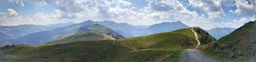
Vom Start weg ordentlich bergauf, alles fahrbar. Ab der Grasingalm ca 30' Schiebung (nicht schwierig) = off. MTB Schiebestrecke. Am Speichersee gibt’s dann einen Brunnen mit sehr gutem Wasser.
Letztes Stück zum Hankopf rauf sehr steil, aber auch fahrbar. Panoramablick 360°! Toll! Dann zum nahegelegenen Schatzberg, dem diese MTB Strecke ihren Namen verdankt.
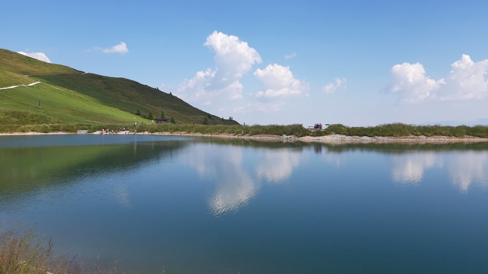
Auch runter ins Alpbachtal finde ich immer off. MTB Routen: kurzer trail, dann Schotter und einiges Asphalt.Sehr schöne Abfahrt.
Beim Zottahof tauche ich vorne und hinten die Bremsbeläge - war höchste Zeit! Unten geht’s dann den Inntal Radweg entlang, wo mir meine Freunde entgegen kommen!
Kurze Stärkung in Schwaz bevor es dann nochmal fast 500 hm rauf nach Tulfes geht: schöne, einsame Straße. Oben ist dann das prognostizierte Unwetter eingetroffen. Netterweise werden wir mit dem Auto abgeholt.
Further information at
https://www.alpbachtal.at/de/tour/schatzberg-1.898-m_35343686Galería de rutas
Mapa de la ruta y perfil de altitud
Minimum height 615 m
Maximum height 1901 m
More about the tour author
|
|
mitter |
Comentarios

Start in Auffach beim Haus am Wildbach.
Tracks GPS
Puntos del track-
GPX / Garmin Map Source (gpx) download
-
TCX / Garmin Training Center® (tcx) download
-
CRS / Garmin Training Center® (crs) download
-
Google Earth (kml) download
-
G7ToWin (g7t) download
-
TTQV (trk) download
-
Overlay (ovl) download
-
Fugawi (txt) download
-
Kompass (DAV) Track (tk) download
-
Hoja de ruta (pdf) download
-
Original file of the author (gpx) download
More about the tour author
|
|
mitter |
Add to my favorites
Remove from my favorites
Edit tags
Open track
Mi valoración
Rate