


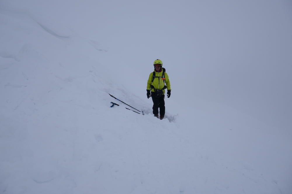
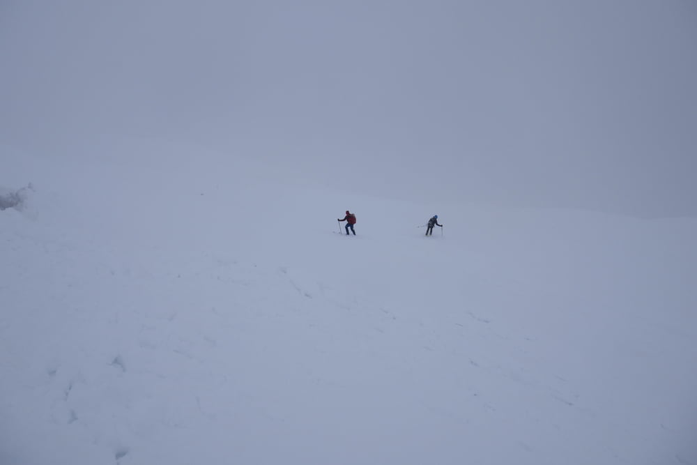
Von Antochori auf kleinem Sträßchen bis zur Schneegrenze. Man kann sicher häufig einige Kehren weiter fahren als wir. Zuerst der Straße oder je nach Schneelage die Kehren abkürzend relativ flach das Tal hinein. Nun sucht man sich die angenehmste Aufstiegsroute nach rechts über die Baumfreien Hänge bis zum Gipfel. Wir steckten in Nebel und Schneefall, so kann bei Sicht die Route sicher optimiert werden.
Galería de rutas
Mapa de la ruta y perfil de altitud
Minimum height 1177 m
Maximum height 2214 m
More about the tour author

|
Gi |
Comentarios

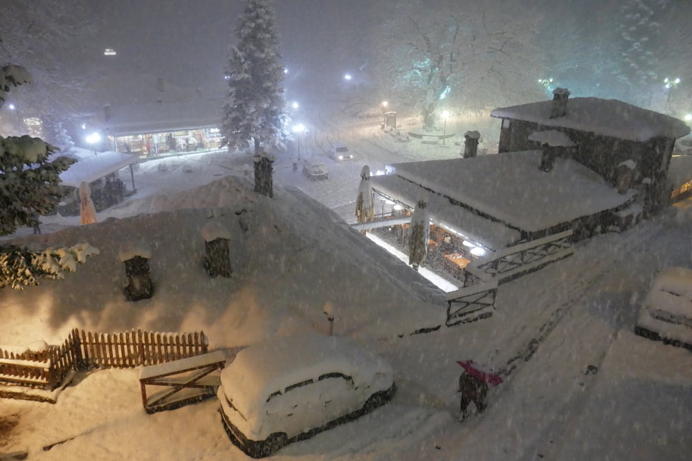
Von Metsovo kleine verschlungene Sträßchen zum Bach hinunter und wieder hinauf bis nach Antochori. Dort zum Fußballplatz bzw. je nach Schneelage auf der Kiesstraße weiter bis zur Schneegrenze
Tracks GPS
Puntos del track-
GPX / Garmin Map Source (gpx) download
-
TCX / Garmin Training Center® (tcx) download
-
CRS / Garmin Training Center® (crs) download
-
Google Earth (kml) download
-
G7ToWin (g7t) download
-
TTQV (trk) download
-
Overlay (ovl) download
-
Fugawi (txt) download
-
Kompass (DAV) Track (tk) download
-
Hoja de ruta (pdf) download
-
Original file of the author (gpx) download
More about the tour author
|
|
Gi |
Add to my favorites
Remove from my favorites
Edit tags
Open track
Mi valoración
Rate