


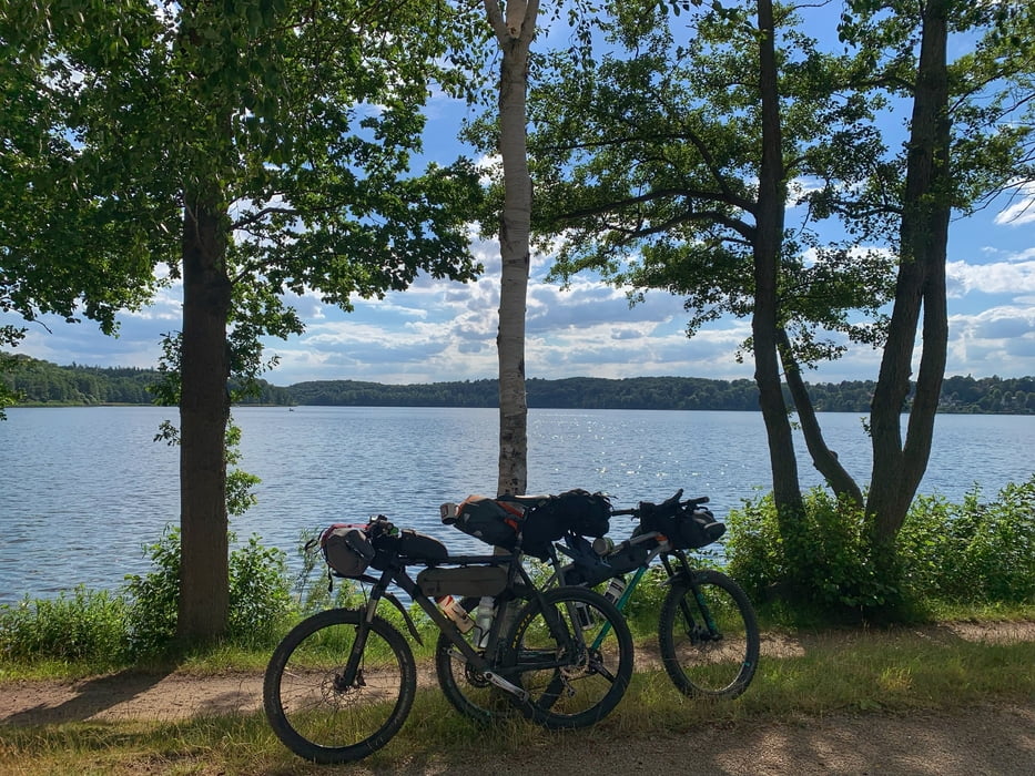
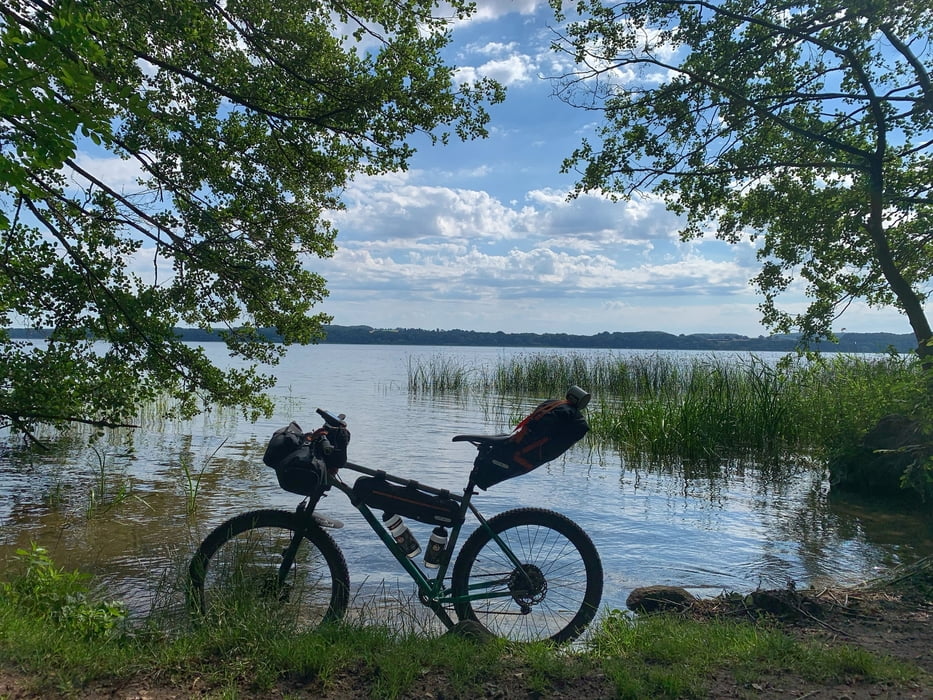
Los geht's in Hamburg Lemsahl mit dem Bikepacking Abenteuer. Ziel ist der Ratzeburger See
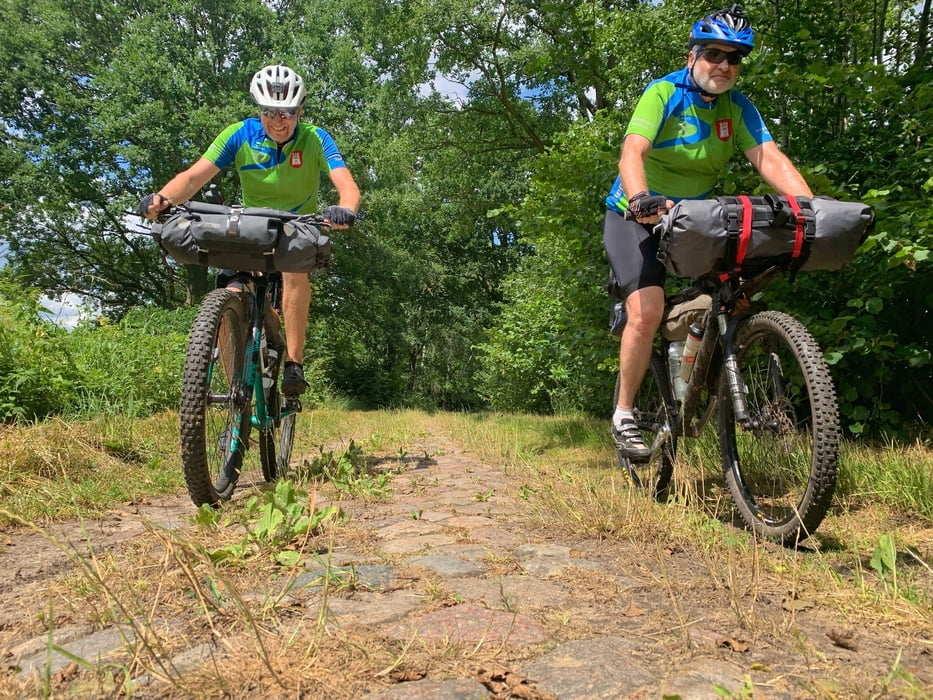
Lemsahl - Saselbek Trail - Mellenberg - Höltigbaum - Braak - Papendorf - Rausdorf - Trittau - Hahnheider Forst - Hahnheider Turm - Köthel - Alt Mölln - Mölln - Frachauer Mühlencafe - Küchensee Trail - Ratzeburg - Ratzeburger See Trail - Naturcamping Buchholz am Ratzeburger See ca 77 km / Übernachtung
am nächsten Morgen geht's weiter:
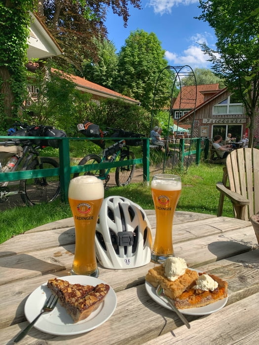
Ratzeburger See Trail - Pogeez - Urwald - Elbe Lübeck Kanal - Krummesse - Heidesee Trail - Trenthorst - Trave Downhill - Travewanderweg - Bad Oldesloe - Cafe Kuchenwerk - Railwaytrail - Bahndamm Radweg - Sülfeld - Waldesruh Wilhelm - Wulksfelde - Duvenstedt - Wittmoor - Lemsahl
Further information at
https://www.naturcampingbuchholz.de/de/Galería de rutas
Mapa de la ruta y perfil de altitud
Minimum height -48 m
Maximum height 93 m
More about the tour author
|
|
hegi |
Comentarios

Start in Hamburg Lemsahl. Dort kann man in der Wohngegend parken
Tracks GPS
Puntos del track-
GPX / Garmin Map Source (gpx) download
-
TCX / Garmin Training Center® (tcx) download
-
CRS / Garmin Training Center® (crs) download
-
Google Earth (kml) download
-
G7ToWin (g7t) download
-
TTQV (trk) download
-
Overlay (ovl) download
-
Fugawi (txt) download
-
Kompass (DAV) Track (tk) download
-
Hoja de ruta (pdf) download
-
Original file of the author (gpx) download
More about the tour author
|
|
hegi |
Add to my favorites
Remove from my favorites
Edit tags
Open track
Mi valoración
Rate