


Passo della Maddalena-Rif. Gardetta
Passo della Maddalena-Lac de L'Orrenaye-
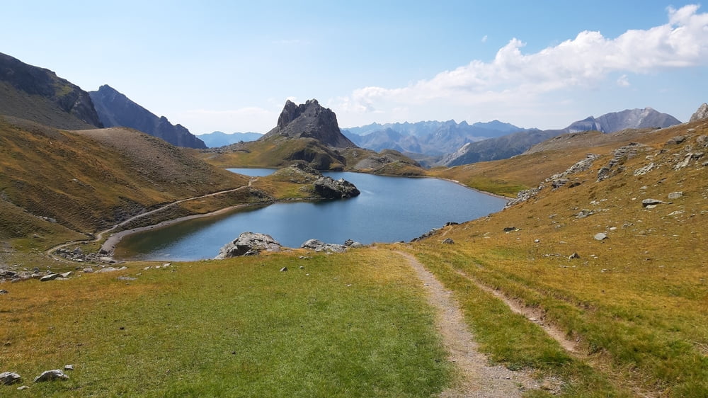
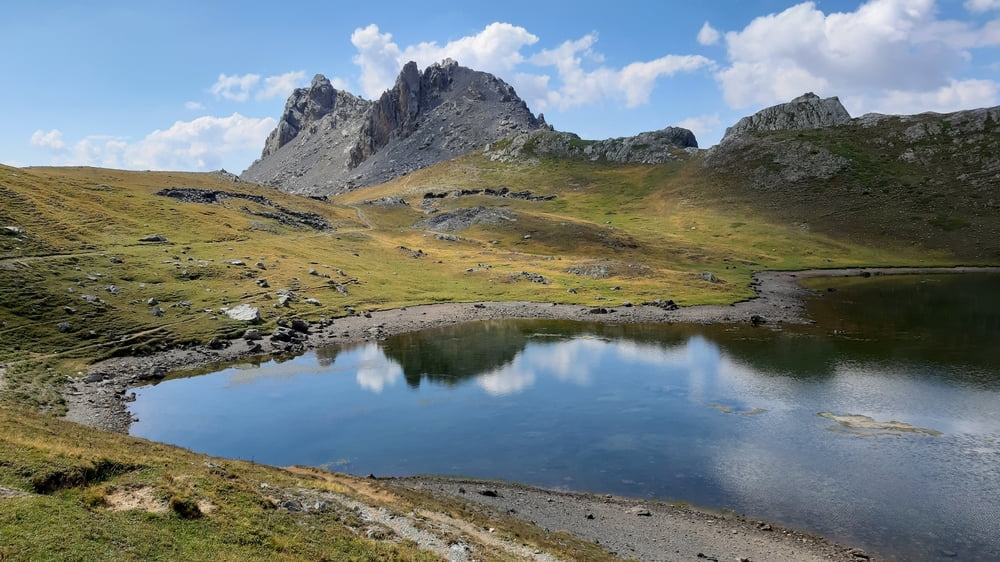
Lago Superiore di Roburent-Colle della Scaletta (2614m)-
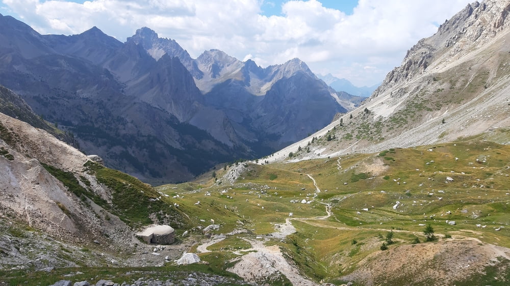
Passo dell'Escalon (2415m)-Grange Calandra (1940m)-
Passo Gardetta (2437m)-Rif. Gardetta
Obwohl heute ausgiebige Schiebepassagen dabei waren, war es ob der spektakulären Landschaft absolute Weltklasse! Rauf zu den zwei Seen war der trail immer wieder gut fahrbar. Und dann die 2 Seen: Lac del Orrenaye und Lac de Roburent! Echte Naturjuwele! Einfach mal staunen.
Rauf zum Scaletta ist dann tw schwere Schiebung angesagt. Runter ist es mir meist zu ruppig, daher schiebe ich einiges bis zum Grange Calandra. (Da bin ich ca 150hm zu weit hinunter!) Der Winteraufstieg ist anfangs noch fahrbar, dann wird’s zu steil und ich wechsle auf den markierten Steig. Einfacher, aber trotzdem viel zu schieben.
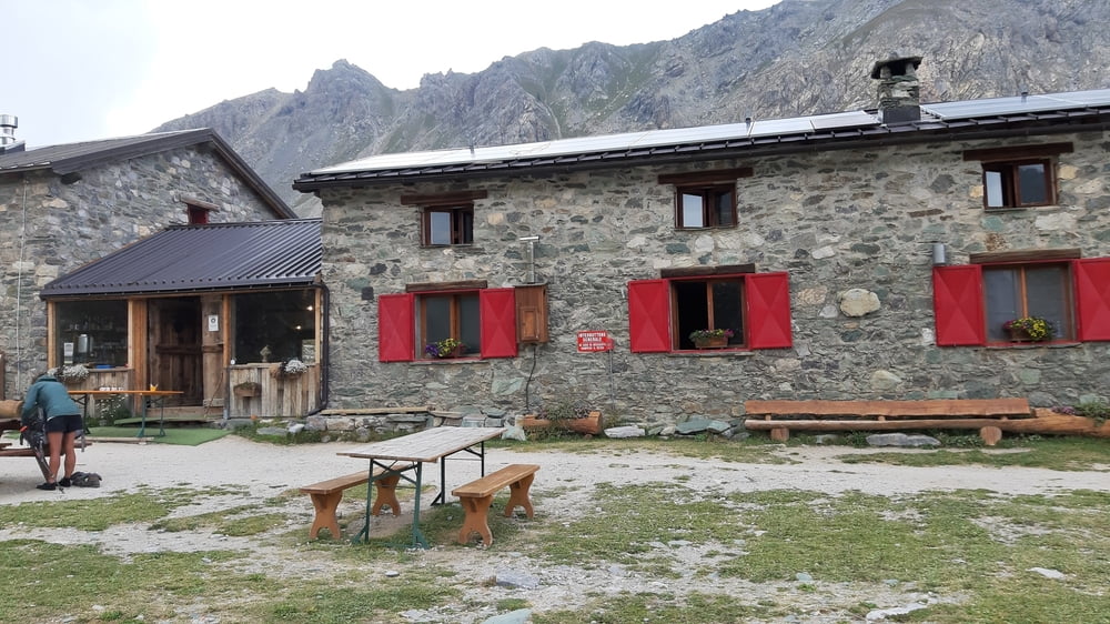
Vom Passo Gardetta dann auf einer Schotterstraße runter zum Rifugio. Wegen Wassermangels ist keine Dusche möglich. HP 40€ (CAI). Gutes Preis-Leistungsverhältnis und sehr nette Tischgemeinschaft:
2 Zürcher Weitwanderinnen, 1 norddeutsche Weitwanderin (seit 6 Wochen am Weg, komplette GTA als Vorbereitung für die Neuseeland-Durchquerung: 3000km!), Vater und Sohn aus Augsburg, die zum Meer biken und ein junges italienisches Paar: er hat eine Cocktailbar, sie ist Pharmazeutin.
Galería de rutas
Mapa de la ruta y perfil de altitud
Minimum height 1829 m
Maximum height 2620 m
More about the tour author
|
|
mitter |
Comentarios

Start vom Passo della Maddalena, Rifugio della Pace.
Tracks GPS
Puntos del track-
GPX / Garmin Map Source (gpx) download
-
TCX / Garmin Training Center® (tcx) download
-
CRS / Garmin Training Center® (crs) download
-
Google Earth (kml) download
-
G7ToWin (g7t) download
-
TTQV (trk) download
-
Overlay (ovl) download
-
Fugawi (txt) download
-
Kompass (DAV) Track (tk) download
-
Hoja de ruta (pdf) download
-
Original file of the author (gpx) download
More about the tour author
|
|
mitter |
Add to my favorites
Remove from my favorites
Edit tags
Open track
Mi valoración
Rate