


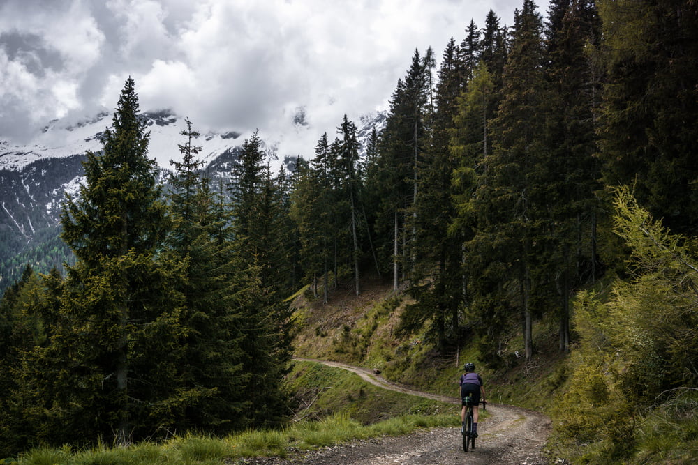
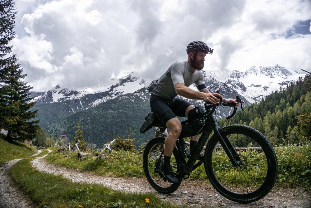
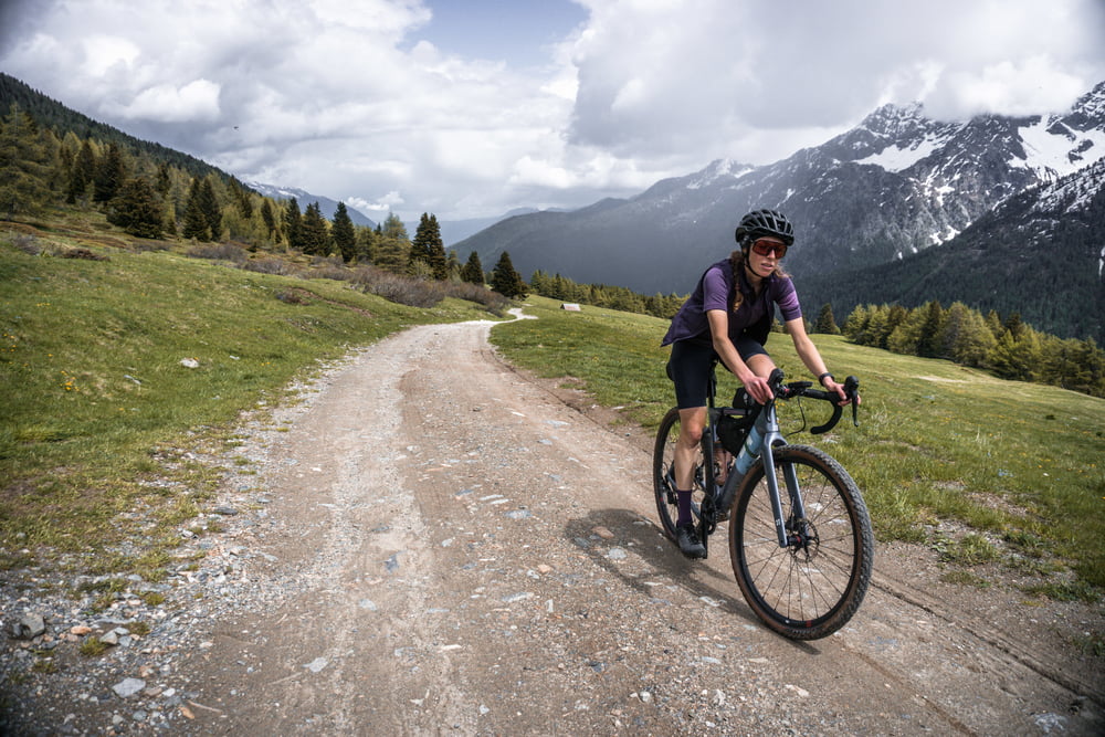
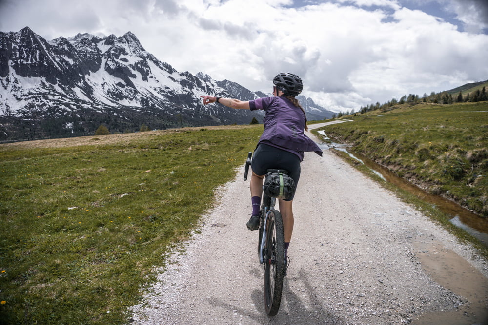
Starting from Ossana, we alternate between stretches on beaten ground, dirt roads, meadows and forest roads (a really varied panorama and terrain) until we reach the Tonale pass. A well-deserved break and after a short final climb, the long descent begins on stones and beaten earth that takes you back to Ossana. A minimum of technique is required to hold the bike, as the surface is sometimes uneven but always rideable without too much difficulty. Worthy of note are the various forts in the surrounding of the descent, which date back to the First World War.
Further information at
https://www.komoot.it/tour/883361559Galería de rutas
Mapa de la ruta y perfil de altitud
Minimum height 992 m
Maximum height 1975 m
More about the tour author

|
Helios_Bolzano |
Comentarios

Directions can be found over https://www.visitvaldisole.it/en/how-to-get-here
Tracks GPS
Puntos del track-
GPX / Garmin Map Source (gpx) download
-
TCX / Garmin Training Center® (tcx) download
-
CRS / Garmin Training Center® (crs) download
-
Google Earth (kml) download
-
G7ToWin (g7t) download
-
TTQV (trk) download
-
Overlay (ovl) download
-
Fugawi (txt) download
-
Kompass (DAV) Track (tk) download
-
Hoja de ruta (pdf) download
-
Original file of the author (gpx) download
More about the tour author
|
|
Helios_Bolzano |
Add to my favorites
Remove from my favorites
Edit tags
Open track
Mi valoración
Rate