


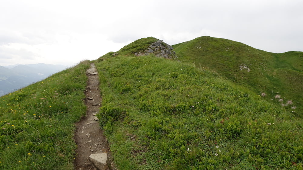
Kurze Wanderung, vorbei am Seekarsee, zum Gipfel der Schwarzwand (2194 m).
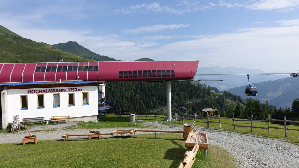
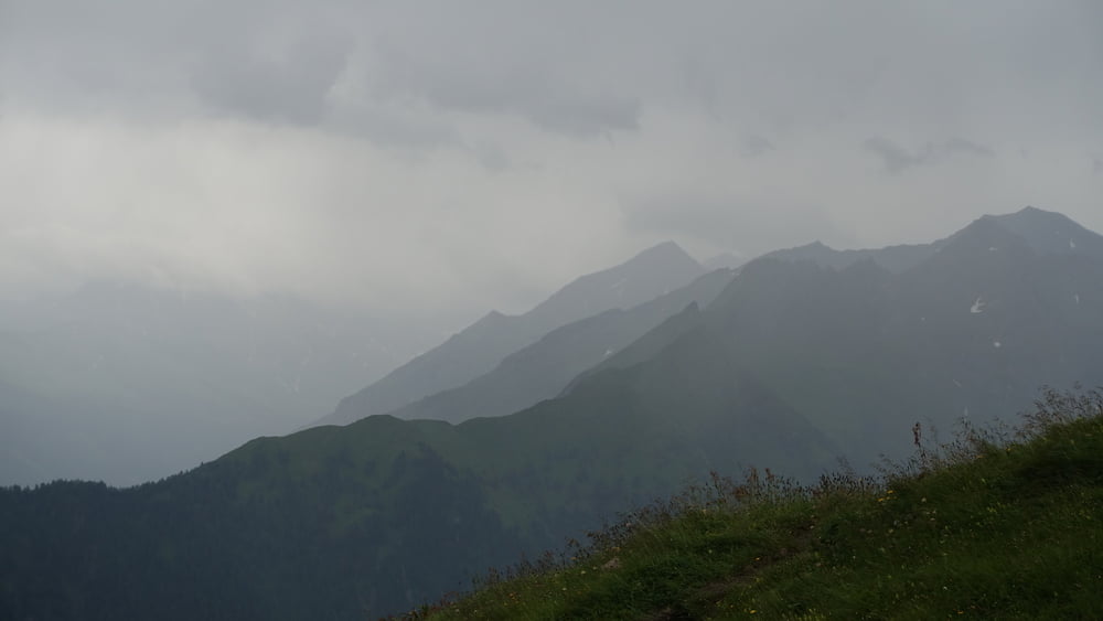
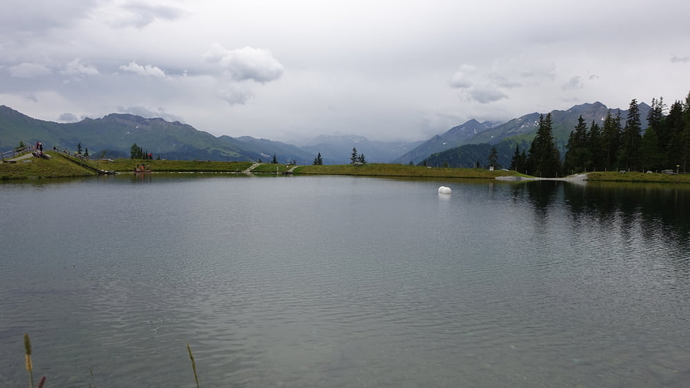
Von der Bergstation der Hochalmbahn leicht ansteigend bis zur Hochalmhütte, dann rechts vorbei an der Greifvogelwarte der Markierung 116 folgen. Steil bergauf am Seekarsee vorbei führt der Weg immer die Forststraße entlang. Das letzte Stück unterhalb des Gipfels folgt man einem Pfad, teilweise eine Gratwanderung bis zum Gipfel der Schwarzwand. Schade: Eigentlich war der Reißrachkopf noch miteingeplant aber böige Winde und Regen zwangen uns zur Planänderung. Dafür gabs noch eine Extrarunde um den Speichersee bevor es mit der Bergbahn wieder ins Tal ging.
Hinweise: Schwere Wandertour.
Start/Ziel: Bergstation Hochalmbahn
Markierung: 116
Route: Bergstation Hochalmbahn – Hochalmhütte – Greifvogelwarte – Seekarsee – Schwarzwand – Bergstation Hochalmbahn
Einkehrmöglichkeit: Hochalmhütte
POI: Schwarzwand, Speichersee
Galería de rutas
Mapa de la ruta y perfil de altitud
Minimum height 1747 m
Maximum height 2189 m
More about the tour author

|
ejee |
Comentarios

Tracks GPS
Puntos del track-
GPX / Garmin Map Source (gpx) download
-
TCX / Garmin Training Center® (tcx) download
-
CRS / Garmin Training Center® (crs) download
-
Google Earth (kml) download
-
G7ToWin (g7t) download
-
TTQV (trk) download
-
Overlay (ovl) download
-
Fugawi (txt) download
-
Kompass (DAV) Track (tk) download
-
Hoja de ruta (pdf) download
-
Original file of the author (gpx) download
More about the tour author
|
|
ejee |
Add to my favorites
Remove from my favorites
Edit tags
Open track
Mi valoración
Rate