Login

Olvidaste tu contraseña?

Las cookies tienen que estar habilitadas!
Las cookies no están habilitadas en tu navegador. Por favor, modifica la configuración antes de continuar.

Not a member yet?

Register now
Login

Available for registred users only

Log in to use this feature.

Olvidaste tu contraseña?

Las cookies tienen que estar habilitadas!
Las cookies no están habilitadas en tu navegador. Por favor, modifica la configuración antes de continuar.

Not a member yet?

Register now
Filtro
Categorías
Advanced filters
  • Distancia (km)
  • Altitud en metros
Guardar filtro Reset filter

TrackRank

QRCode

Technical data

Distancia468,2 km Altitud en metros10376 m Descenso10376 m Duración1 day 20 h Fecha07.08.2008
Valoraciones Autor Paisaje Diversión Condición Técnica

Estadística

101353 Visitas 3 Valoraciones 598 Descargas 4.33 Promedio
Rate
  • Hoja de ruta
  • Punto de partida
  • Descargas

Further information at

http://www.ruecki.com/

Galería de rutas

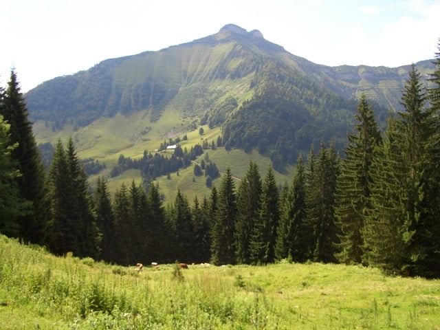
Mapa de la ruta y perfil de altitud

  • Open Street Map
  • Google
Minimum height 426 m Maximum height 2212 m Vista detallada

More about the tour author

ruecki
Member since 2007

Send private message

Comentarios

HagenLeschanz al 20.05.2009

Sehr schöne Tour...

... und super aufgearbeitet auf Deiner website. Hat mir sehr geholfen auf der Suche nach Wegen von Salzburg an die Adria durch Kärnten. Gruß aus Pörtschach & Danke fürs zur-Verfügung-stellen der Daten!
senior al 06.07.2009

Nice

I repeated the tour (premature end at Millstatter see because of bad weather) few weeks ago. Overall nice tour. A bit disturbing are many parts forbidden to cyclist (with no sensible reason); i just ignored that.
senior al 06.07.2009

Nice

I repeated the tour (premature end at Millstatter see because of bad weather) few weeks ago. Overall nice tour. A bit disturbing are many parts forbidden to cyclist (with no sensible reason); i just ignored that.

Tracks GPS

Puntos del track
  • GPX / Garmin Map Source (gpx) download
  • TCX / Garmin Training Center® (tcx) download
  • CRS / Garmin Training Center® (crs) download
  • Google Earth (kml) download
  • G7ToWin (g7t) download
  • TTQV (trk) download
  • Overlay (ovl) download
  • Fugawi (txt) download
  • Kompass (DAV) Track (tk) download
  • Hoja de ruta (pdf) download
  • Original file of the author (gpx) download

More about the tour author

ruecki
Member since 2007

Send private message
Share track
Add to my favorites
Remove from my favorites
Edit tags
Mi valoración
Rate
Ruta: Salzburg - Hermagor
Tipo: Transalpinas
Distancia: 468,2 km
valorizado al:
Duración:
Day(s)
Hour(s)
Minute(s)
Valoración: Paisaje Diversión Condición Técnica