


!!! Der Track wurde auf einer topographischen Karte erstellt und nicht mit einem GPS-Gerät aufgezeichnet !!!
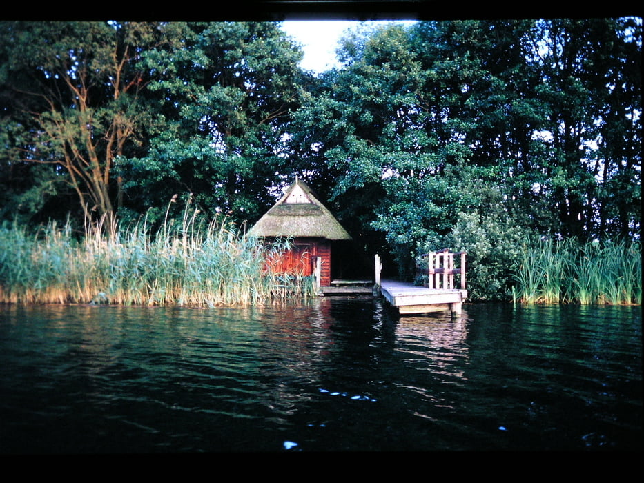
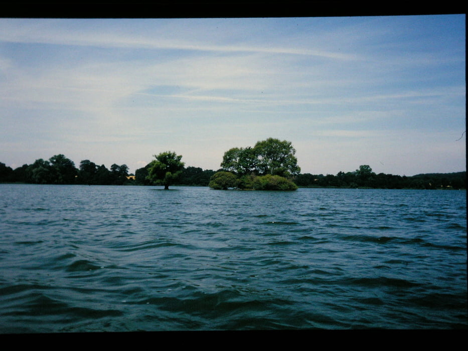
Mit 30 km² Seefläche und einer Tiefe von 58 m ist der im Naturpark Holsteinische Schweiz liegende See der größte in Schleswig-Holstein. Am Nordufer liegt die Kreisstadt Plön, mit dem auf einer Anhöhe gelegenen Plöner Schloss.
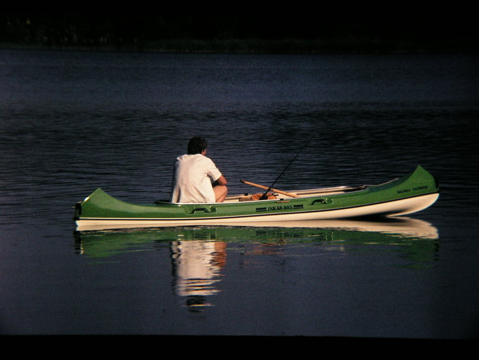
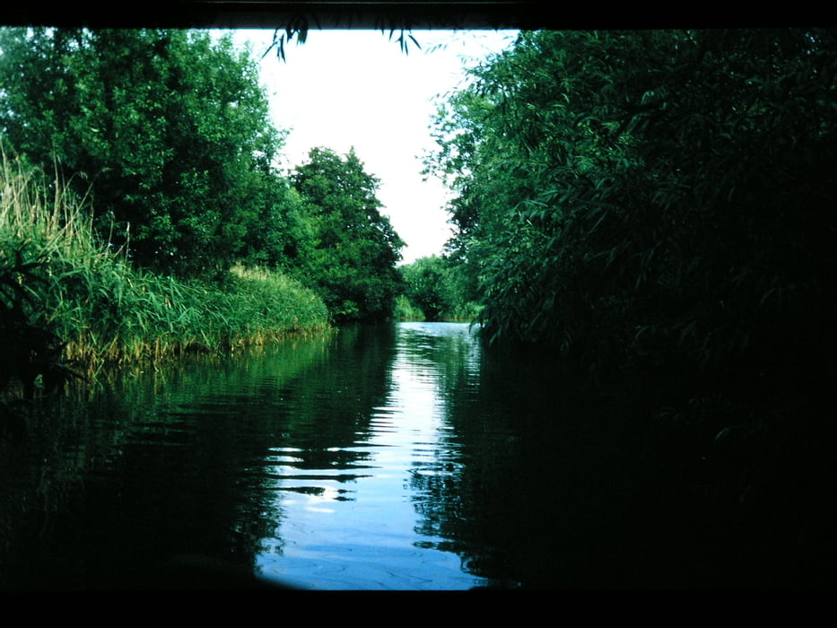
Wir hielten und seine Woche im Seengebiet auf und machten einige Touren von unterschiedlicher Länge. Die auf der Karte verzeichnete Tour legten wir also in aller Ruhe in mehrern Etappen zurück.
(Haftungsausschluss: siehe Nutzungsbestimmungen)
Mit 30 km² Seefläche und einer Tiefe von 58 m ist der im Naturpark Holsteinische Schweiz liegende See der größte in Schleswig-Holstein. Am Nordufer liegt die Kreisstadt Plön, mit dem auf einer Anhöhe gelegenen Plöner Schloss.
Wir hielten und seine Woche im Seengebiet auf und machten einige Touren von unterschiedlicher Länge. Die auf der Karte verzeichnete Tour legten wir also in aller Ruhe in mehrern Etappen zurück.
(Haftungsausschluss: siehe Nutzungsbestimmungen)
Further information at
http://de.wikipedia.org/wiki/Großer_Plöner_SeeGalería de rutas
Mapa de la ruta y perfil de altitud
Minimum height 19 m
Maximum height 22 m
Comentarios

Zeltplatz am Vierer See - aber - eine Anfahrtsbeschreibung ist doch nicht notwenig. Wozu haben wir GPS?
Tracks GPS
Puntos del track-
GPX / Garmin Map Source (gpx) download
-
TCX / Garmin Training Center® (tcx) download
-
CRS / Garmin Training Center® (crs) download
-
Google Earth (kml) download
-
G7ToWin (g7t) download
-
TTQV (trk) download
-
Overlay (ovl) download
-
Fugawi (txt) download
-
Kompass (DAV) Track (tk) download
-
Hoja de ruta (pdf) download
-
Original file of the author (gpx) download
Add to my favorites
Remove from my favorites
Edit tags
Open track
Mi valoración
Rate