


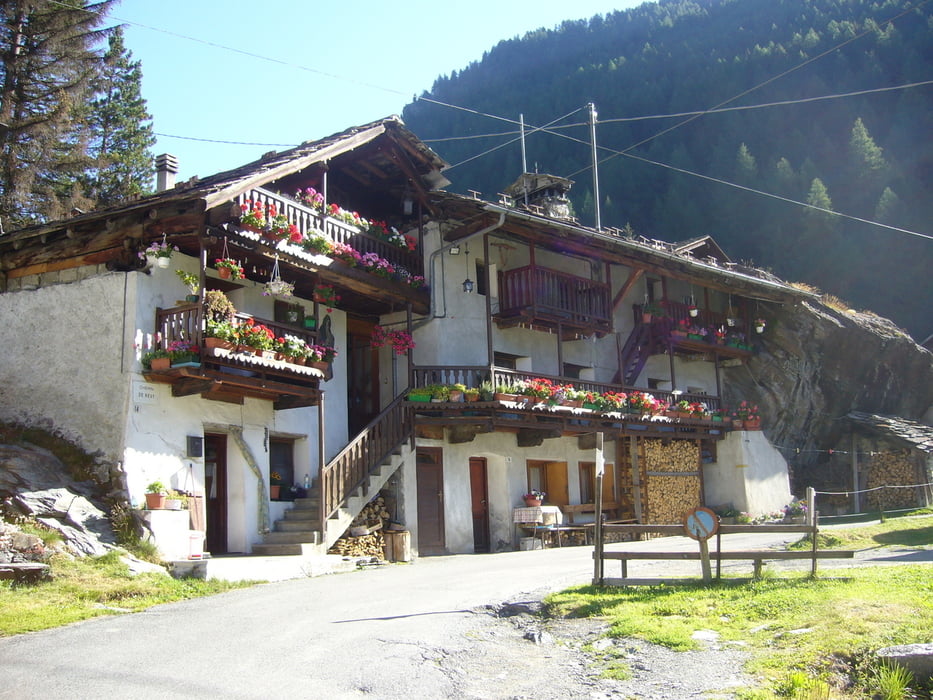
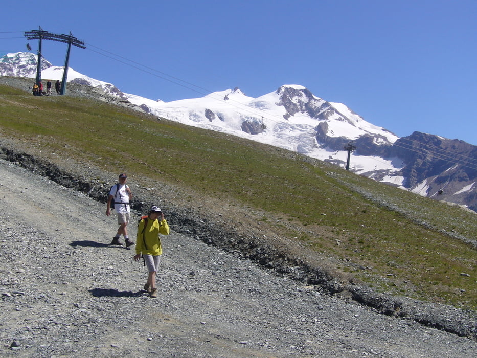
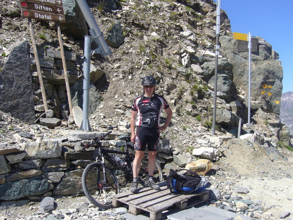
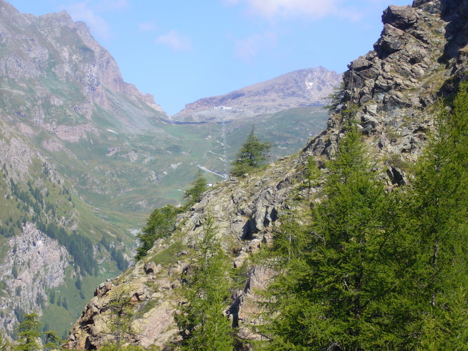
Im Val d`Ayas vom Hotel Relais des Glaciers**** in Champluc 1570m nach Frachey 1620m. Kurz danach biegt man noch auf Teerpiste rechts Richtung zum Rifugio ab. Ab dem Rifugio teils sehr steile und mit groben Schotter versehene, im Winter Skipiste zu neuen Bergstation des Skilifts von Frachey. Dann immer weiter auf Skipiste zur Alpe Bettarforca 2294m schieben sowie noch 45min zum Colle Bettarforca 2670m. Danach geiler Trail auf Schotterpiste bis Staffal 1800m und weiter auf Teerstraße nach Gressoney L`Trinite 1640m. Übernachtung im sehr schönen Hotel Jolanda Sport**** mit erstklassigen Service sowie Spa Bereich. Durchschnittsgeschwindigkeit~7.6km/h
Further information at
http://www.monterosa-ski.com/Galería de rutas
Mapa de la ruta y perfil de altitud
Minimum height 1559 m
Maximum height 2671 m
More about the tour author
|
|
Sport2008 |
Comentarios

* entweder mit dem Fahrrad ab Martigny über den Fenetre de Durand 2797m nach Ollomont 1370m und weiter über den Colle di Joux 1640m nach Champoluc 1570m Tour #44306
und Tour #45746
*oder Auto bis Champoluc
Tracks GPS
Puntos del track-
GPX / Garmin Map Source (gpx) download
-
TCX / Garmin Training Center® (tcx) download
-
CRS / Garmin Training Center® (crs) download
-
Google Earth (kml) download
-
G7ToWin (g7t) download
-
TTQV (trk) download
-
Overlay (ovl) download
-
Fugawi (txt) download
-
Kompass (DAV) Track (tk) download
-
Hoja de ruta (pdf) download
-
Original file of the author (gpx) download
More about the tour author
|
|
Sport2008 |
Add to my favorites
Remove from my favorites
Edit tags
Open track
Mi valoración
Rate