


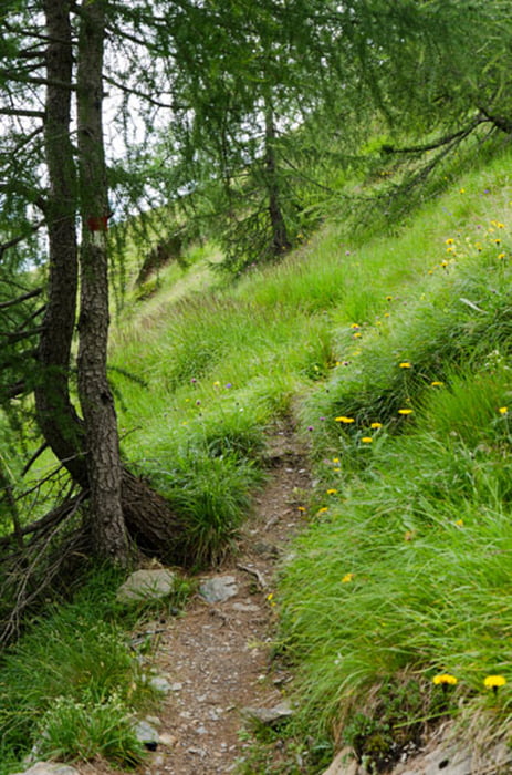
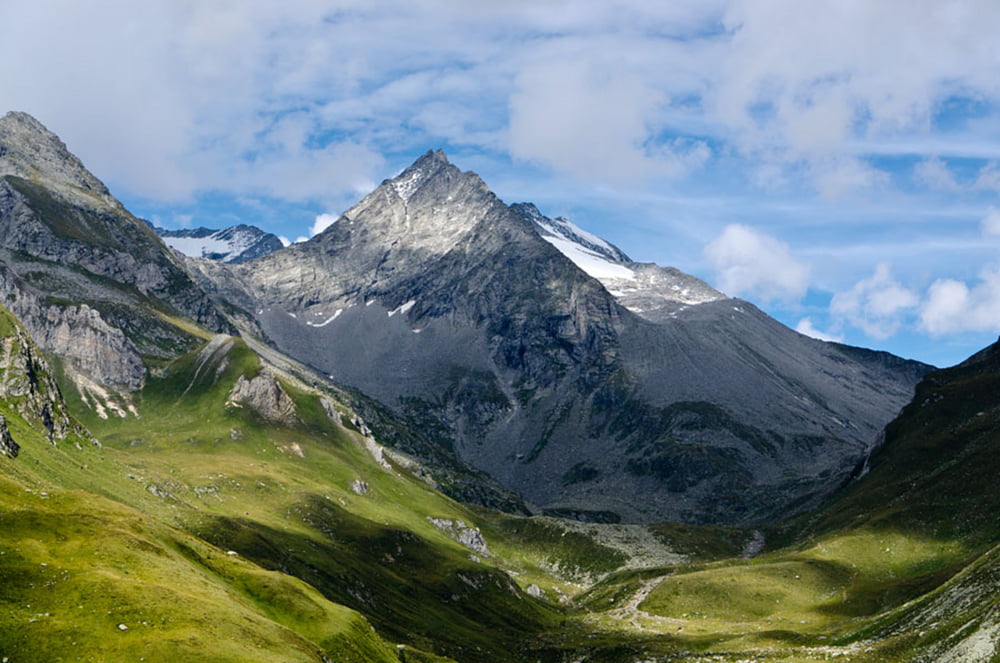
Unsere Almenwanderung in Pfunders beginnen wir mit dem Aufstieg über eine geteerte, kaum befahrene Nebenstraße entlang des Osthang (Beschilderung Sonnseite). Es geht zunächst zum Hauer Hof hinauf. Hinter dem Hof beginnt der - teils recht steile - Waldsteig zur Letterzogel Alm. Über einen wiederum steilen Wiesenpfad erklimmen wir erst die Krumalm, anschließend die Mitterhofer Alm, bevor wir auf dem Pfunderer Höhenweg in einem ständig auf und ab (Gruipa Alm, Holzergraben, Falzoarer Graben, Hauer Hütte, Kuhscharte) bis zur Gampilalm weiter wandern. Von der Gampilalm steigen wir - teils über die Schotterstraße, teils über Waldsteig Nr. 30 - ab zum Eggerstöckl, um schließlich über den Dorfrundweg unseren Ausgangspunkt kurz unterhalb des Obergasser Hofes zu erreichen.
Further information at
http://www.diewanderer.it/pfunderer-hoehenweg/Galería de rutas


Mapa de la ruta y perfil de altitud
Minimum height 1180 m
Maximum height 2283 m
More about the tour author

|
dimizu |
Comentarios

Über die A22 Abfahrt Brixen nach Vintl. In Niedervintl rechts nach Weitental und weiter bis nach Pfunders fahren.
Tracks GPS
Puntos del track-
GPX / Garmin Map Source (gpx) download
-
TCX / Garmin Training Center® (tcx) download
-
CRS / Garmin Training Center® (crs) download
-
Google Earth (kml) download
-
G7ToWin (g7t) download
-
TTQV (trk) download
-
Overlay (ovl) download
-
Fugawi (txt) download
-
Kompass (DAV) Track (tk) download
-
Hoja de ruta (pdf) download
-
Original file of the author (gpx) download
More about the tour author
|
|
dimizu |
Add to my favorites
Remove from my favorites
Edit tags
Open track
Mi valoración
Rate