


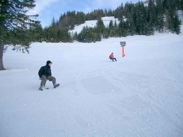
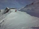
Die Tour startet bei der Talstation Hochgratbahn in Steibis. Entlang der Skipiste gehts nun vorbei am Eibele zur Oberen Lauchalm. Urige Hütte mit Einkehrmöglichkeit.
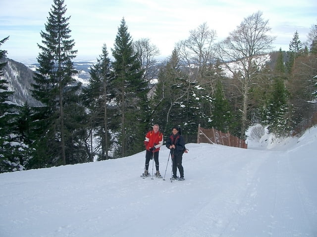
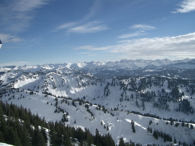
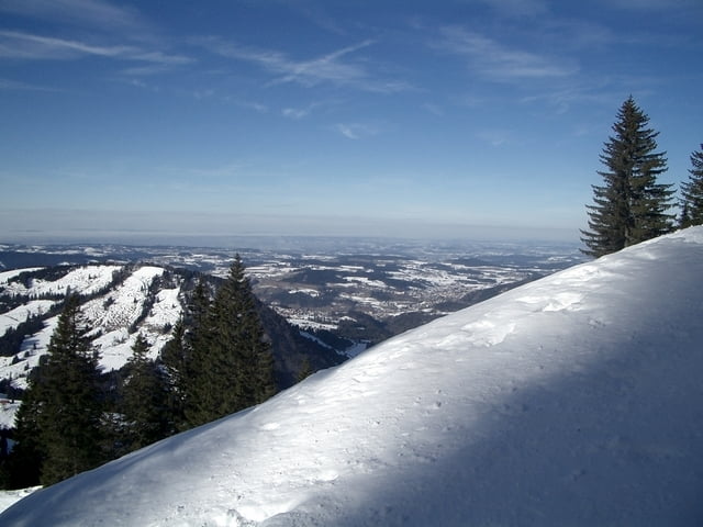
Weiter und vorbei am Staufener Haus kommen wir zur Bergstation Hochgratbahn. Hier bietet sich ein Panorama vom Bodensee, Allgäuer Alpen bis zum Bregenzerwald. Von hier gibts nun die Möglichkeit mit der Hochgratbahn oder noch besser mit (selbst mitgebrachtem)Carvingschlitten ins Tal zu sausen.Dabei kommen wir über die Waldkarrabfahrt und vorbei an der Unteren Lauchalm zur Talstation.Bei nicht so guten Schneebedingungen ist diese Abfahrt auch der bessere/einfachere Weg für den Aufstieg.
Weiter und vorbei am Staufener Haus kommen wir zur Bergstation Hochgratbahn. Hier bietet sich ein Panorama vom Bodensee, Allgäuer Alpen bis zum Bregenzerwald. Von hier gibts nun die Möglichkeit mit der Hochgratbahn oder noch besser mit (selbst mitgebrachtem)Carvingschlitten ins Tal zu sausen.Dabei kommen wir über die Waldkarrabfahrt und vorbei an der Unteren Lauchalm zur Talstation.Bei nicht so guten Schneebedingungen ist diese Abfahrt auch der bessere/einfachere Weg für den Aufstieg.
Further information at
http://www.hochgrat.deGalerie du tour
Carte du tour et altitude
Minimum height 822 m
Maximum height 1680 m
More about the tour author
|
|
Bockrider |
Commentaires

Von Oberstaufen nach Steibis und zur Talstation Hochgratbahn. Parkplatz ist im Winter kostenlos.
Tracks GPS
Trackpoints-
GPX / Garmin Map Source (gpx) download
-
TCX / Garmin Training Center® (tcx) download
-
CRS / Garmin Training Center® (crs) download
-
Google Earth (kml) download
-
G7ToWin (g7t) download
-
TTQV (trk) download
-
Overlay (ovl) download
-
Fugawi (txt) download
-
Kompass (DAV) Track (tk) download
-
Feuille de tours (pdf) download
-
Original file of the author (gpx) download
More about the tour author
|
|
Bockrider |
Add to my favorites
Remove from my favorites
Edit tags
Open track
My score
Rate