


Kurzcharakteristik: kurze Schnuppertour mit tollem Trail.
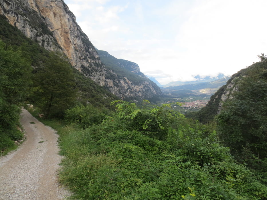
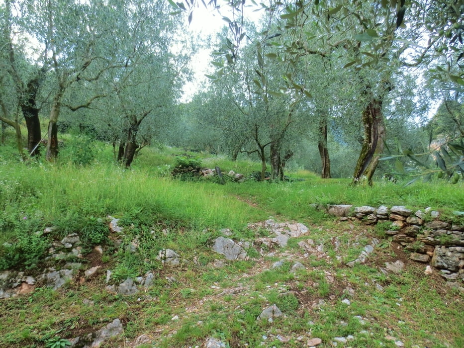
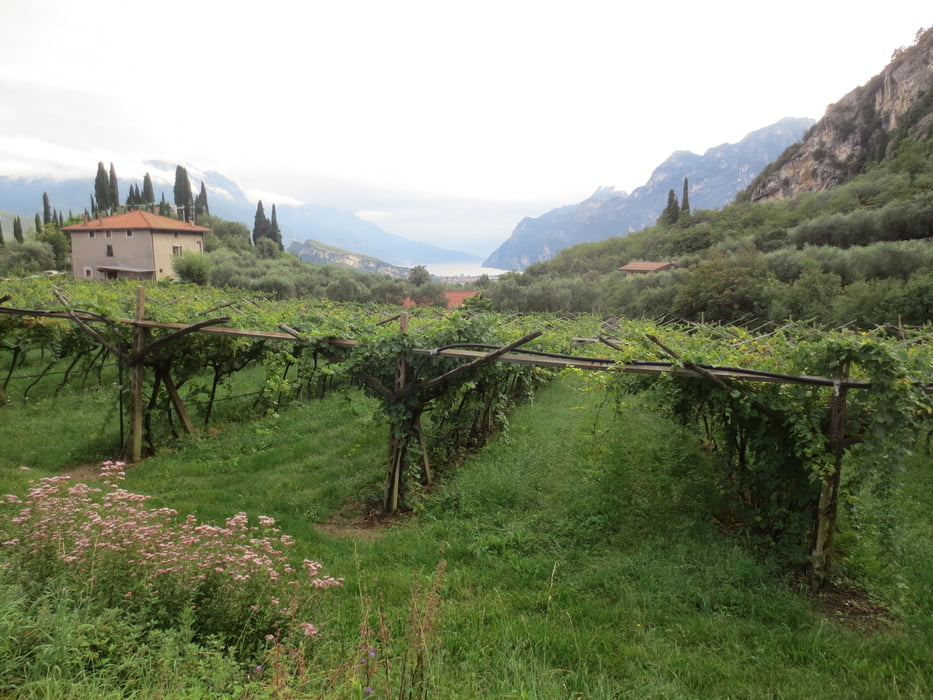
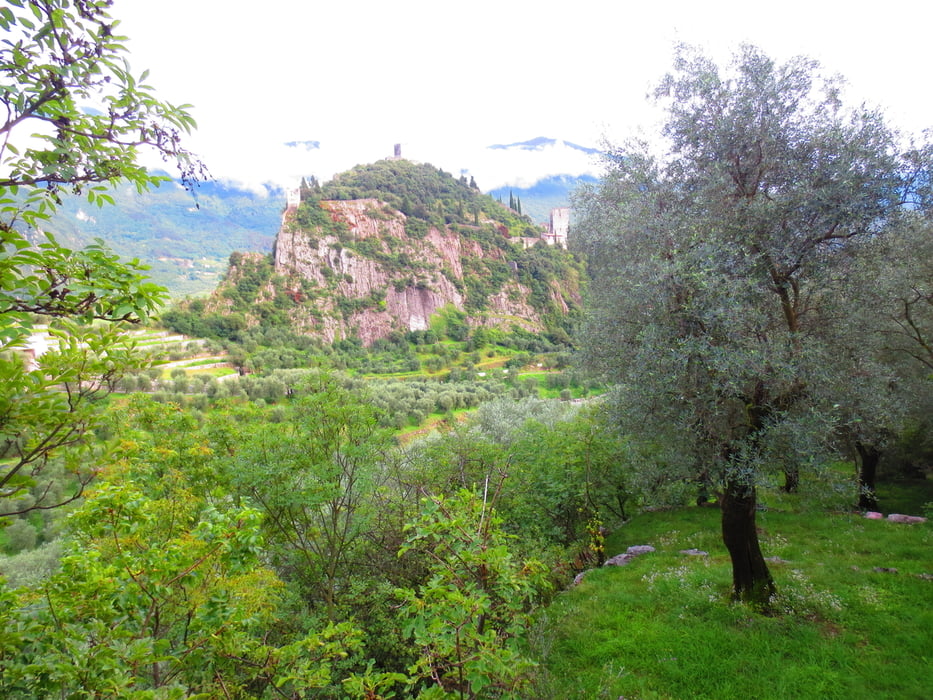
Wir starten am Camping Arco und fahren Richtung Ceniga, an der Römerbrücke vorbei und dann links bergauf in den Olivenhain. Später wird der Weg schmäler und führt auf eine steile Betonrampe die nur schiebend zu meistern ist. Weiter führt der Weg auf und ab, durch Wald und Olivenhaine bis man das Castel Arco im Blick hat. Rechts führt eineTeerstraße zu ein paar Häusern. Wir fahren direkt hinter dem Weg auf einem Feldweg in einen Olivenhain und auf einem tollen Trail steil bergab bis wir vor Arco auf den Kreuzweg treffen. Weiter geht es durch die Altstadt zum Campingplatz.
Wer keine Lust auf Trail hat fährt auf dem Weg weiter und kommt auch auf den Kreuzweg.
Galerie du tour
Carte du tour et altitude
Minimum height 72 m
Maximum height 372 m
More about the tour author
|
|
baumgarten |
Commentaires

Tracks GPS
Trackpoints-
GPX / Garmin Map Source (gpx) download
-
TCX / Garmin Training Center® (tcx) download
-
CRS / Garmin Training Center® (crs) download
-
Google Earth (kml) download
-
G7ToWin (g7t) download
-
TTQV (trk) download
-
Overlay (ovl) download
-
Fugawi (txt) download
-
Kompass (DAV) Track (tk) download
-
Feuille de tours (pdf) download
-
Original file of the author (gpx) download
More about the tour author
|
|
baumgarten |
Add to my favorites
Remove from my favorites
Edit tags
Open track
My score
Rate