Login

Login oublié ?

Cookies have to be accepted!
Your browser's cookie functionality is disabled. Please enable this functionality.

Not a member yet?

Register now
Login

Available for registred users only

Log in to use this feature.

Login oublié ?

Cookies have to be accepted!
Your browser's cookie functionality is disabled. Please enable this functionality.

Not a member yet?

Register now
Filter
Catégories
Advanced filters
  • Longueur (km)
  • Altimètre
Enregistrer le filtre Reset filter

TrackRank

QRCode

Technical data

Longueur14,3 km Altimètre876 m Way down878 m Durée04:40 h:m Date24.01.2016
Evaluations Author Paysage Aspect amusement Condition Technique

Statistiques

843 Vues Evaluations 20 Téléchargements Moyenne
Rate
  • Feuille de tours
  • Arrivée
  • Téléchargements

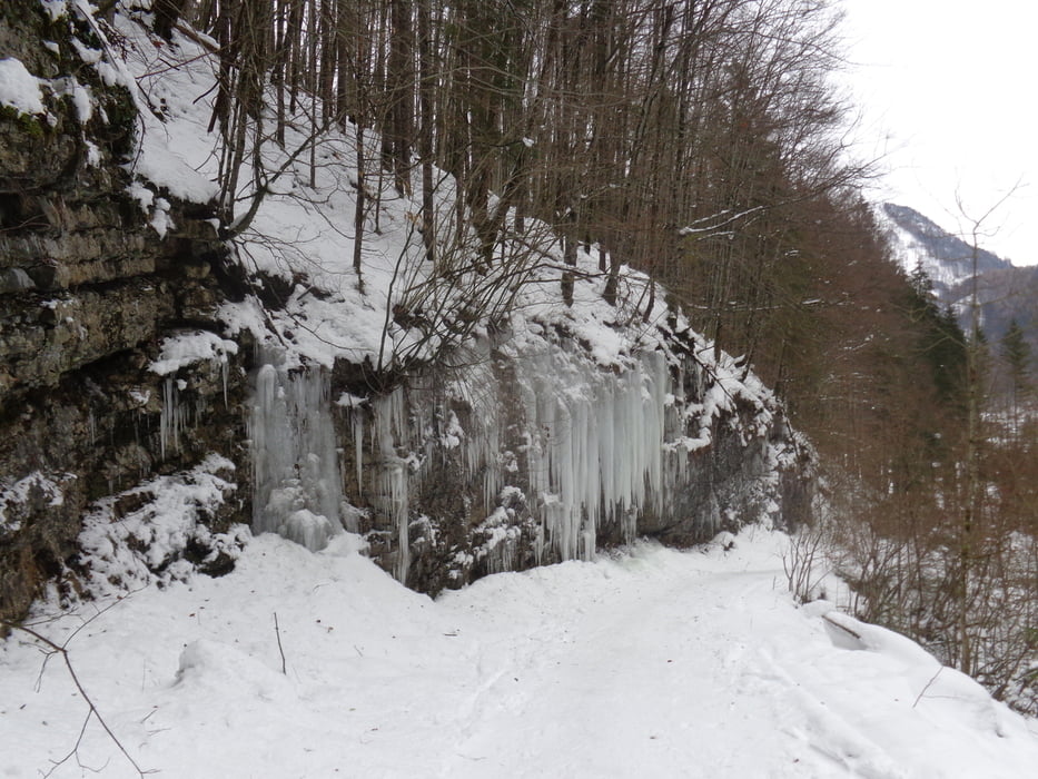
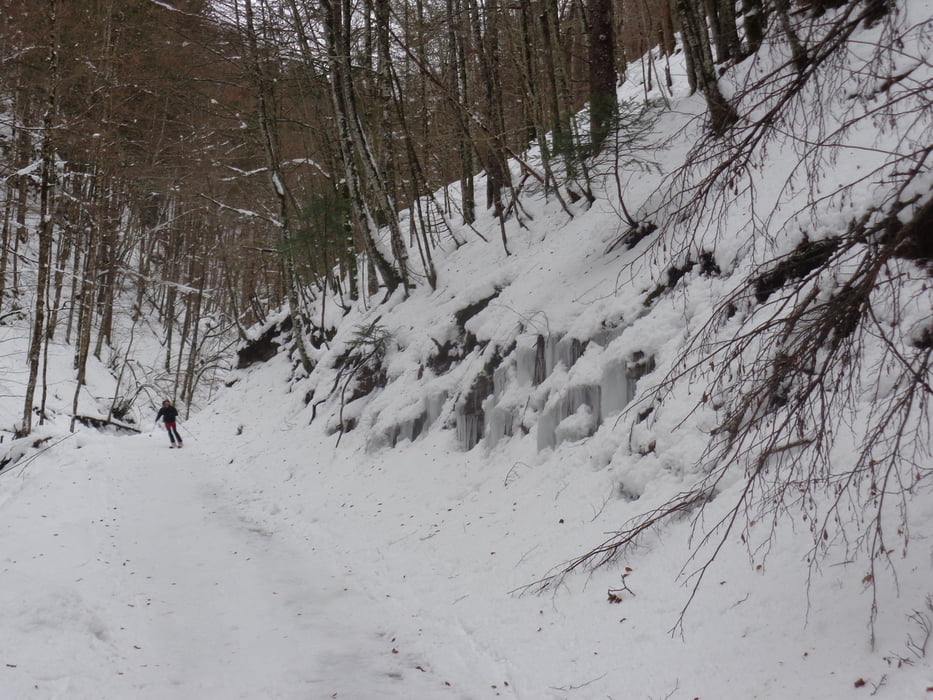
Vom Parkplatz entlang der Sommermarkierung 433 auf einem Ziehweg durch den Katzengraben. Hier wird eine meist geräumte Forststraße erreicht, die durch den schönen Wald bis zur Steyrer Hütte reicht.

Abstieg auf dem Anstiegsweg.

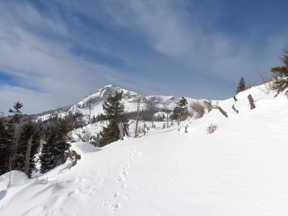
Bei guten Bedingungen kann auch noch der Kasberg erstiegen werden (ca. 1 1/4 Std. Aufstieg).

Further information at

http://www.steyrerhuette.at

Galerie du tour

Carte du tour et altitude

  • Open Street Map
  • Google
Minimum height 547 m Maximum height 1353 m Vue de détail

More about the tour author

JoHangler
Member since 2013

Send private message

Commentaires

Auf der A9 bis zur Ausfahrt Klaus; dann auf der Bundesstraße bis zur Abzweigung nach Steyrling. Durch den Ort und noch ca. 3 km ins Brunnental. Geräumte Parkplätze


Tracks GPS

Trackpoints
  • GPX / Garmin Map Source (gpx) download
  • TCX / Garmin Training Center® (tcx) download
  • CRS / Garmin Training Center® (crs) download
  • Google Earth (kml) download
  • G7ToWin (g7t) download
  • TTQV (trk) download
  • Overlay (ovl) download
  • Fugawi (txt) download
  • Kompass (DAV) Track (tk) download
  • Feuille de tours (pdf) download
  • Original file of the author (gpx) download

More about the tour author

JoHangler
Member since 2013

Send private message
Share track
Add to my favorites
Remove from my favorites
Edit tags
My score
Rate
Tour: Steyrerhütte
Cat.: Raquette
Longueur: 14,3 km
Evaluated on:
Durée:
Day(s)
Hour(s)
Minute(s)
Evaluation: Paysage Aspect amusement Condition Technique