


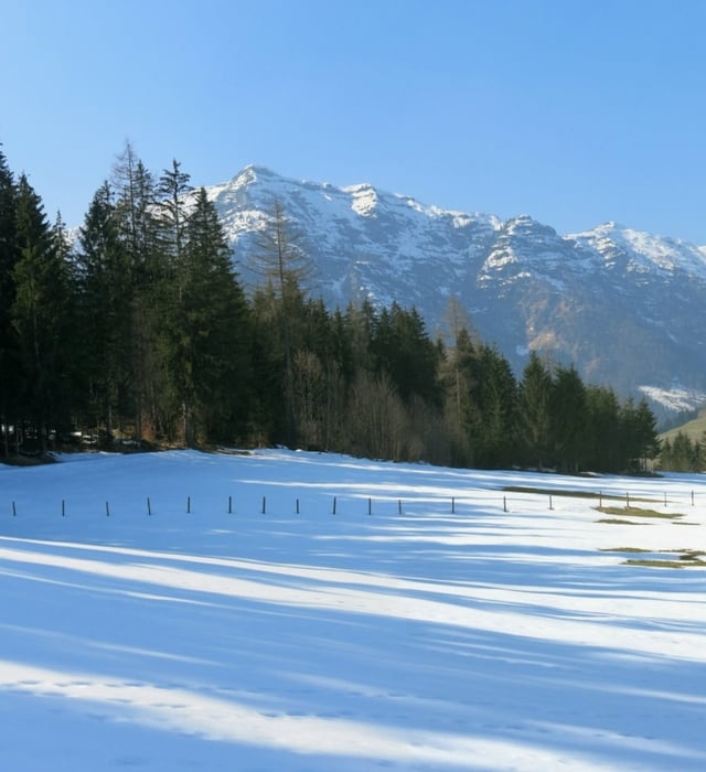
Um die Abfahrer nicht zu stören, gehen wir von der Talstation in weitem Linksbogen um den Babyhang herum und am Waldrand hinauf. Halbrechts zum Wald,an Wegweiser "Hausberg" 15 m rechts durch Unterholz: wir stehen auf einem nordwärts geneigten Hang mit herrlichem Schnee!!
Einfach drauflos in Richtung Talgrund; an einem kleinen Wegweiser nahe einem Gehöft (Loipenausstieg) endet der herrliche Schnee und wir gehen etwas nördlich des Herweges in strahlender Sonne zurück!
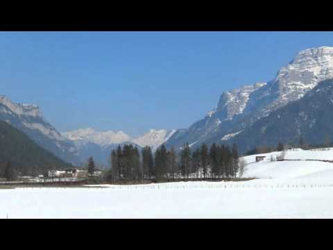
HINWEIS zum Video:
Mit Mozilla Firefox und Flash- Player Plugin startet das Video direkt.
Andernfalls verwendet ihr in eurem Browser den Link:
https://www.google.de/#q=AklY6P6r0WE
Further information at
http://www.terrasound.deGalerie du tour
Carte du tour et altitude
Minimum height 748 m
Maximum height 850 m
More about the tour author
|
|
heinz-57 |
Commentaires

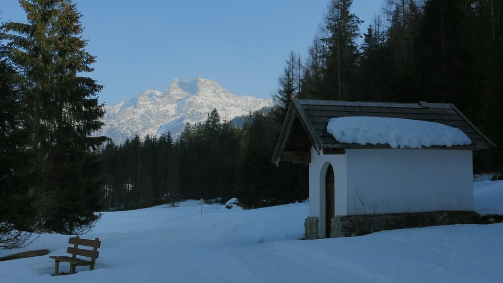
Von Kitzbühel oder Lofer kommend nach Waidring, am Gemeindeamt zur Liftstation.
Tracks GPS
Trackpoints-
GPX / Garmin Map Source (gpx) download
-
TCX / Garmin Training Center® (tcx) download
-
CRS / Garmin Training Center® (crs) download
-
Google Earth (kml) download
-
G7ToWin (g7t) download
-
TTQV (trk) download
-
Overlay (ovl) download
-
Fugawi (txt) download
-
Kompass (DAV) Track (tk) download
-
Feuille de tours (pdf) download
-
Original file of the author (gpx) download
More about the tour author
|
|
heinz-57 |
Add to my favorites
Remove from my favorites
Edit tags
Open track
My score
Rate