


Leichte Tour für Anfänger oder Familie
Tag 1,4,5 Mountainbikestrecke ohne technische Schwierigkeiten
Tag 2,3,6 überwiegend Fahrradwege
Tag 2,3 entlang Via Claudia
Übernachtungen in Gasthöfen oder Hotels sehr unproblematisch
Vorsicht: Rückfahrt von Rovereto oder Trient mit Fahrrad geht nur mit Regionalzügen
In Italien Karte bis Brenner lösen, umsteigen in Regionalbahn nach Insbruck (Karte kann im Zug gelöst werden)
1. Tag: von Mittenwald über Leutasch, Gaistal nach Ehrwald, Fernpaß nach Imst.
2. Tag: über Landeck hoch zum Reschenpaß
3. Tag: durch den Vinschgau hinunter nach Meran oder Lana
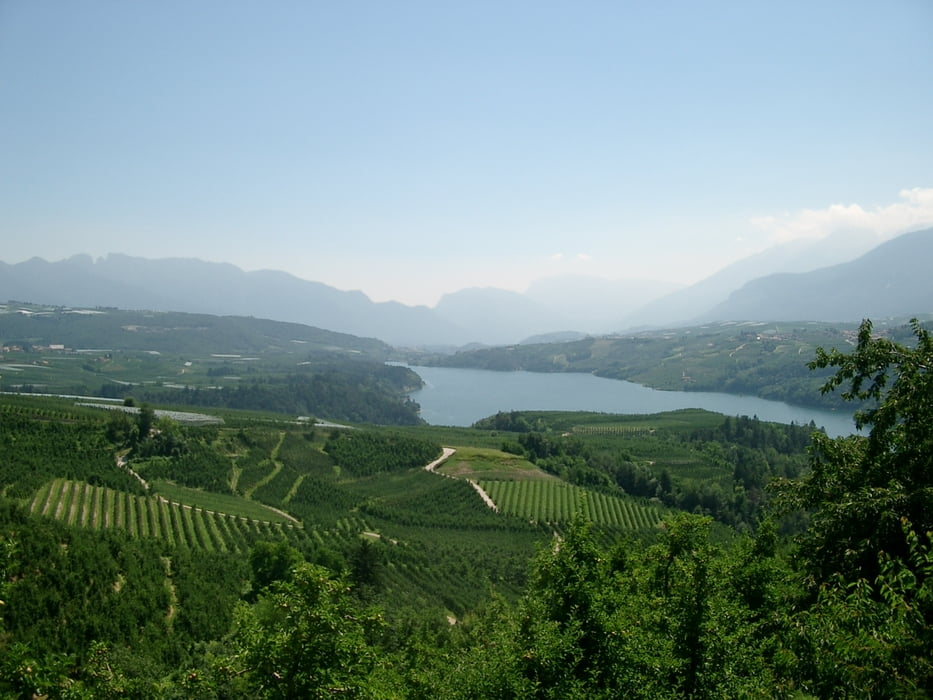
4. Tag: von Lana über Gampenpaß ins Brentagebirge zum Lago di Santa Giustina
5. Tag: über Madonna di Campiglio durch die Berge nach Stenico
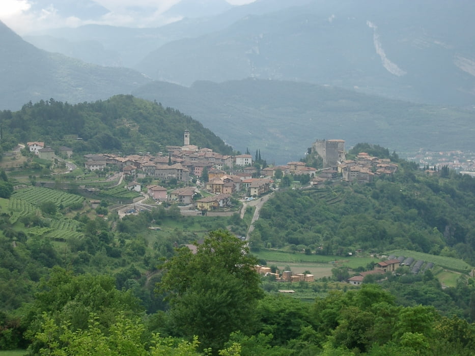
6. Tag: über Lomaso und Ballino zum Gardasee, weiter nach Rovereto bzw. Trient
Galerie du tour


Carte du tour et altitude
Minimum height 73 m
Maximum height 1666 m
More about the tour author
|
|
Kunz |
Commentaires

von München oder Insbruck zum Bahnhof Mittenwald Tirol
Tracks GPS
Trackpoints-
GPX / Garmin Map Source (gpx) download
-
TCX / Garmin Training Center® (tcx) download
-
CRS / Garmin Training Center® (crs) download
-
Google Earth (kml) download
-
G7ToWin (g7t) download
-
TTQV (trk) download
-
Overlay (ovl) download
-
Fugawi (txt) download
-
Kompass (DAV) Track (tk) download
-
Feuille de tours (pdf) download
-
Original file of the author (gpx) download
More about the tour author
|
|
Kunz |
Add to my favorites
Remove from my favorites
Edit tags
Open track
My score
Rate