
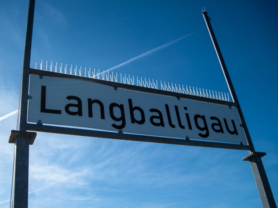

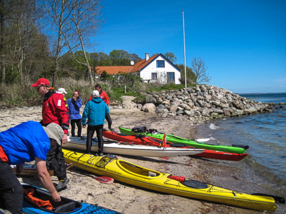
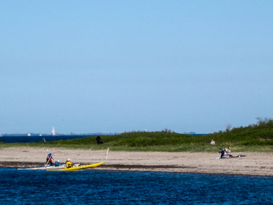
Von Langballigau queren wir die Außenförde in Richtung Sonderborg. Ein Teil der Gruppe fährt zum Hafen Sonderborg weiter, der 6,5 km Luftlinie weiter ist als dieser Endpunkt. Die Strecke beträgt dann 25 km.
Galerie du tour
Carte du tour et altitude
Minimum height -25 m
Maximum height 149 m
More about the tour author
|
|
sugesei |
Commentaires

Ohne Autoversetzen, Hin-und Rückfahrt Langballigau
Tracks GPS
Trackpoints-
GPX / Garmin Map Source (gpx) download
-
TCX / Garmin Training Center® (tcx) download
-
CRS / Garmin Training Center® (crs) download
-
Google Earth (kml) download
-
G7ToWin (g7t) download
-
TTQV (trk) download
-
Overlay (ovl) download
-
Fugawi (txt) download
-
Kompass (DAV) Track (tk) download
-
Feuille de tours (pdf) download
-
Original file of the author (gpx) download
More about the tour author
|
|
sugesei |
Add to my favorites
Remove from my favorites
Edit tags
Open track
My score
Rate