


Einfache Wanderung zur schön gelegenen Königsalpe bei Stiefenhofen.
Wir sind dieses mal den Weg ab Schüttentobel (Parkplatz Königsalpe) gegangen.
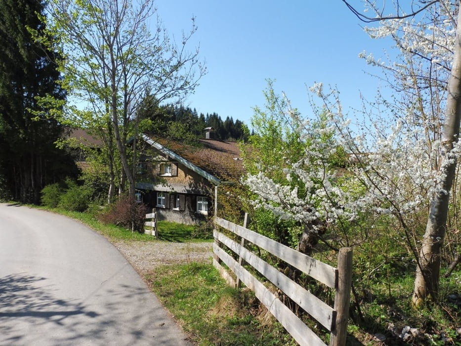
Erst auf befestigtem Fahrweg bis Pferrenberg, dann auf einem Wiesenweg bis zur Königsalpe.
Schöne Alpe mit Einkehrmöglichkeit und Panorama vom Feinsten.
Further information at
http://www.landhaus-haflingerhof.de/Galerie du tour


Carte du tour et altitude
Minimum height 663 m
Maximum height 934 m
More about the tour author
|
|
Bockrider |
Commentaires

Auf der St 2001 von Röthenbach/Allg. Richtung Sibratshofen.
Parken (kostenlos) bei Schüttentobel.
Öffnungszeiten der Königsalpe sind dort angeschrieben.
Tracks GPS
Trackpoints-
GPX / Garmin Map Source (gpx) download
-
TCX / Garmin Training Center® (tcx) download
-
CRS / Garmin Training Center® (crs) download
-
Google Earth (kml) download
-
G7ToWin (g7t) download
-
TTQV (trk) download
-
Overlay (ovl) download
-
Fugawi (txt) download
-
Kompass (DAV) Track (tk) download
-
Feuille de tours (pdf) download
-
Original file of the author (gpx) download
More about the tour author
|
|
Bockrider |
Add to my favorites
Remove from my favorites
Edit tags
Open track
My score
Rate