


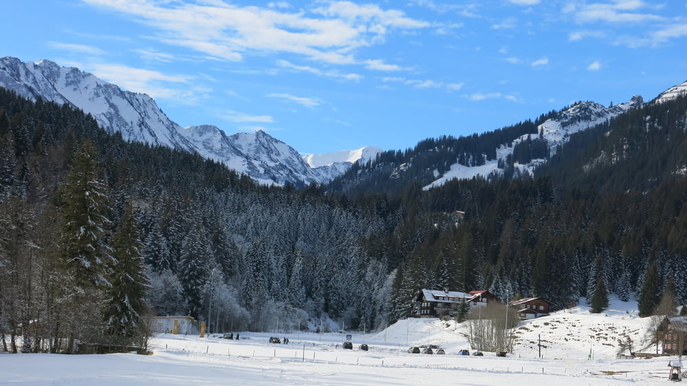
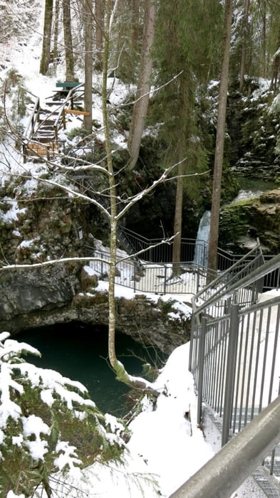
Hinter den Häusern nach Westen über den Höhenrücken, vor Straße zum "Wäldele" rechts abwärts abwärts und rechts des Wanderweges direkt an der Breitach entlang zur "Natürbrücke" der Breitach.Danach über Breitachbrücke nach link aufwärts und auf der Höhe zurück.
Galerie du tour

Carte du tour et altitude
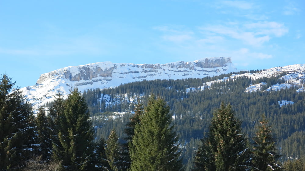
Minimum height 1053 m
Maximum height 1121 m
More about the tour author
|
|
heinz-57 |
Commentaires

Von Oberstdorf kommend durch Riezlern, gegen Ortsende nach Breitachbrücke rechts, nach Linkskurve rechts in die Eggstraße, am Hotel Erlebach vorbei, an der übernächsten Bushaltestelle kleiner Parkplatz.
Tracks GPS
Trackpoints-
GPX / Garmin Map Source (gpx) download
-
TCX / Garmin Training Center® (tcx) download
-
CRS / Garmin Training Center® (crs) download
-
Google Earth (kml) download
-
G7ToWin (g7t) download
-
TTQV (trk) download
-
Overlay (ovl) download
-
Fugawi (txt) download
-
Kompass (DAV) Track (tk) download
-
Feuille de tours (pdf) download
-
Original file of the author (gpx) download
More about the tour author
|
|
heinz-57 |
Add to my favorites
Remove from my favorites
Edit tags
Open track
My score
Rate