


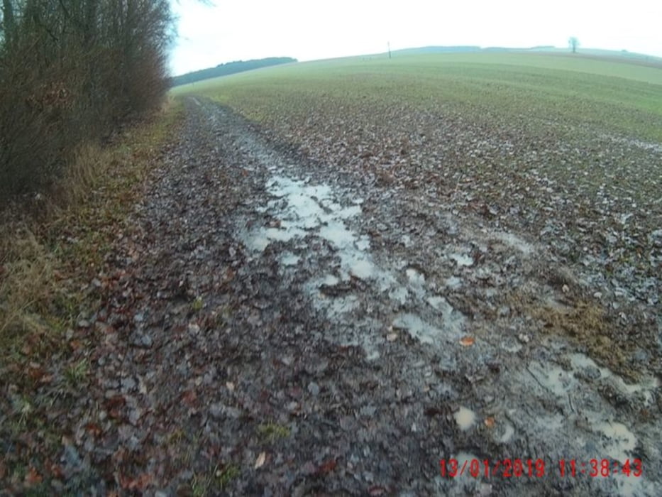
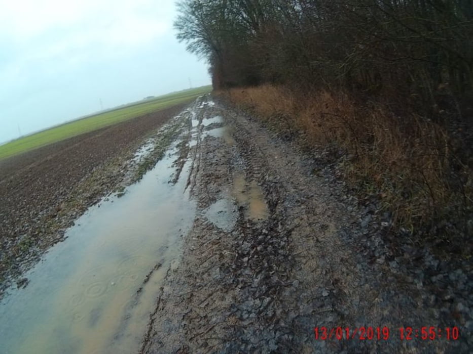
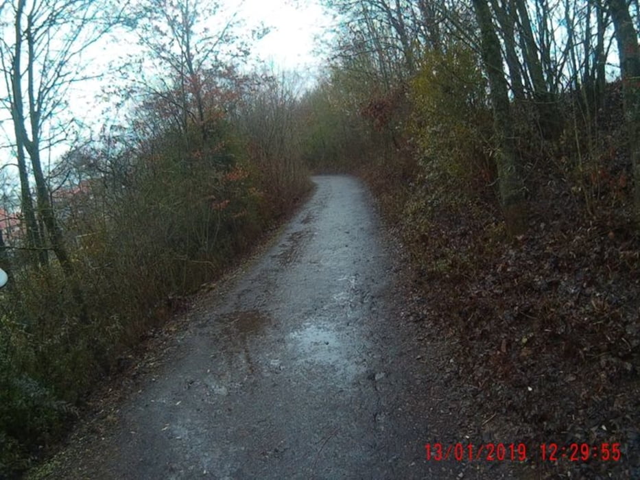
Wind, Dauerregen und viele one way trails bei 5 Grad! Schwerer Boden, im Wald (one way trails) und in den Äckern! ;-) Start in Gerbrunn. Den Judenpfad hinunter und dann Richtung Gut Wöllried.
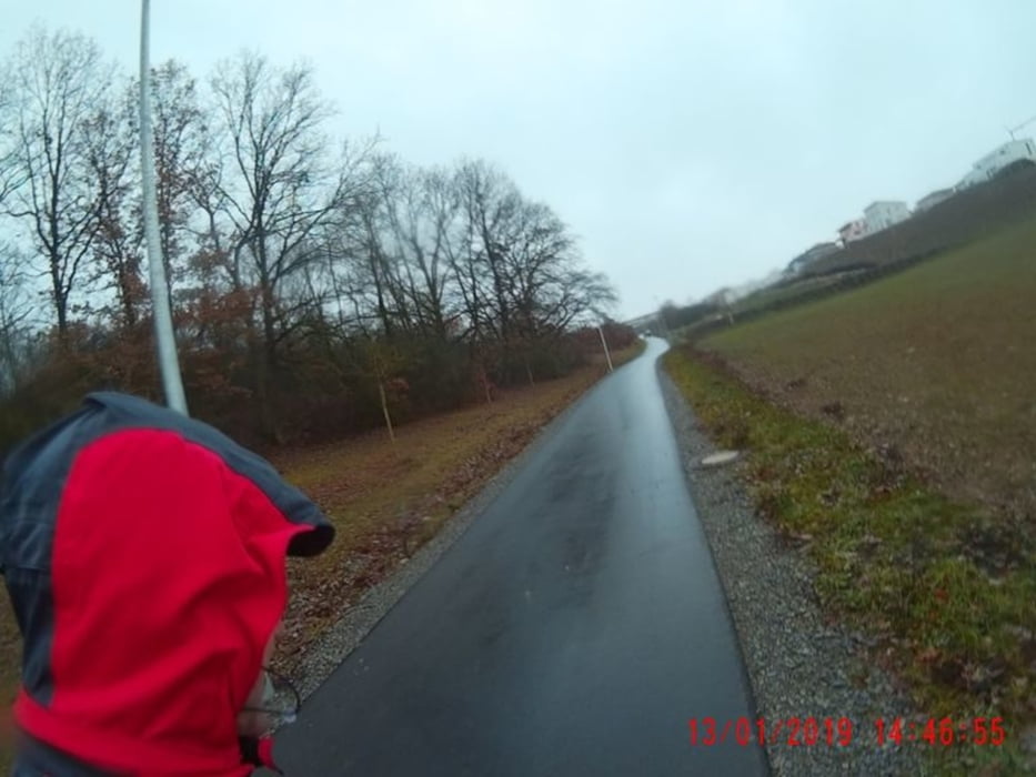
Nun Richtung Lengfeld, vorbei am Gefängnis. Und dann geht es ab in den Estenfelder Wald. Immer dem Navi nach, bis zum Rottendorfer Grasholz. Dort vorbei, Richtung Kürnach. Die Kirche war gerade aus??? Und ich sah aus :-) wie ein Wildschwein ;-). Weiter Richting Euerfeld, durch die Äcker, mit viel Matsch! Nach ca. 60 min sind wir kurz vor Euerfeld. Hier biegen wir an einem Marterle, in Richtung Rothof ab! 45 min später erreichen wir Rothof. Nach weiteren 40 min wird Rottendorf, durchquert und es sind nur noch 4km bis nach Gerbrunn! ;-)
Nun Richtung Lengfeld, vorbei am Gefängnis. Und dann geht es ab in den Estenfelder Wald. Immer dem Navi nach, bis zum Rottendorfer Grasholz. Dort vorbei, Richtung Kürnach. Die Kirche war gerade aus??? Und ich sah aus :-) wie ein Wildschwein ;-). Weiter Richting Euerfeld, durch die Äcker, mit viel Matsch! Nach ca. 60 min sind wir kurz vor Euerfeld. Hier biegen wir an einem Marterle, in Richtung Rothof ab! 45 min später erreichen wir Rothof. Nach weiteren 40 min wird Rottendorf, durchquert und es sind nur noch 4km bis nach Gerbrunn! ;-)
Further information at
https://www.relive.cc/view/p82736788Galerie du tour
Carte du tour et altitude
Minimum height -20 m
Maximum height 360 m
More about the tour author
|
|
Perikles |
Commentaires

Tracks GPS
Trackpoints-
GPX / Garmin Map Source (gpx) download
-
TCX / Garmin Training Center® (tcx) download
-
CRS / Garmin Training Center® (crs) download
-
Google Earth (kml) download
-
G7ToWin (g7t) download
-
TTQV (trk) download
-
Overlay (ovl) download
-
Fugawi (txt) download
-
Kompass (DAV) Track (tk) download
-
Feuille de tours (pdf) download
-
Original file of the author (gpx) download
More about the tour author
|
|
Perikles |
Add to my favorites
Remove from my favorites
Edit tags
Open track
My score
Rate