Login

Login oublié ?

Cookies have to be accepted!
Your browser's cookie functionality is disabled. Please enable this functionality.

Not a member yet?

Register now
Login

Available for registred users only

Log in to use this feature.

Login oublié ?

Cookies have to be accepted!
Your browser's cookie functionality is disabled. Please enable this functionality.

Not a member yet?

Register now
Filter
Catégories
Advanced filters
  • Longueur (km)
  • Altimètre
Enregistrer le filtre Reset filter

TrackRank

QRCode

Technical data

Longueur7,1 km Altimètre239 m Way down237 m Durée00:00 h:m Date14.02.2019
Evaluations Author Paysage Aspect amusement Condition Technique

Statistiques

393 Vues Evaluations 13 Téléchargements Moyenne
Rate
  • Feuille de tours
  • Arrivée
  • Téléchargements

Start der Tour ist am Parkplatz unterhalb Dreisesselberg

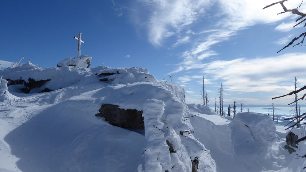
Am Böhmerwaldhauptkamm geht es zum Bayrischen Plöckenstein. Neuerdings mit einem 

Gipfelkreuz versehen.

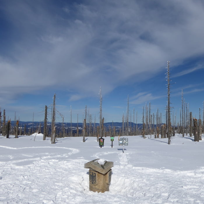
Weiter am Kamm bis zum Dreiländereck.

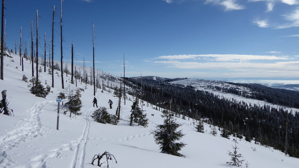
Abstieg Richtung Steinernes Meer. 

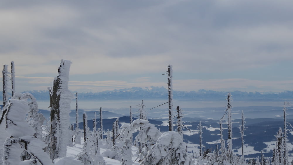
Durch das Steinerne Meer, welches komplett unter Schnee lag, wieder Aufstieg retour auf den Böhmerwaldhauptkamm und retour zum Ausgangspunkt

Galerie du tour

Carte du tour et altitude

  • Open Street Map
  • Google
Minimum height 1227 m Maximum height 1362 m Vue de détail

More about the tour author

Hoar
Member since 2009

Send private message

Commentaires

Tracks GPS

Trackpoints
  • GPX / Garmin Map Source (gpx) download
  • TCX / Garmin Training Center® (tcx) download
  • CRS / Garmin Training Center® (crs) download
  • Google Earth (kml) download
  • G7ToWin (g7t) download
  • TTQV (trk) download
  • Overlay (ovl) download
  • Fugawi (txt) download
  • Kompass (DAV) Track (tk) download
  • Feuille de tours (pdf) download
  • Original file of the author (gpx) download

More about the tour author

Hoar
Member since 2009

Send private message
Share track
Add to my favorites
Remove from my favorites
Edit tags
My score
Rate
Tour: Bayrischer Plöckenstein Dreiländereck Steinernes Meer
Cat.: Raquette
Longueur: 7,1 km
Evaluated on:
Durée:
Day(s)
Hour(s)
Minute(s)
Evaluation: Paysage Aspect amusement Condition Technique