


Vom PP kurz das Tal auf der Ostseite hinauf (micht im Talgrund!!), bis zur Loftskarsaetra Hütte. Dann linkshaltend ohne zu viel Höhenverlust an einer günstigen Stelle den Bach überqueren. Zuerst durch vereinzelte Büsche etwas steiler hinauf, dann über den Rücken zum Gipfel. Für die Abfahrt kann man am Rücken die beste Exposition für guten Schneeaussuchen. Dann links einfahren und hinab ins Tal zwischen Galtatind und Skarven.
Das Tal hinauf, und wo es einen leichten Rechtsknick macht leicht links hinauf zu einem Sattel.Dort links über den Rücken weiter hinauf an einer steinerenen Jägerhütte vorbei bis zum Gipfel
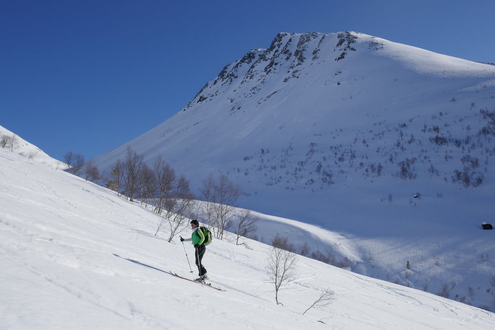
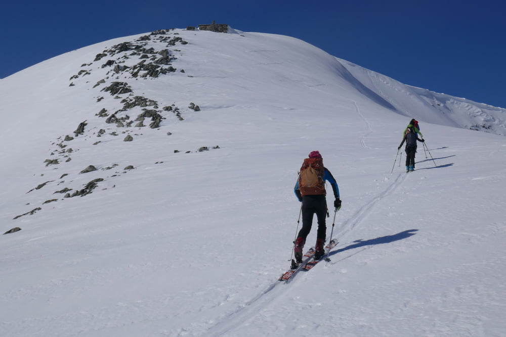
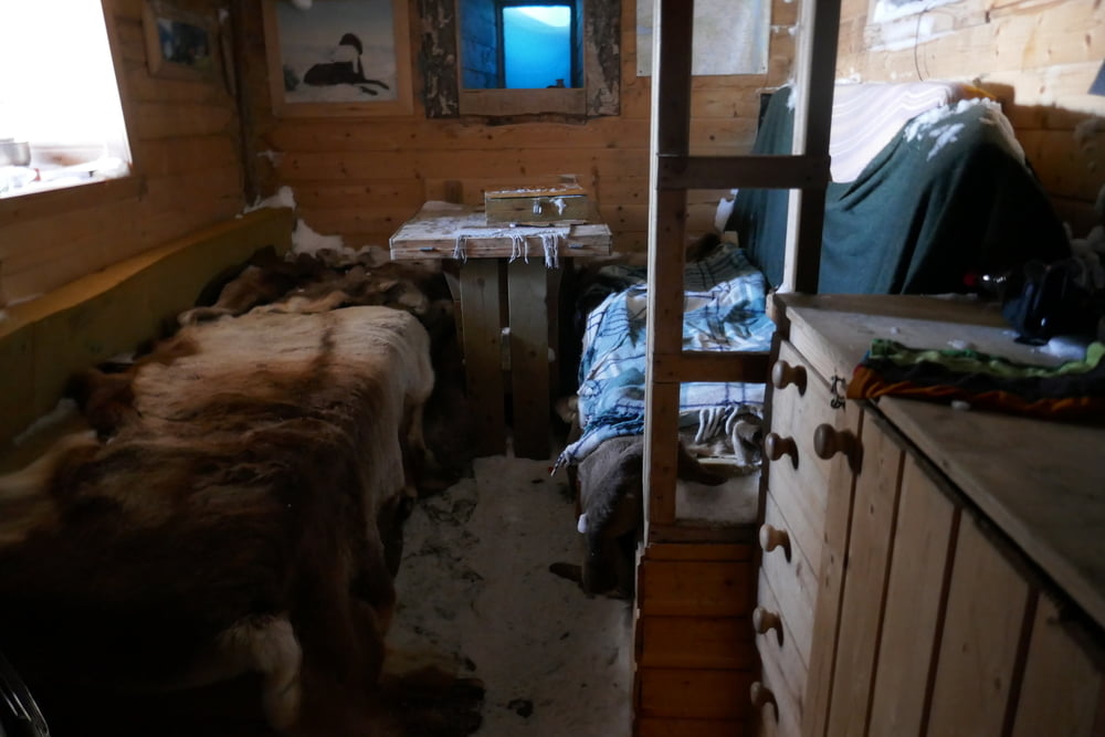
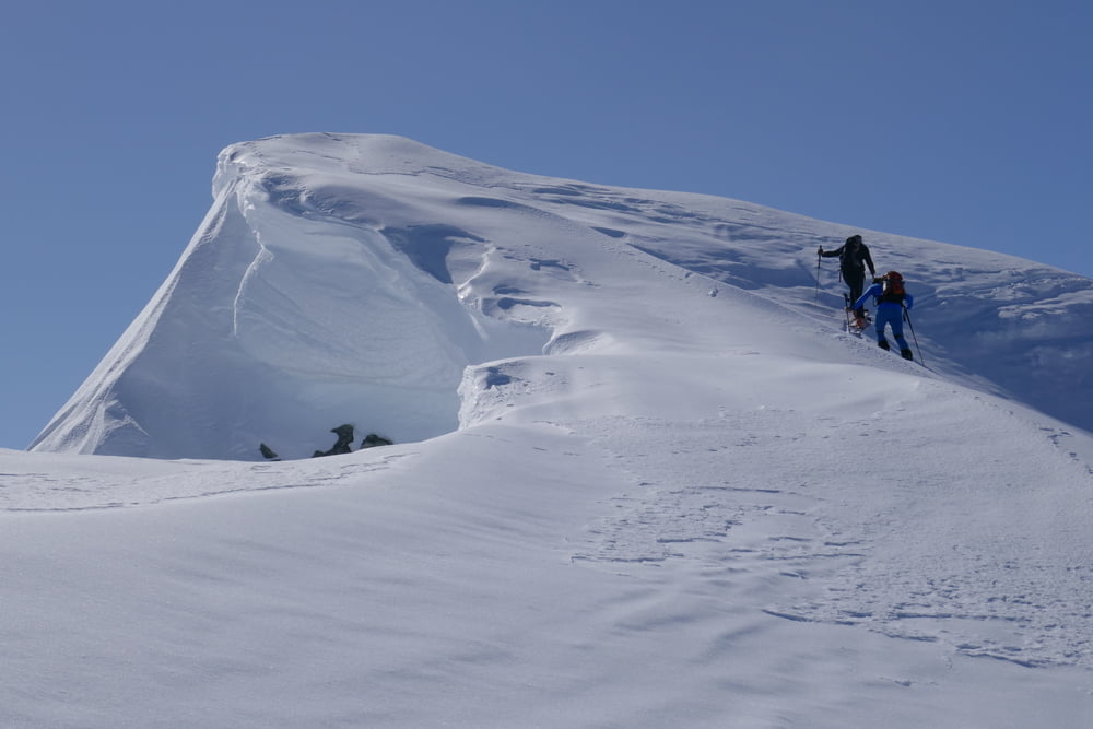
Galerie du tour
Carte du tour et altitude
Minimum height 182 m
Maximum height 1183 m
More about the tour author

|
Gi |
Commentaires

Von Isfjorden auf der 178 nach Osten. Kurz hinter Isfjorden die Straße links hinauf und an Abzweigung zum PP parken. Der sommePP wird im Winter meist nicht mit dem Auto erreichbar sein
Tracks GPS
Trackpoints-
GPX / Garmin Map Source (gpx) download
-
TCX / Garmin Training Center® (tcx) download
-
CRS / Garmin Training Center® (crs) download
-
Google Earth (kml) download
-
G7ToWin (g7t) download
-
TTQV (trk) download
-
Overlay (ovl) download
-
Fugawi (txt) download
-
Kompass (DAV) Track (tk) download
-
Feuille de tours (pdf) download
-
Original file of the author (gpx) download
More about the tour author
|
|
Gi |
Add to my favorites
Remove from my favorites
Edit tags
Open track
My score
Rate