


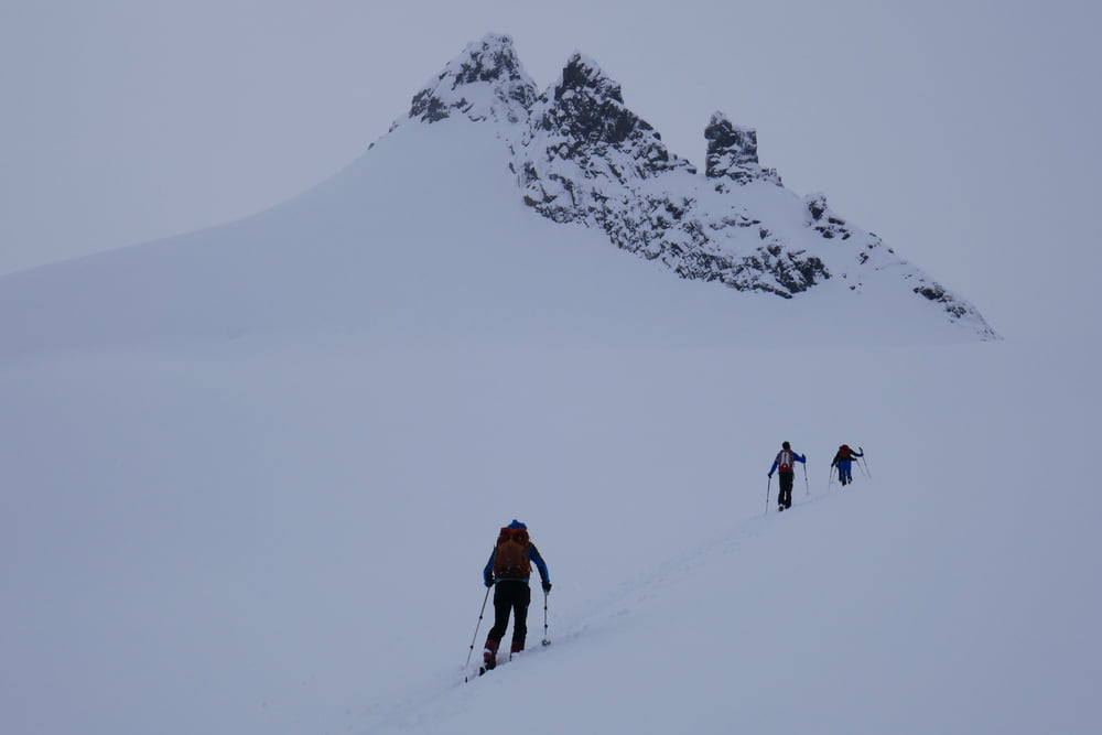
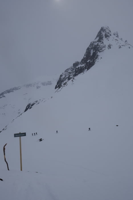
An der Standalhytta vorbei durchs Tal aufsteigen, nun leicht links auf Gratrücken und heikle Querung in den Talkessel der unschwierig weiter bis unter den Gipfel leitet. Gipfelanstieg dann wieder steiler.
Statt der Querung vermutlich beim Aufstieg dem Abfahrtstrack folgen und die Steilstufe wo am meisten Schnee liegt überwinden.
Nach dem Gipfel Abfahrt bis unter die Steilstufe und Wiederaufstieg in Richtung am Apelsinplatz vorbei bis auf einen Sattel. Dann Abfahrt durchs Tal zurück
Galerie du tour
Carte du tour et altitude
Minimum height 368 m
Maximum height 1412 m
More about the tour author

|
Gi |
Commentaires

Von Orsta bis zum Parkplatz an der Straße in der Nähe der Standalhytta
Tracks GPS
Trackpoints-
GPX / Garmin Map Source (gpx) download
-
TCX / Garmin Training Center® (tcx) download
-
CRS / Garmin Training Center® (crs) download
-
Google Earth (kml) download
-
G7ToWin (g7t) download
-
TTQV (trk) download
-
Overlay (ovl) download
-
Fugawi (txt) download
-
Kompass (DAV) Track (tk) download
-
Feuille de tours (pdf) download
-
Original file of the author (gpx) download
More about the tour author
|
|
Gi |
Add to my favorites
Remove from my favorites
Edit tags
Open track
My score
Rate