


Vom PP kurz das Tal auf der Ostseite hinauf (micht im Talgrund!!), bis zur Loftskarsaetra Hütte.
Dann den direkt über der Hütte befindlichen Rücken, leicht rechts haltend bis zum Gipfel hinauf.
Abfahrt wie Aufstieg, oder, wenn man noch den Kyrkietaket besteigen will oberhalb (östlich) der Hütte ins Tal einfahren und auf den Rücken der vom Kyrkietaket in Richtung PP zieht aufsteigen. Über debn Rücken zum Gipfel. Abfahrt entlang des Rückens und an günstiger Stelle hinab zur Hütte oder direkt zum Aufstiegsweg zur Hütte.
Überblicksfoto siehe Tour #167523 Galtatinden
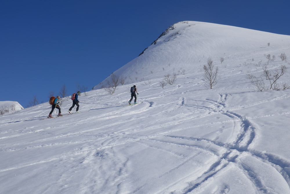
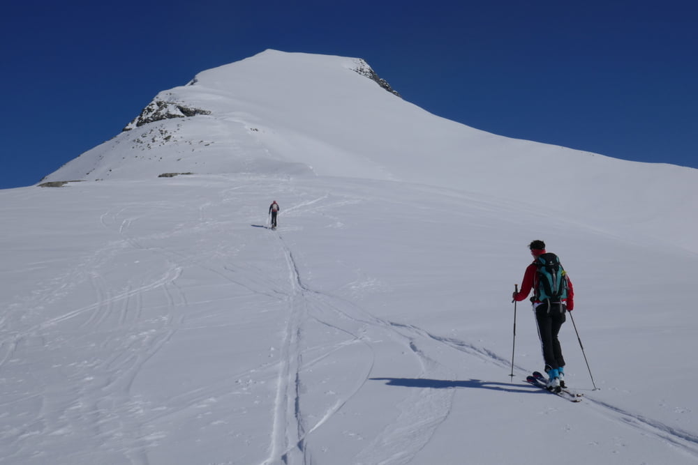
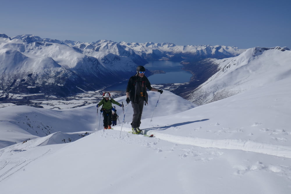
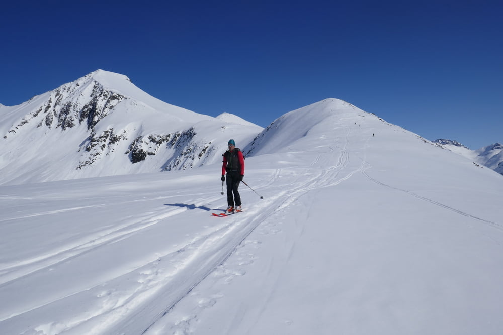
Galerie du tour
Carte du tour et altitude
Minimum height 102 m
Maximum height 1208 m
More about the tour author

|
Gi |
Commentaires

Von Isfjorden auf der 178 nach Osten und am Ortsende links hinauf. Parken wie bei Tour #167523:
Tracks GPS
Trackpoints-
GPX / Garmin Map Source (gpx) download
-
TCX / Garmin Training Center® (tcx) download
-
CRS / Garmin Training Center® (crs) download
-
Google Earth (kml) download
-
G7ToWin (g7t) download
-
TTQV (trk) download
-
Overlay (ovl) download
-
Fugawi (txt) download
-
Kompass (DAV) Track (tk) download
-
Feuille de tours (pdf) download
-
Original file of the author (gpx) download
More about the tour author
|
|
Gi |
Add to my favorites
Remove from my favorites
Edit tags
Open track
My score
Rate