Login

Login oublié ?

Cookies have to be accepted!
Your browser's cookie functionality is disabled. Please enable this functionality.

Not a member yet?

Register now
Login

Available for registred users only

Log in to use this feature.

Login oublié ?

Cookies have to be accepted!
Your browser's cookie functionality is disabled. Please enable this functionality.

Not a member yet?

Register now
Filter
Catégories
Advanced filters
  • Longueur (km)
  • Altimètre
Enregistrer le filtre Reset filter

TrackRank

QRCode

Technical data

Longueur37,6 km Altimètre1878 m Way down1893 m Durée04:56 h:m Date22.03.2020
Evaluations Author Paysage Aspect amusement Condition Technique

Statistiques

239 Vues Evaluations 4 Téléchargements Moyenne
Rate
  • Feuille de tours
  • Arrivée
  • Téléchargements
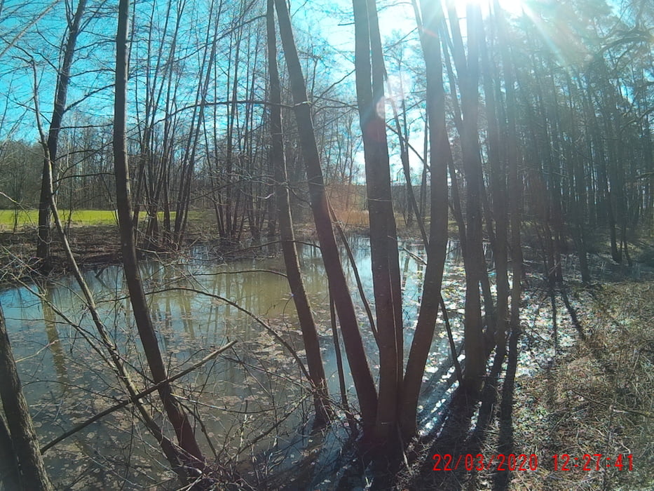
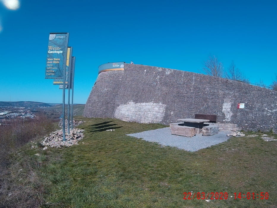
Start in Gerbrunn, nach Randersacker. Von das ein Stück in Richtung Lindelbach. Nach ca. 500m durch den Wald hoch aufs Plato. Weiter, vorbei an Sommerhausen zum Zeubelrieder Moor! Und zurück!

Galerie du tour

Carte du tour et altitude

  • Open Street Map
  • Google
Minimum height -2 m Maximum height 333 m Vue de détail

More about the tour author

Perikles
Member since 2018

Send private message

Commentaires

Entweder über die A 3 oder die A 7 erreichen Sie, im Norden Bayern, die schönste Stadt im Frankenland, Würzburg wird sie genannt! ;-)

Von da entweder, mit dem Auto, im Osten Würzburgs, Gerbrunn. Oder mit der Bahn komment und mit dem Bus (Linie14) Gerbrunn!

Tracks GPS

Trackpoints
  • GPX / Garmin Map Source (gpx) download
  • TCX / Garmin Training Center® (tcx) download
  • CRS / Garmin Training Center® (crs) download
  • Google Earth (kml) download
  • G7ToWin (g7t) download
  • TTQV (trk) download
  • Overlay (ovl) download
  • Fugawi (txt) download
  • Kompass (DAV) Track (tk) download
  • Feuille de tours (pdf) download
  • Original file of the author (gpx) download

More about the tour author

Perikles
Member since 2018

Send private message
Share track
Add to my favorites
Remove from my favorites
Edit tags
My score
Rate
Tour: Trailrun: Gerbrunn=>Zeubelrieder Moor
Cat.: Course
Longueur: 37,6 km
Evaluated on:
Durée:
Day(s)
Hour(s)
Minute(s)
Evaluation: Paysage Aspect amusement Condition Technique