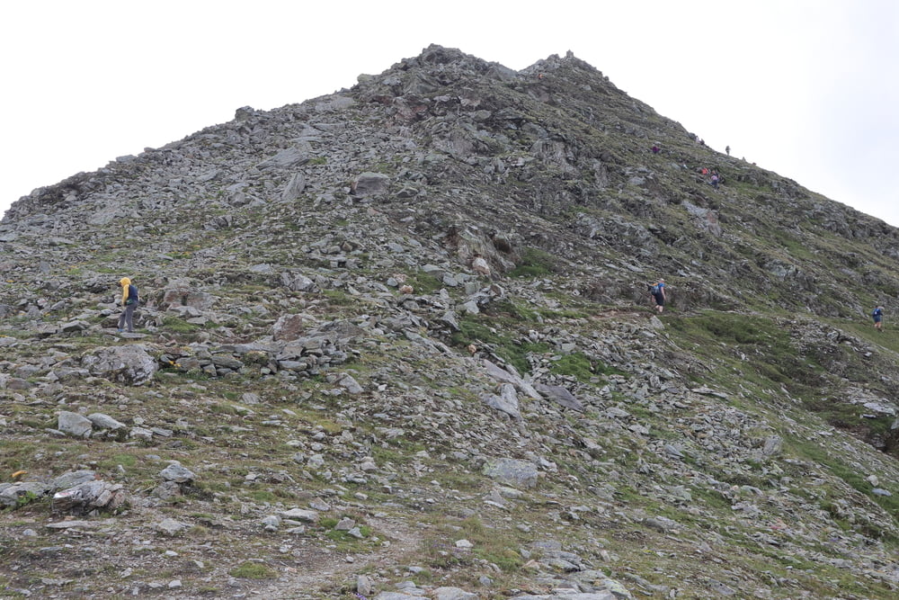
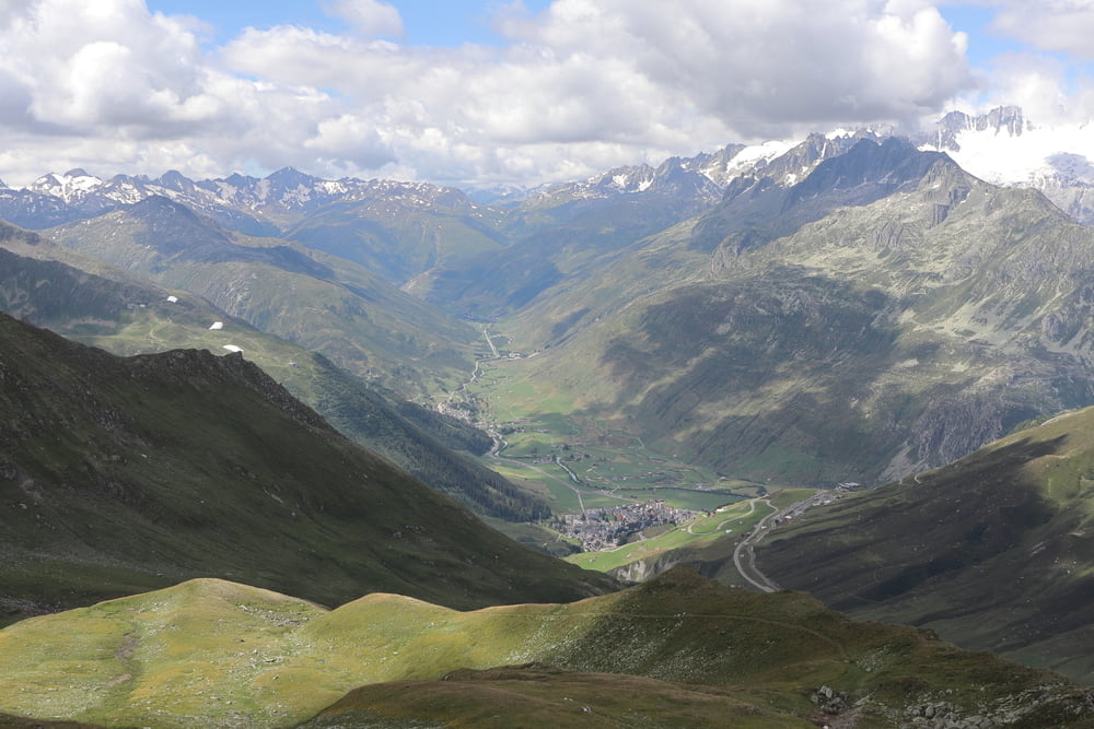
Login

Login oublié ?

Cookies have to be accepted!
Your browser's cookie functionality is disabled. Please enable this functionality.

Not a member yet?

Register now
Login

Available for registred users only

Log in to use this feature.

Login oublié ?

Cookies have to be accepted!
Your browser's cookie functionality is disabled. Please enable this functionality.

Not a member yet?

Register now
Filter
Catégories
Advanced filters
  • Longueur (km)
  • Altimètre
Enregistrer le filtre Reset filter

TrackRank

QRCode

Technical data

Longueur12,0 km Altimètre834 m Way down806 m Durée04:30 h:m Date25.07.2020
Evaluations Author Paysage Aspect amusement Condition Technique

Statistiques

179 Vues Evaluations 7 Téléchargements Moyenne
Rate
  • Feuille de tours
  • Arrivée
  • Téléchargements
.

Galerie du tour

Carte du tour et altitude

  • Open Street Map
  • Google
Minimum height 1970 m Maximum height 2704 m Vue de détail

More about the tour author

s-braeutigam
Member since 2009

Send private message

Commentaires

Der Ausgangspunkt Oberalpppass ist mit dem Auto (kostenpflichtige Parkplätze am Pass) oder mit der Bahn gut zu erreichen. Direkt am Pass befindet siche eine Bahnstation der Matterhorn-Gotthard-Bahn.

Tracks GPS

Trackpoints
  • GPX / Garmin Map Source (gpx) download
  • TCX / Garmin Training Center® (tcx) download
  • CRS / Garmin Training Center® (crs) download
  • Google Earth (kml) download
  • G7ToWin (g7t) download
  • TTQV (trk) download
  • Overlay (ovl) download
  • Fugawi (txt) download
  • Kompass (DAV) Track (tk) download
  • Feuille de tours (pdf) download
  • Original file of the author (gpx) download

More about the tour author

s-braeutigam
Member since 2009

Send private message
Share track
Add to my favorites
Remove from my favorites
Edit tags
My score
Rate
Tour: vom Oberalppass zum Pazolastock und Thomasee
Cat.: Tour en montagne
Longueur: 12,0 km
Evaluated on:
Durée:
Day(s)
Hour(s)
Minute(s)
Evaluation: Paysage Aspect amusement Condition Technique