


Von Neumarkt zum Passo San Lugano, bis hier könnte man auch die alte Bahntrasse benützen, die in Auer (2 Km nördlich dieser Tour) startet, die aber nicht asphaltiert ist.
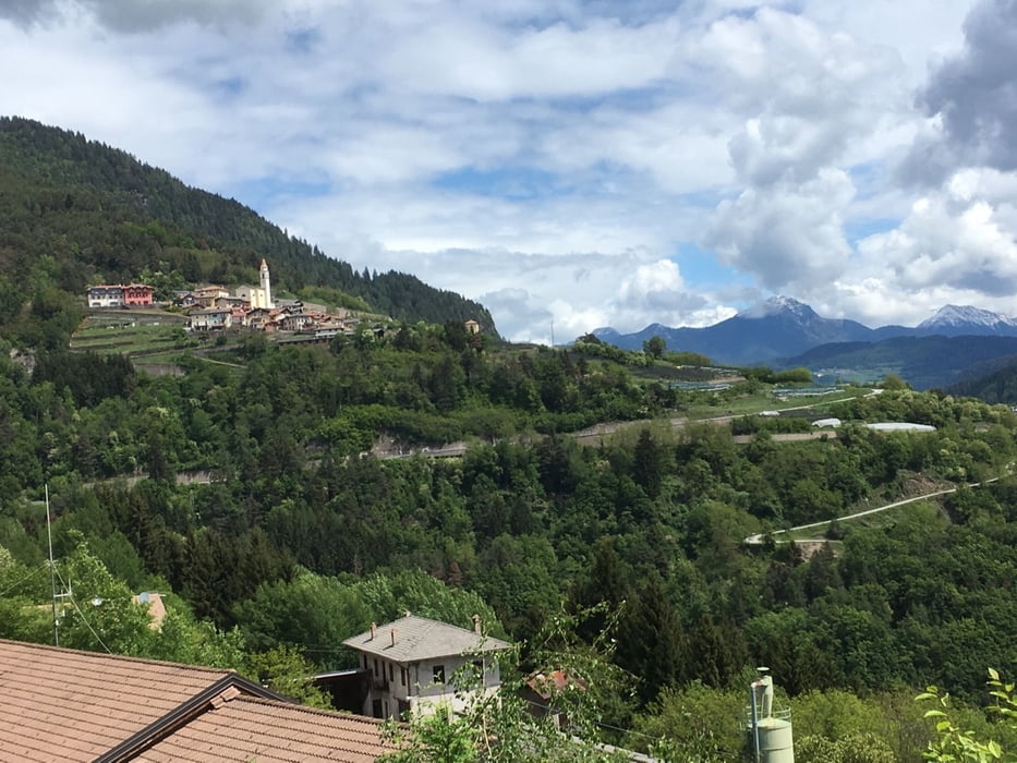
Hinunter nach Molina di Fiemme und durch das Cembratal hinaus bis nach Cembra. Jetzt beginnt die steile Auffahrt mit teilweise 15 % zum Lago Santo.
Wieder zurück nach Cembra und über Palú hinunter nach San Michele All’Adige und über Feldwege zurück nach Neumarkt. Wer will kann von San Michele auch den Etschtalradweg benützen.
Further information at
https://www.suedtirol.info/deGalerie du tour
Carte du tour et altitude
Minimum height 199 m
Maximum height 1189 m
More about the tour author
|
|
Califan |
Commentaires

https://www.google.com/maps/place/Sportarena+Unterland/@46.3205344,11.269003,18z/data=!4m13!1m7!3m6!1s0x12cdf5450348b727:0x3c017283ac41265d!2s18038+Sanremo,+Imperia!3b1!8m2!3d43.8159671!4d7.7760567!3m4!1s0x478280e5d5cfcd83:0xca6ed6d691cb5868!8m2!3d46.3197749!4d11.2698936
Tracks GPS
Trackpoints-
GPX / Garmin Map Source (gpx) download
-
TCX / Garmin Training Center® (tcx) download
-
CRS / Garmin Training Center® (crs) download
-
Google Earth (kml) download
-
G7ToWin (g7t) download
-
TTQV (trk) download
-
Overlay (ovl) download
-
Fugawi (txt) download
-
Kompass (DAV) Track (tk) download
-
Feuille de tours (pdf) download
-
Original file of the author (gpx) download
More about the tour author
|
|
Califan |
Add to my favorites
Remove from my favorites
Edit tags
Open track
My score
Rate