


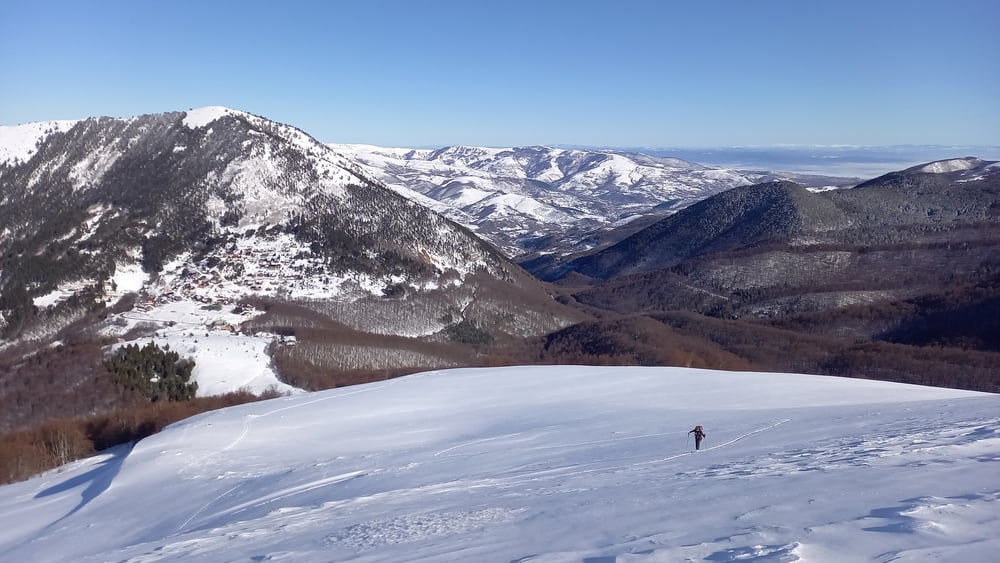
Ein kurzes Stück der zugeschneiten Fahrstraße folgen, dann leicht links über schöne Böden hinauf. Über den rücken weiter bis zu kleiner Einsattelung. Hier rechts leicht fallend in das Becken queren, dabei auf Schneebrettgefahr achten. Aus dem Becken entweder über den Sommerweg oder angenehmer und sicherer nach Westen durch die Mulde ansteigen bis zum Gipfelgrat. Über diesen, bei hartem Schnee zuletzt unangenehm bis zum Gipfel. Abfahrt wie Aufstieg. Wer noch Energie hat, könnte vom Gipfel auch noch eine Firn?abfahrt nach Süden mit anschließendem Wiederaufstieg dranhängen
Galerie du tour
Carte du tour et altitude
Minimum height 1540 m
Maximum height 2593 m
More about the tour author

|
Gi |
Commentaires

Von der Passhöhe Prevalla hinauf zum empfehlenswereten Hotel Krojet. Kurz dahinter Parkplatz. Bei schlechtem Straßenzustand an der Passhöhe parken.
Tracks GPS
Trackpoints-
GPX / Garmin Map Source (gpx) download
-
TCX / Garmin Training Center® (tcx) download
-
CRS / Garmin Training Center® (crs) download
-
Google Earth (kml) download
-
G7ToWin (g7t) download
-
TTQV (trk) download
-
Overlay (ovl) download
-
Fugawi (txt) download
-
Kompass (DAV) Track (tk) download
-
Feuille de tours (pdf) download
-
Original file of the author (gpx) download
More about the tour author
|
|
Gi |
Add to my favorites
Remove from my favorites
Edit tags
Open track
My score
Rate