


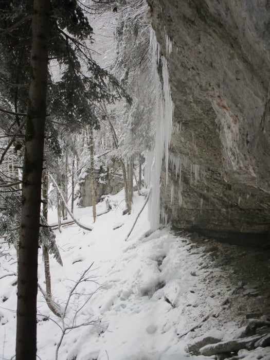
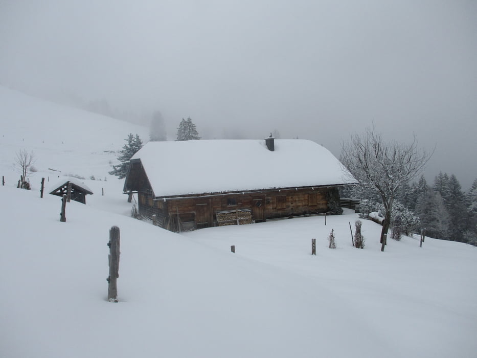
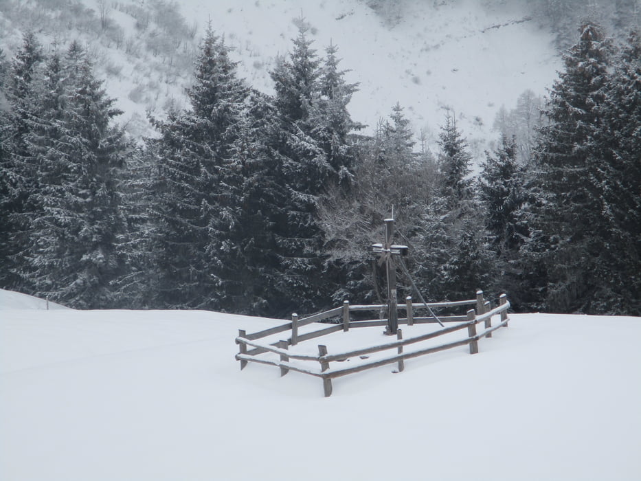
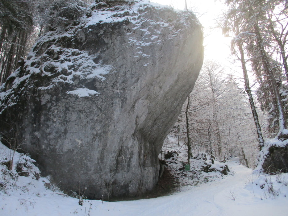
Start direkt beim Satzstein in Hintersee. Man nimmt den Weg, der direkt unterm Stein hindurchführt. Auf der Forststraße aufwärts bis rechts die Beschilderung zur Ladenbergalm weist. Entlang des Ladenbaches weiter zur Forststraße. Entweder auf dieser oder den Sommerweg hinauf zur Ladenbergalm. Kurzer Abstecher zur Hanslkirche möglich. Von der Alm weiter hinauf und südwärts zum Sattel. Jetzt entlang der Flanke des Sattelköpfel und Bergköpfel leicht abwärts zur Bergalm. Von der Alm geht es nordwärts entlang des Almweges hinunter zum Parkplatz.
Galerie du tour
Carte du tour et altitude
Minimum height 808 m
Maximum height 1331 m

Commentaires

Mit dem Auto nach Hintersee, vor der Friedhofsmauer rechts abbiegen und bis zum Parkplatz beim auffälligen Satzstein fahren.
Tracks GPS
Trackpoints-
GPX / Garmin Map Source (gpx) download
-
TCX / Garmin Training Center® (tcx) download
-
CRS / Garmin Training Center® (crs) download
-
Google Earth (kml) download
-
G7ToWin (g7t) download
-
TTQV (trk) download
-
Overlay (ovl) download
-
Fugawi (txt) download
-
Kompass (DAV) Track (tk) download
-
Feuille de tours (pdf) download
-
Original file of the author (gpx) download
Add to my favorites
Remove from my favorites
Edit tags
Open track
My score
Rate