


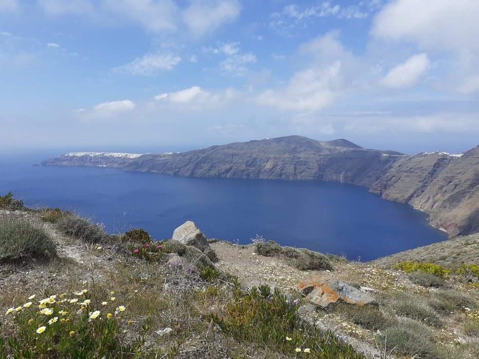
Vom Busbahnhof vorbei am Prähistorischen Museum hinauf zur Hauptpromenade. Entlang der Gassen kommen wir zur Seilbahn-Station und weiter in den Vorort Firastefani.Immer entlang der Caldera nach Imerovigli. Hier ist auch der höchste Punkt der Wanderung erreicht. Ein kleiner Bergrücken wird rechts umgangen und dann geht es hinunter zur Straße. Ein kleiner Kiosk am lädt zu einer Pause ein, bevor es wieder hinauf zur nächsten Kapelle geht.
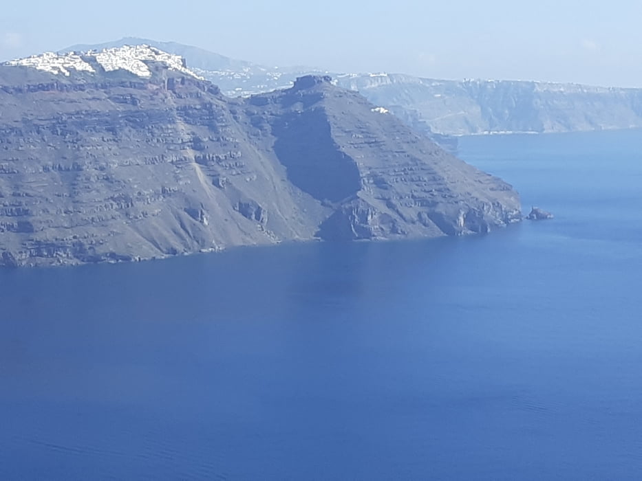
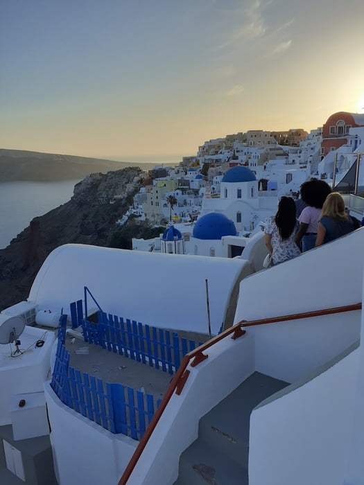
Hier bietet sich ein fantastischer Rundblick auf die zurückgelegte Strecke bzw. über die gesamte Insel an. Oia wird erreicht, der neue Teil der Stadt glänzt durch Marmorwege ehe der alte Teil zur Besichtigung einlädt.
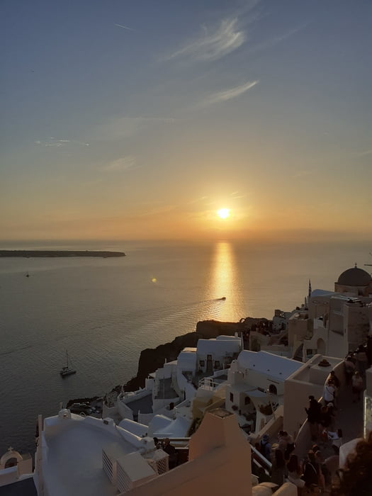
Ein Musspunkt für viele Besucher ist der Sonnenuntergang in Oia!
Galerie du tour
Carte du tour et altitude
Minimum height 132 m
Maximum height 363 m

Commentaires

Tracks GPS
Trackpoints-
GPX / Garmin Map Source (gpx) download
-
TCX / Garmin Training Center® (tcx) download
-
CRS / Garmin Training Center® (crs) download
-
Google Earth (kml) download
-
G7ToWin (g7t) download
-
TTQV (trk) download
-
Overlay (ovl) download
-
Fugawi (txt) download
-
Kompass (DAV) Track (tk) download
-
Feuille de tours (pdf) download
-
Original file of the author (gpx) download
Add to my favorites
Remove from my favorites
Edit tags
Open track
My score
Rate