Login

Login oublié ?

Cookies have to be accepted!
Your browser's cookie functionality is disabled. Please enable this functionality.

Not a member yet?

Register now
Login

Available for registred users only

Log in to use this feature.

Login oublié ?

Cookies have to be accepted!
Your browser's cookie functionality is disabled. Please enable this functionality.

Not a member yet?

Register now
Filter
Catégories
Advanced filters
  • Longueur (km)
  • Altimètre
Enregistrer le filtre Reset filter

TrackRank

QRCode

Technical data

Longueur9,9 km Altimètre614 m Way down603 m Durée05:00 h:m Date26.02.2023
Evaluations Author Paysage Aspect amusement Condition Technique

Statistiques

200 Vues Evaluations 7 Téléchargements Moyenne
Rate
  • Feuille de tours
  • Arrivée
  • Téléchargements
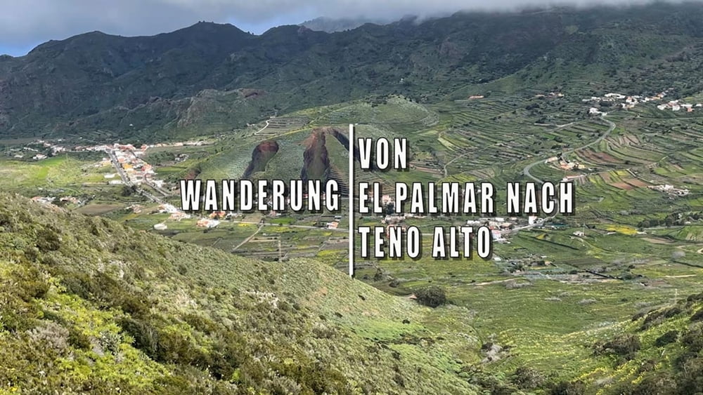
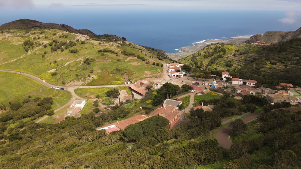
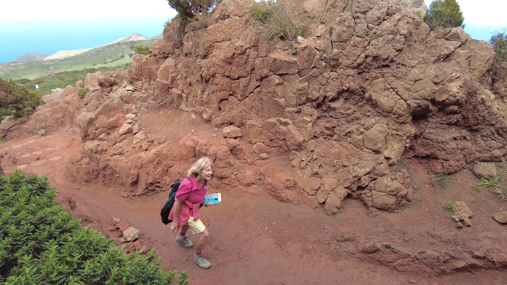
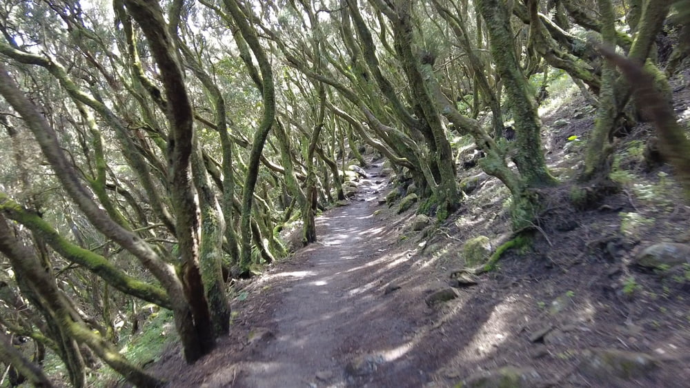
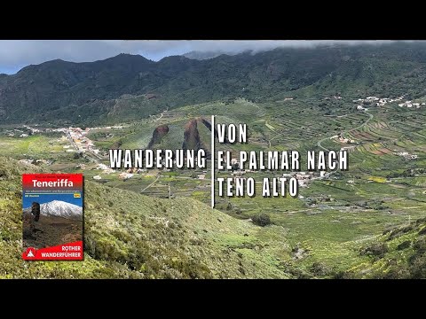
Vom Ortsrand El Palmar startet die Wanderung hinauf zum Cumbre de Baracan. Weideflächen, Terrassenfelder und einzelne verstreute Weiler charakterisieren die karge Hochflächen von Teno Alto. Das Dorf gehört zu den abgeschiedesten Flecken der Insel. Glücklich der, der die raue Schönheit dieser häufig windgepeitschten, wolkenumhüllte Landschaft bei Sonnenschein erleben darf. Vom Mirador Altos de Baracan geht der Abstieg dann wieder nach El Palmar zurück.

Galerie du tour

Carte du tour et altitude

  • Open Street Map
  • Google
Minimum height 530 m Maximum height 1003 m Vue de détail

More about the tour author

schleidy
Member since 2013

Send private message

Commentaires

Tracks GPS

Trackpoints
  • GPX / Garmin Map Source (gpx) download
  • TCX / Garmin Training Center® (tcx) download
  • CRS / Garmin Training Center® (crs) download
  • Google Earth (kml) download
  • G7ToWin (g7t) download
  • TTQV (trk) download
  • Overlay (ovl) download
  • Fugawi (txt) download
  • Kompass (DAV) Track (tk) download
  • Feuille de tours (pdf) download
  • Original file of the author (gpx) download

More about the tour author

schleidy
Member since 2013

Send private message
Share track
Add to my favorites
Remove from my favorites
Edit tags
My score
Rate
Tour: Teneriffa: Wanderung von El Palmar nach Teno Alto
Cat.: Randonnées
Longueur: 9,9 km
Evaluated on:
Durée:
Day(s)
Hour(s)
Minute(s)
Evaluation: Paysage Aspect amusement Condition Technique