


Seit 2022 gibt es den Ries-Panoramaweg der in 7 Tagesetappen von jeweils ca. 20km um den Ries-Kraterrand führt. Normalerweise ist es für Wanderer gedacht. Ich bin jede Etappe mit dem MTB gefahren und dann zum Ausgangspunkt zurückgefahren und dabei versucht viel befahrene Straßen zu meiden.
https://www.geopark-ries.de/wege/riespanoramaweg/
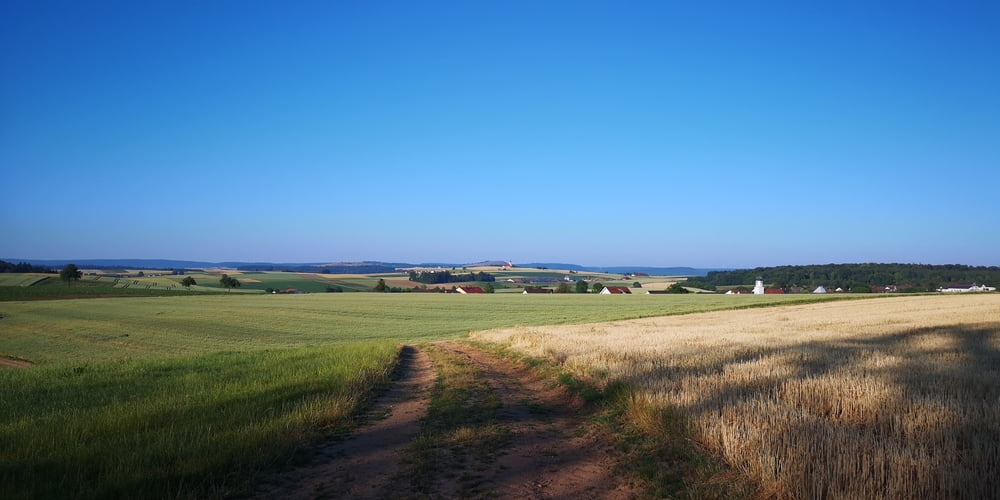
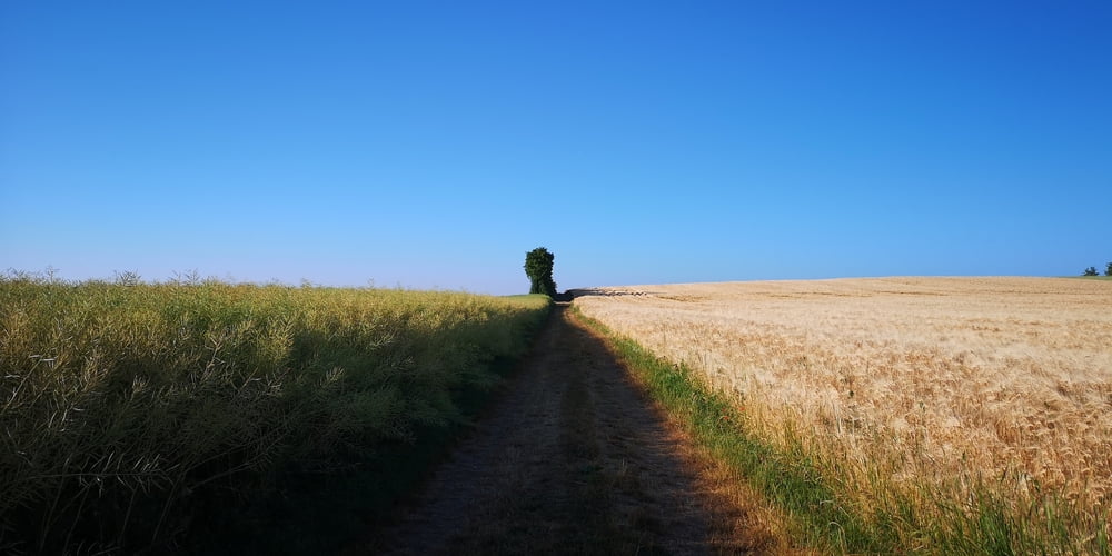
Man kann das Treckingbike nehmen. Am besten geht es jedoch mit dem MTB. Auf der Etappe 4 geht es von Raustetten nach Kirchheim am Ries.
Besonderheiten:
-
Tumhügel „Hofwiesberg“ Enslingen
-
Stockenweiher
-
Naturnahe Bademöglichkeit
-
Kreuzbergkapelle mit Kreuzweg
-
Kapellenberg mit Maria-Hilf-Kapelle
-
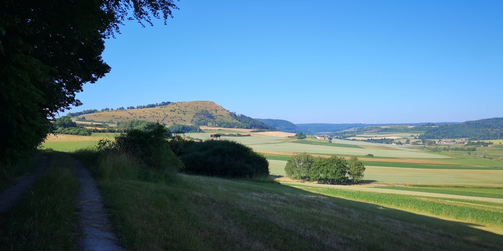
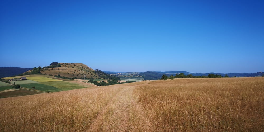
Blasienberg
Aussicht in das Ries nach Nördlingen und auf den Ipf -
Geopark Ries Infostelle am Rastplatz kurz vor Kirchheim am Ries
Auf dem Rückweg über Wallerstein musste ich einen Feldweg neben der B25 nehmen und dann neben der B29 einen Fahrradweg. So nah neben viel befahrenen Straßen ist normalerweise nicht ganz nach meinem Geschmack. Da muss ich nächstes Jahr nach einer Alternative suchen.
Etappe 1: https://www.gps-tour.info/de/touren/detail.179600.html
Etappe 2: https://www.gps-tour.info/de/touren/detail.180969.html
Etappe 3: https://www.gps-tour.info/de/touren/detail.181118.html
Etappe 4: https://www.gps-tour.info/de/touren/detail.181193.html
Etappe 5: https://www.gps-tour.info/de/touren/detail.181251.html
Etappe 6: https://www.gps-tour.info/de/touren/detail.181056.html
Etappe 7: https://www.gps-tour.info/de/touren/detail.181023.html
Galerie du tour
Carte du tour et altitude
Minimum height 435 m
Maximum height 3626 m
More about the tour author
|
|
JoachimDief |
Commentaires

Nach Raustetten fahren. In der Nähe vom Landhotel Waldeck etwas Außerhalb des kleinen Ortes befindet sich die Info-Tafel mit Rastbank wo man das Auto parken kann um die Tour zu starten.
Tracks GPS
Trackpoints-
GPX / Garmin Map Source (gpx) download
-
TCX / Garmin Training Center® (tcx) download
-
CRS / Garmin Training Center® (crs) download
-
Google Earth (kml) download
-
G7ToWin (g7t) download
-
TTQV (trk) download
-
Overlay (ovl) download
-
Fugawi (txt) download
-
Kompass (DAV) Track (tk) download
-
Feuille de tours (pdf) download
-
Original file of the author (gpx) download
More about the tour author
|
|
JoachimDief |
Add to my favorites
Remove from my favorites
Edit tags
Open track
My score
Rate