


Tour im Rekordschneejahr 2023. In normalen Jahren ähnliche Verhältnisse schon 2-4 wochen früher.
Mammoth bietet eine endlose Zahl von Abfahrten für den ganzen Winter. Von Tree Skiing im Powder bis hin zu steilsten Rinnen. Zudem ist es die schneereichste Gegend der Sierra, da hier ein etwas niedriger Durchlass ist, der die Schneewolken konzentriert. Das Skigebiet ist bis weit ins Frühjahr hinein geöffnet. Die Skitouren können hier knapp hinter der Stadtgrenze beginnen.
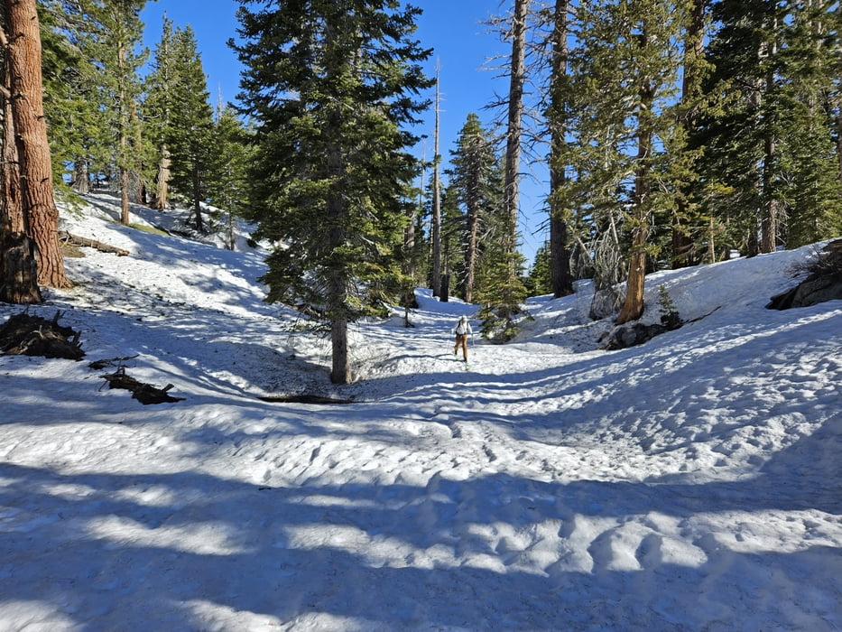
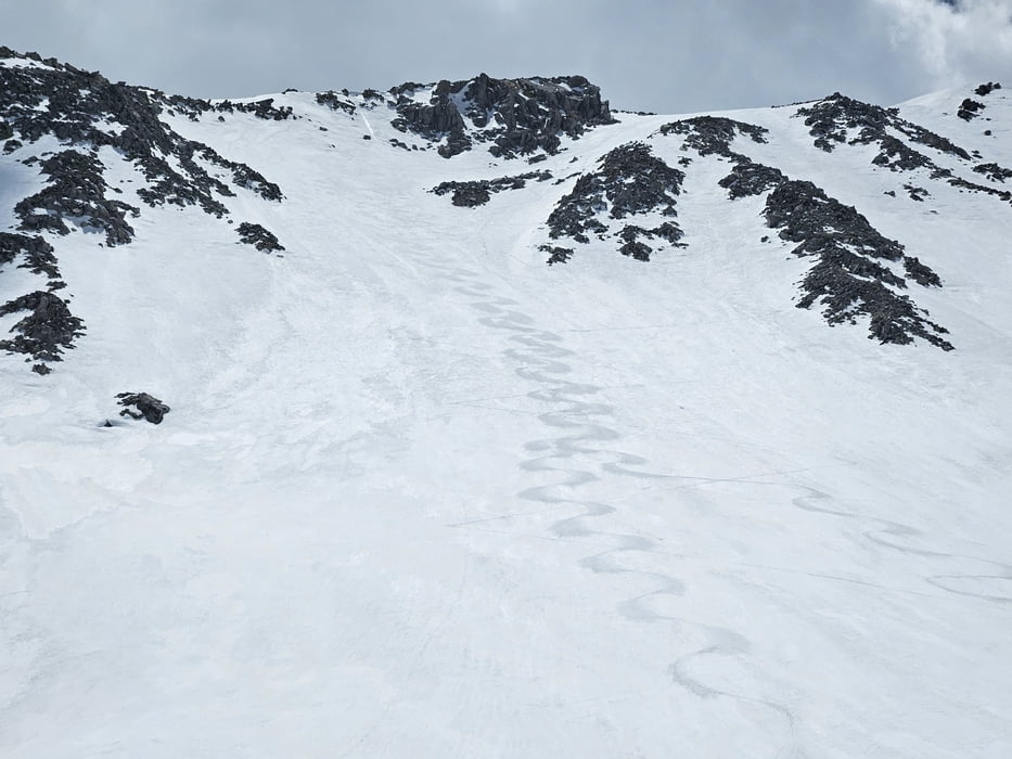
Vom Parkplatz zunächst flach zum motorcycle track, dann durch den Hochwald , immer links haltend empor zu den Sherwin Lakes, rechts vorbei und hinauf zum Lost Lake. Hier das Tal rechterhand empor und die schönste Stelle zum Durchstieg aus dem schließenden Kar suchen. Auf dem Grat noch ein paar Meter zu einem unbedeutenden Gipfel.
Abfahrt wie Aufstieg
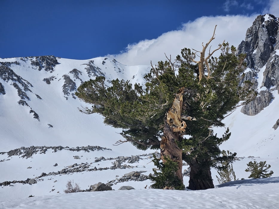
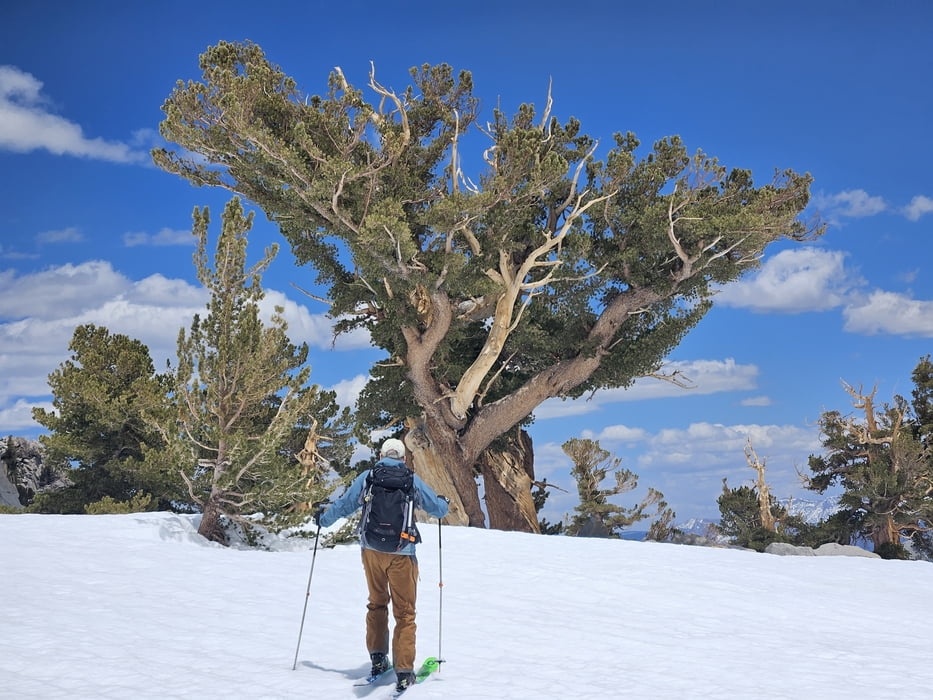
Galerie du tour
Carte du tour et altitude
Minimum height 2344 m
Maximum height 3487 m
More about the tour author

|
Gi |
Commentaires

In Mammoth über die Old Mammorh Road auf die Sherwin Creek Road bis zur Wintersperre
Tracks GPS
Trackpoints-
GPX / Garmin Map Source (gpx) download
-
TCX / Garmin Training Center® (tcx) download
-
CRS / Garmin Training Center® (crs) download
-
Google Earth (kml) download
-
G7ToWin (g7t) download
-
TTQV (trk) download
-
Overlay (ovl) download
-
Fugawi (txt) download
-
Kompass (DAV) Track (tk) download
-
Feuille de tours (pdf) download
-
Original file of the author (gpx) download
More about the tour author
|
|
Gi |
Add to my favorites
Remove from my favorites
Edit tags
Open track
My score
Rate