
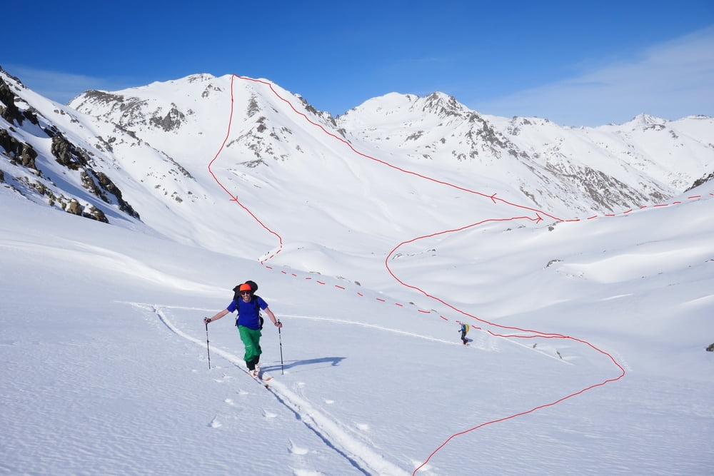

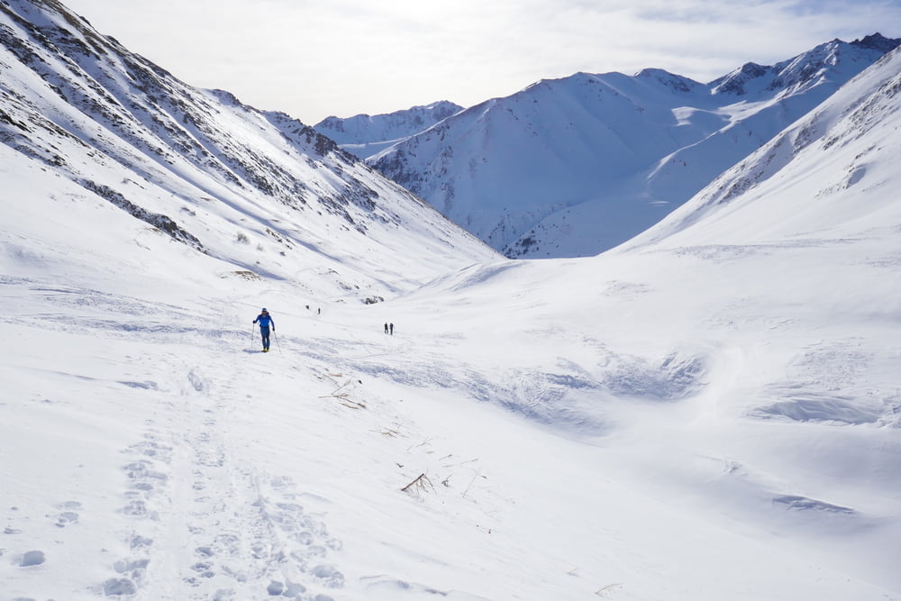
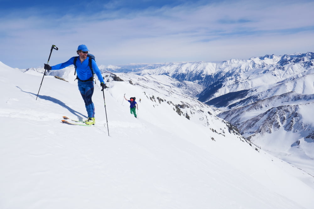
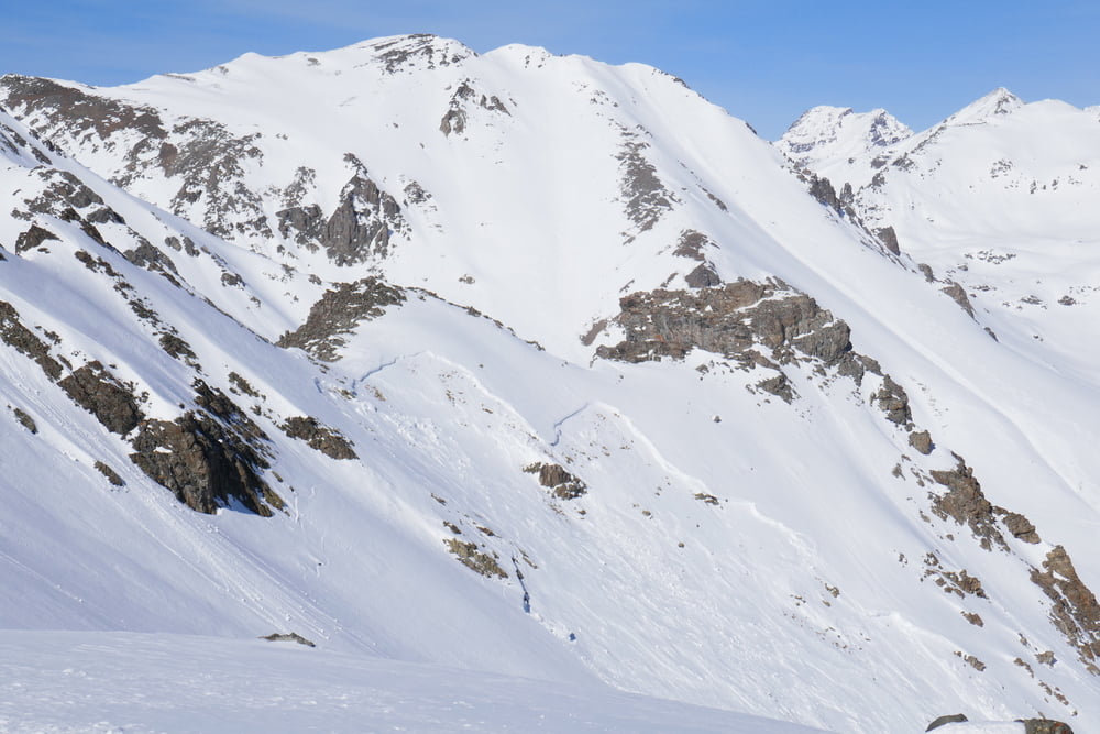
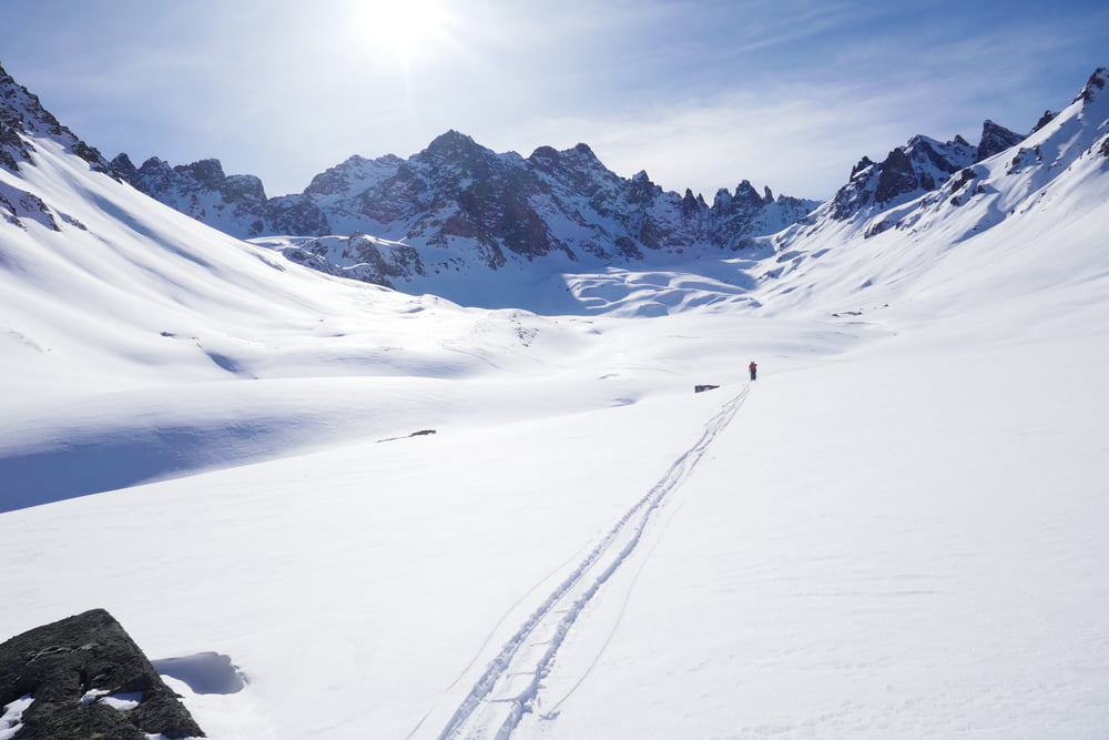
In Olgunlar dem Tal nach Norden folgen. Das Bachbett ist evtl. von Lawinen aus den NO-Flanken bedroht, dann etwas Abstand zum Talgrund lassen. Um die Kurve und weiter nach Westen. Auf 2650 m Höhe beginnt man langam den Hang zur rechten zu errkimmen und suchst sich dann den besten Weg durch die Flanke zum Gipfel. Kurz unter dem Gipfel zumehmend steil. Abfahrt wie Aufstieg oder die westlich benachbarte Flanke hinunter. In diesem Fall bietet es sich an noch das Kar auf der gegenüberliegenden Talseite mitzunehmen, von Firn auf Pulver zu wechseln. Auffellen und ins gegenüberliegende Kar unter den Karaca soweit aufsteigen wie man mag (bei uns die Schattengrenze).
Galerie du tour
Carte du tour et altitude
Minimum height 2124 m
Maximum height 3389 m
More about the tour author

|
Gi |
Commentaires

Direkt von Olgunlar starten
Tracks GPS
Trackpoints-
GPX / Garmin Map Source (gpx) download
-
TCX / Garmin Training Center® (tcx) download
-
CRS / Garmin Training Center® (crs) download
-
Google Earth (kml) download
-
G7ToWin (g7t) download
-
TTQV (trk) download
-
Overlay (ovl) download
-
Fugawi (txt) download
-
Kompass (DAV) Track (tk) download
-
Feuille de tours (pdf) download
-
Original file of the author (gpx) download
More about the tour author
|
|
Gi |
Add to my favorites
Remove from my favorites
Edit tags
Open track
My score
Rate