


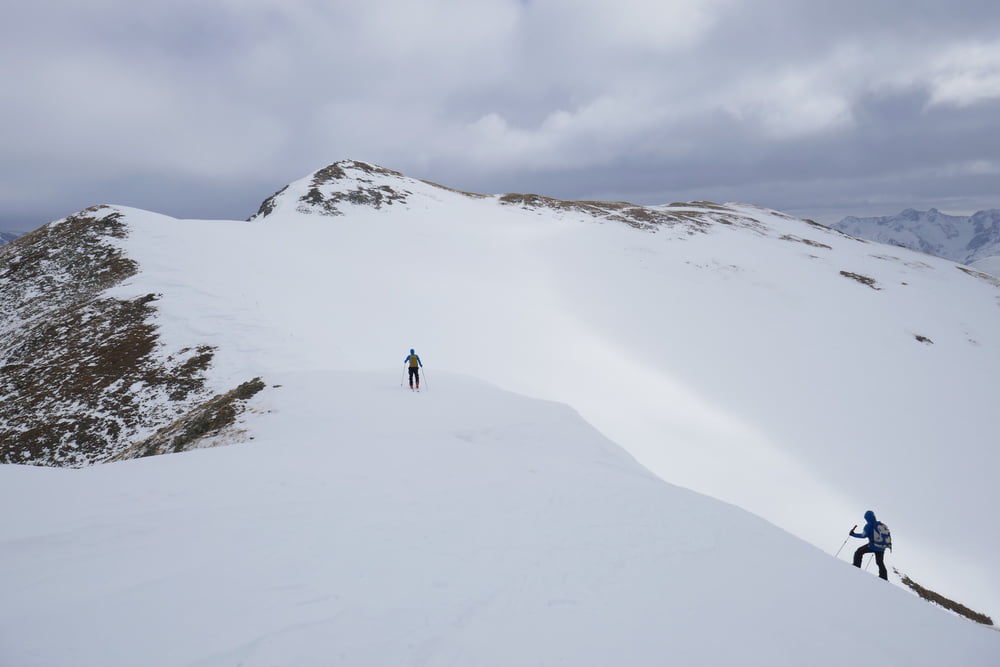
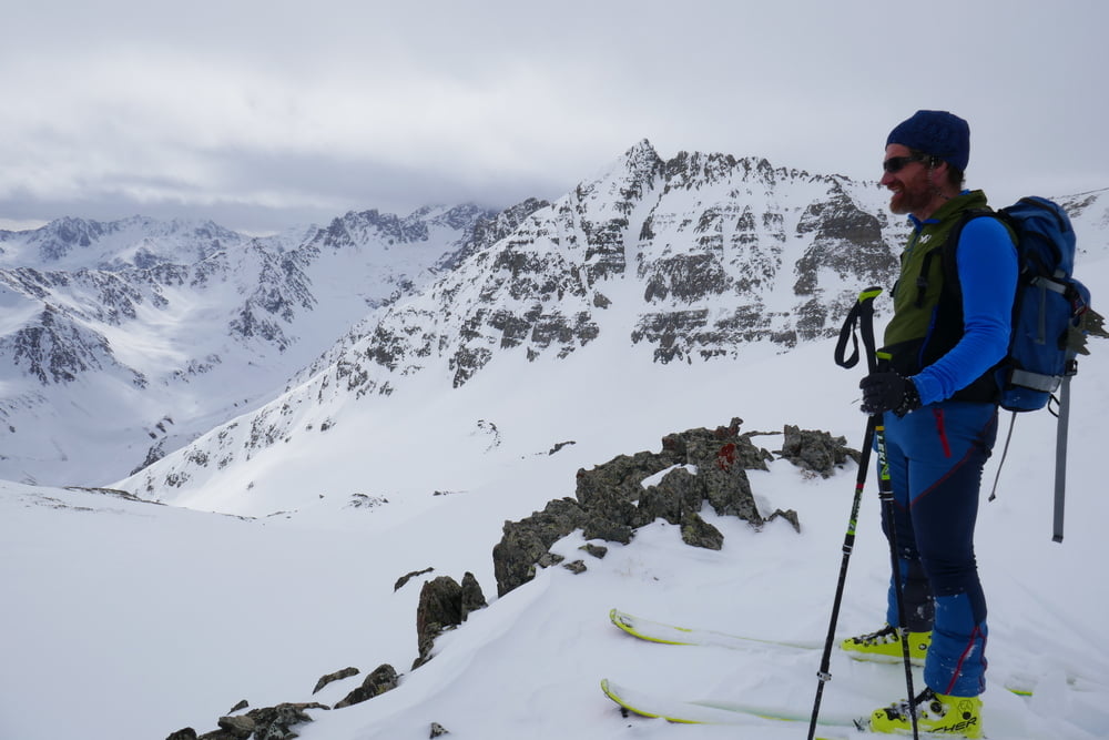
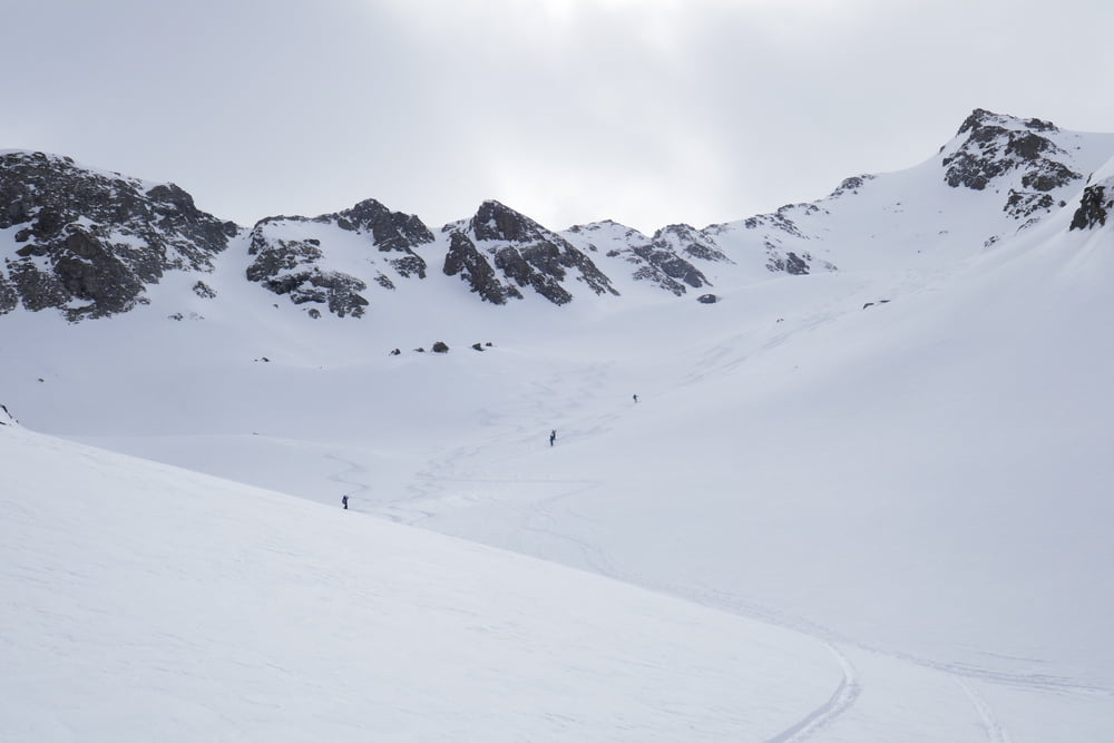
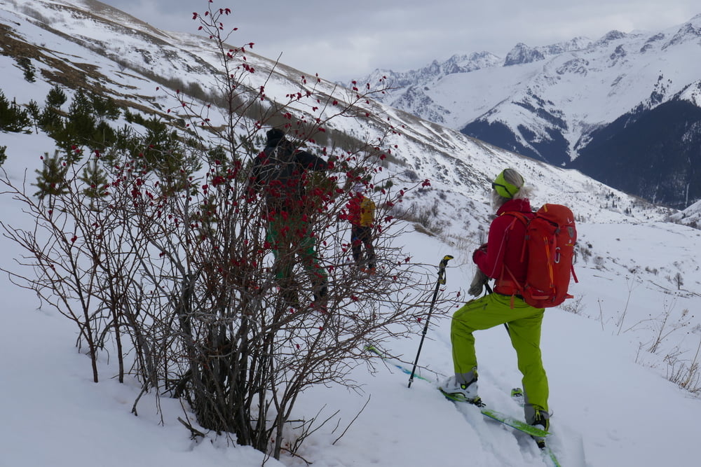
Von Olgunlar zunächst wie bei der Nateleme Tour das Bachtal nach Norden, am Linksknick eine der beiden Rinnen (wir wählten die Linke) rechts hinauf bei kontinuierlich um die 35°. Auf ca. 2850 m nach rechts queren und zum Gipfel ansteigen. Hinüber zum etwas höheren Gipfel (P3060) auf der anderen Seite der Rinne und Abfahrt nach Norden. Auf 2700 m wieder auffellen und Pulverschneekar im SW besteigen. Dann dem Bachverlauf ins Tal folgen. Achtung, auf 2300 m, wo auch eine Alternativabfahrt vom 2. Gipfel endet, nicht am Bach bleiben, sondern links, die Höhe haltend auf zugeschneitem Fahrweg bis ins dorf Köhramet. Man muss zwar einige male anschieben, bzw. die Bindung hinten öffnen, aber auffellen ist nicht nötig. Von Köhramet auf der zugeschneiten Straße nach Yaylalar und entlang der Straße zurück nach Olgunlar
Galerie du tour
Carte du tour et altitude
Minimum height 1897 m
Maximum height 3242 m
More about the tour author

|
Gi |
Commentaires

Direkt vom Quartier in Olgunlar starten
Tracks GPS
Trackpoints-
GPX / Garmin Map Source (gpx) download
-
TCX / Garmin Training Center® (tcx) download
-
CRS / Garmin Training Center® (crs) download
-
Google Earth (kml) download
-
G7ToWin (g7t) download
-
TTQV (trk) download
-
Overlay (ovl) download
-
Fugawi (txt) download
-
Kompass (DAV) Track (tk) download
-
Feuille de tours (pdf) download
-
Original file of the author (gpx) download
More about the tour author
|
|
Gi |
Add to my favorites
Remove from my favorites
Edit tags
Open track
My score
Rate