


- Rundkurs im Uhrzeigersinn.
- Start/Ziel: Rumo-Parkplatz Fussballplatz/Kirche. MH 905
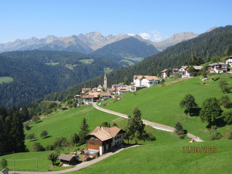
- Auf Nebenstrasse/Asfalt, kein Verkehr bis nach Proveis KM 9,2 - MH 1.460.(Gasthof, Geschäft).
- Ab KM 11,1 für ca. 200 MT. betonierte Rampe, bis 30% Steigung.
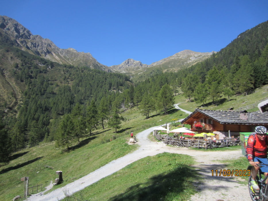
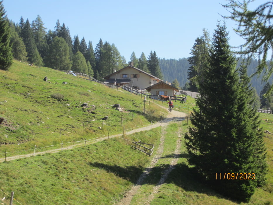
- Weiter auf mittelsteilem Forstweg bis zur bewirtschafteten "Kesse-Alm" KM 13,3 - MH 1.677.
- Weiter auf breitem Steig(3 kurze Rampen) bis zur "Malga Revo`" KM 14,10 - MH 1.727.
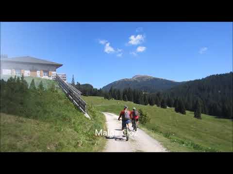
- Malga "Cloz" KM 14,73 - MH 1.717.
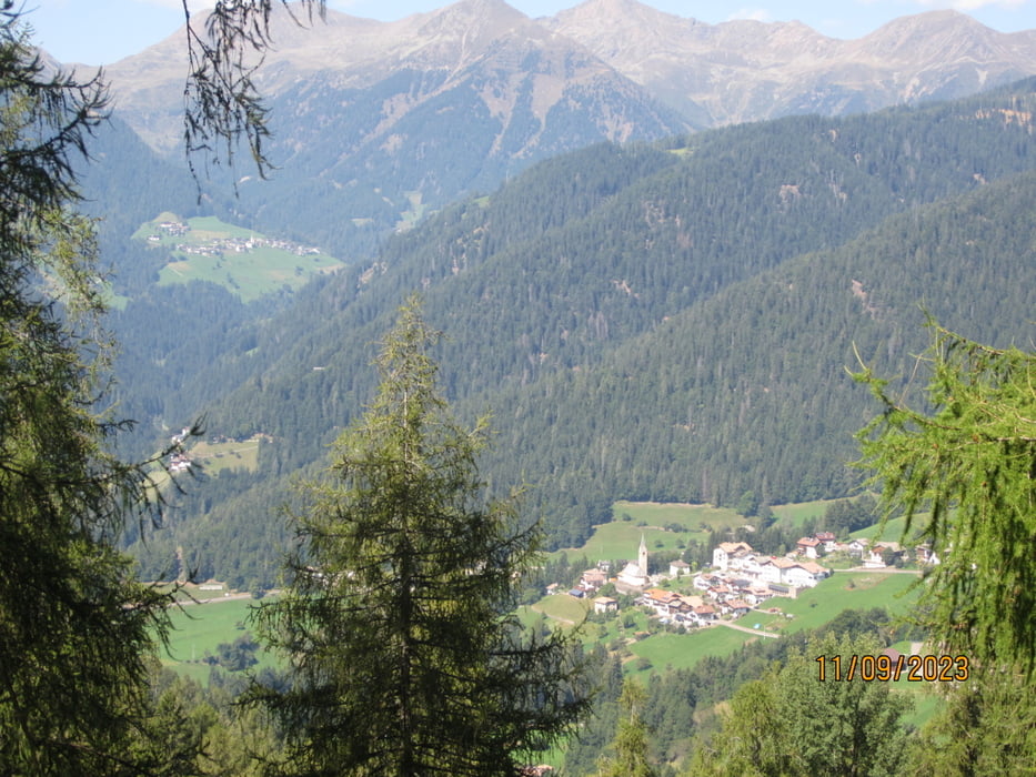
- Weiter in flowigem Auf und Ab auf Forstweg bis KM 30,9 - MH 1.220.
- Weiter auf Asfalt nach Laurein KM 32,8 - MH 1.140 (Gasthof Sonne) neben der Kirche.
- Weiter, talwärts den Bach entlang, auf einem Karrenweg S1 bis zur Einmündung KM 34,3 - MH 898 in die angenehm ansteigende Provinzstrasse(kein Verkehr) nach Rumo(Ziel) KM 38,6 - MH 934.
Galerie du tour
Carte du tour et altitude
Minimum height 902 m
Maximum height 1730 m
More about the tour author
|
|
MargesinFriedrich |
Commentaires

Tracks GPS
Trackpoints-
GPX / Garmin Map Source (gpx) download
-
TCX / Garmin Training Center® (tcx) download
-
CRS / Garmin Training Center® (crs) download
-
Google Earth (kml) download
-
G7ToWin (g7t) download
-
TTQV (trk) download
-
Overlay (ovl) download
-
Fugawi (txt) download
-
Kompass (DAV) Track (tk) download
-
Feuille de tours (pdf) download
-
Original file of the author (gpx) download
More about the tour author
|
|
MargesinFriedrich |
Add to my favorites
Remove from my favorites
Edit tags
Open track
My score
Rate