Login

Login oublié ?

Cookies have to be accepted!
Your browser's cookie functionality is disabled. Please enable this functionality.

Not a member yet?

Register now
Login

Available for registred users only

Log in to use this feature.

Login oublié ?

Cookies have to be accepted!
Your browser's cookie functionality is disabled. Please enable this functionality.

Not a member yet?

Register now
Filter
Catégories
Advanced filters
  • Longueur (km)
  • Altimètre
Enregistrer le filtre Reset filter

TrackRank

QRCode

Technical data

Longueur141,3 km Altimètre2515 m Way down2446 m Durée02:30 h:m Date01.10.2023
Evaluations Author Paysage Aspect amusement Condition Technique

Statistiques

378 Vues Evaluations 2 Téléchargements Moyenne
Rate
  • Feuille de tours
  • Arrivée
  • Téléchargements
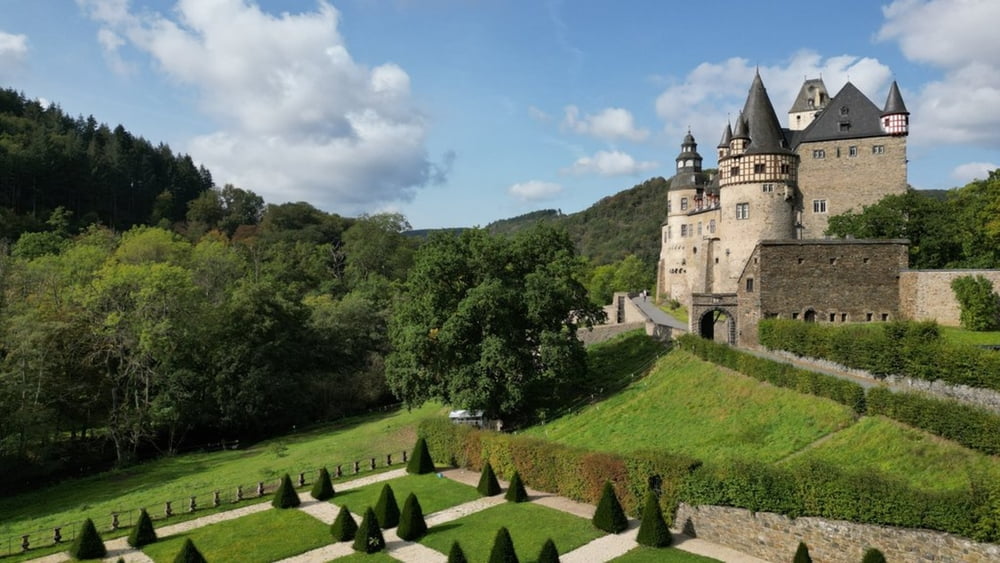
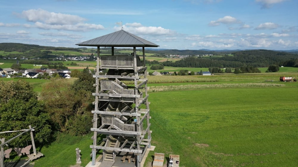
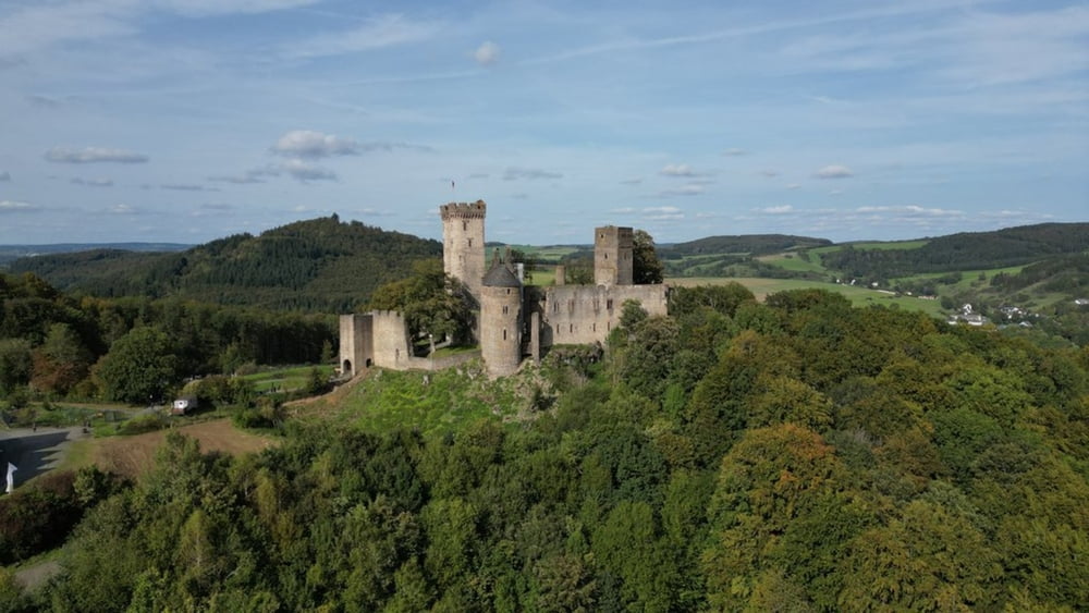
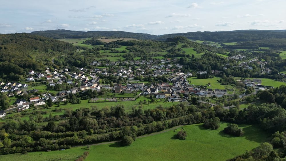
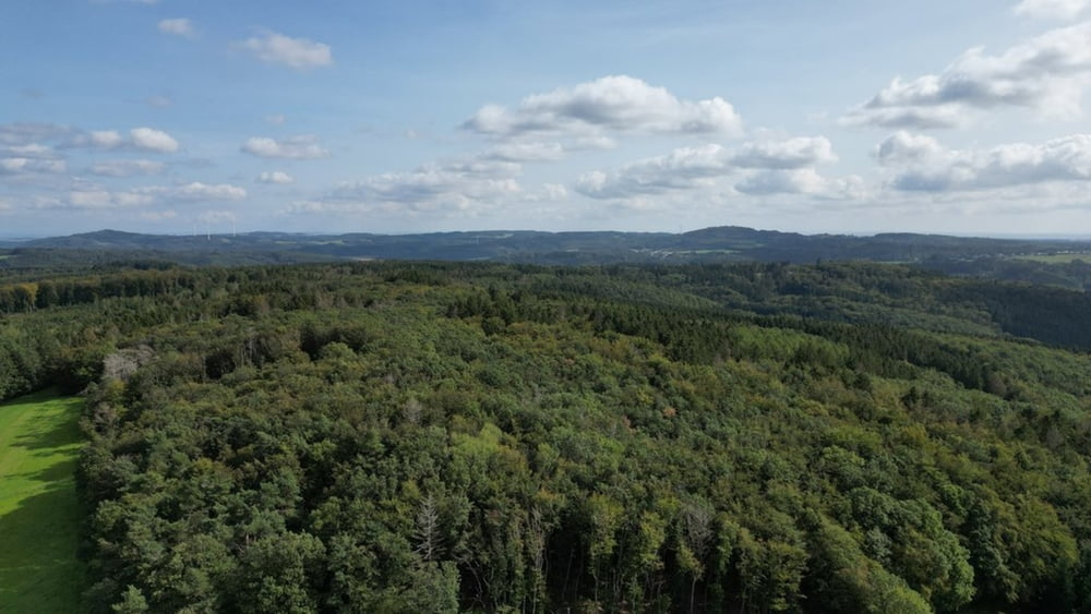
Mooi ritje door de Eifel richting de Nordschleiffe.
Geniet van de natuur, de historische dorpjes en stadjes, laat je vervoeren door de mystieke kastelen.
Onderweg zijn er verschillende mogelijkheden tot eten en drinken.

Galerie du tour

Carte du tour et altitude

  • Open Street Map
  • Google
Minimum height 217 m Maximum height 573 m Vue de détail

More about the tour author

ikkel
Member since 2009

Send private message

Commentaires

Tracks GPS

Trackpoints
  • GPX / Garmin Map Source (gpx) download
  • TCX / Garmin Training Center® (tcx) download
  • CRS / Garmin Training Center® (crs) download
  • Google Earth (kml) download
  • G7ToWin (g7t) download
  • TTQV (trk) download
  • Overlay (ovl) download
  • Fugawi (txt) download
  • Kompass (DAV) Track (tk) download
  • Feuille de tours (pdf) download
  • Original file of the author (gpx) download

More about the tour author

ikkel
Member since 2009

Send private message
Share track
Add to my favorites
Remove from my favorites
Edit tags
My score
Rate
Tour: Gerolstein - Mayen
Cat.: Moto
Longueur: 141,3 km
Evaluated on:
Durée:
Day(s)
Hour(s)
Minute(s)
Evaluation: Paysage Aspect amusement Condition Technique