

- Rundkurs im Uhrzeigersinn.
- Start/Ziel: Algund/Marling.
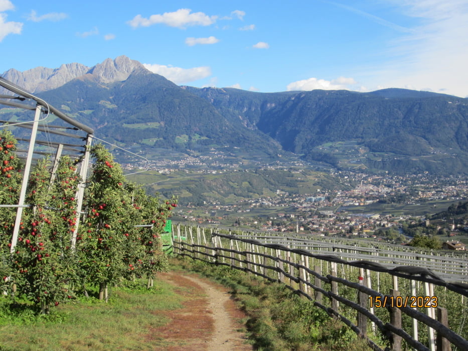
- Auf dem Radweg nach Rabland. Weiter auf Nebenwegen nach Partschins. Ab dem Dorfzentrum für ca. 1 KM. steile Auffart auf Asfalt.
- Weiter auf angenehm ansteigender verkehrsarmer Strasse zum Gasthof Greiter (Restaurant zum Zeitpunkt nur für Hausgäste geöffnet)??
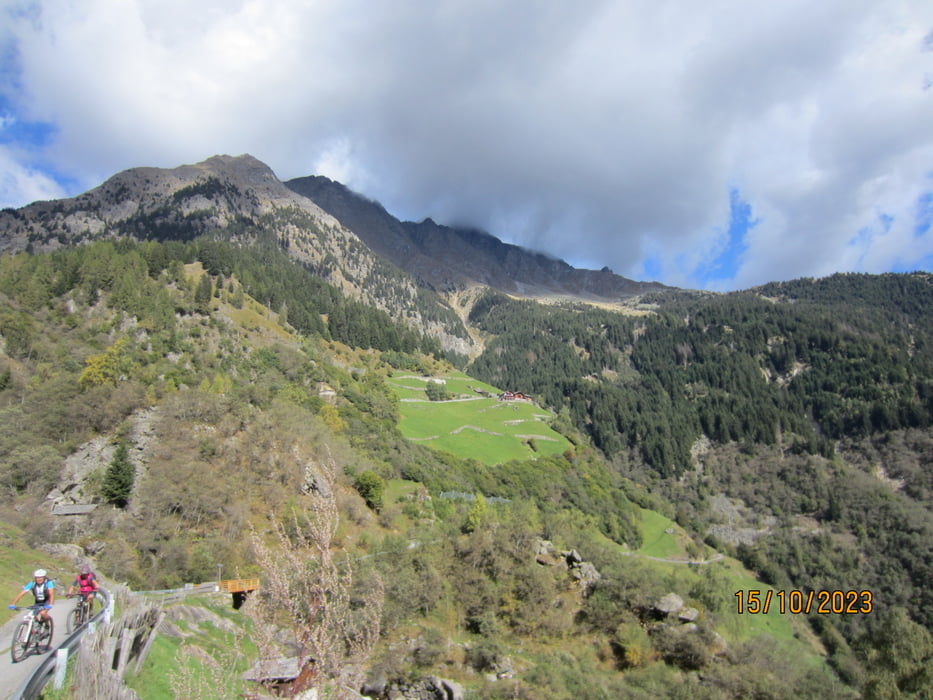
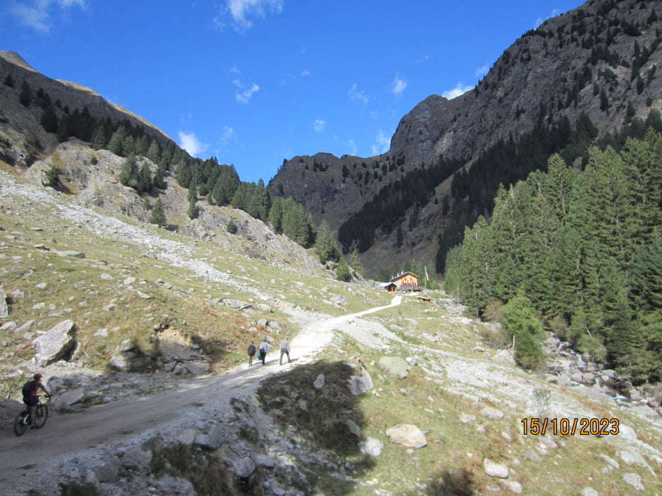
- Kurze Strecke talwärts, dann weiter bis zum Gasthof "Nasereit" (super Küche). Im Winter nur Sonntags geöffnet. Letztes Teilstück auf Schotterweg mit gutem Untergrund.
- Abfahrt bis Partschins. Weiter durch die Obstgärten nach Oberplars(Algund). Kurze Schiebepassage bis zur Einmündung in den Radweg.
- Ab Algund auf der Panoramastrasse nach Marling.
- Wir haben die Tour mit dem E-MTB gemacht.
Galerie du tour
Carte du tour et altitude
Minimum height 404 m
Maximum height 1568 m
More about the tour author
|
|
MargesinFriedrich |
Commentaires

Tracks GPS
Trackpoints-
GPX / Garmin Map Source (gpx) download
-
TCX / Garmin Training Center® (tcx) download
-
CRS / Garmin Training Center® (crs) download
-
Google Earth (kml) download
-
G7ToWin (g7t) download
-
TTQV (trk) download
-
Overlay (ovl) download
-
Fugawi (txt) download
-
Kompass (DAV) Track (tk) download
-
Feuille de tours (pdf) download
-
Original file of the author (gpx) download
More about the tour author
|
|
MargesinFriedrich |
Add to my favorites
Remove from my favorites
Edit tags
Open track
My score
Rate