Login

Login oublié ?

Cookies have to be accepted!
Your browser's cookie functionality is disabled. Please enable this functionality.

Not a member yet?

Register now
Login

Available for registred users only

Log in to use this feature.

Login oublié ?

Cookies have to be accepted!
Your browser's cookie functionality is disabled. Please enable this functionality.

Not a member yet?

Register now
Filter
Catégories
Advanced filters
  • Longueur (km)
  • Altimètre
Enregistrer le filtre Reset filter

TrackRank

QRCode

Technical data

Longueur76,0 km Altimètre1436 m Way down1084 m Durée05:19 h:m Date24.08.2013
Evaluations Author Paysage Aspect amusement Condition Technique

Statistiques

128 Vues Evaluations 0 Téléchargements Moyenne
Rate
  • Feuille de tours
  • Arrivée
  • Téléchargements
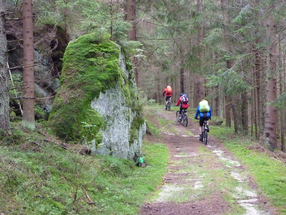
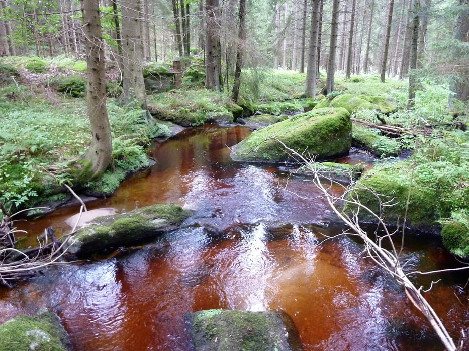
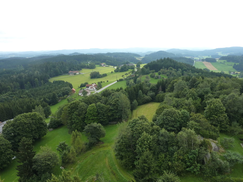
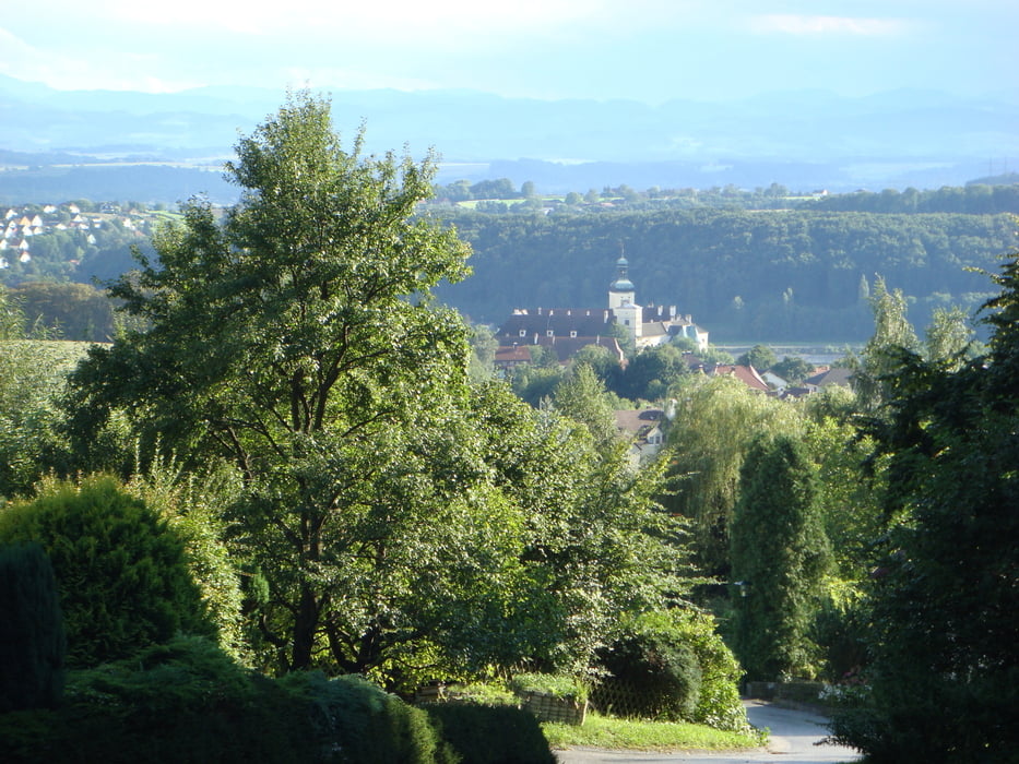
Granit-Trail Tag 1: Auf legalen Forst und Feldwegen von Gmünd nach Arbesbach. Sehr schöner Überblick über die verschiedenen Landschaften im Waldviertel. Fahrtechnisch sehr einfach. Einsam - Meditativ aber Anstrengend (ständiges auf und ab).

Galerie du tour

Carte du tour et altitude

  • Open Street Map
  • Google
Minimum height 490 m Maximum height 909 m Vue de détail

More about the tour author

ETTMAYER
Member since 2007

Send private message

Commentaires

Mit dem Zug von Wien nach Gmünd

Tracks GPS

Trackpoints
  • GPX / Garmin Map Source (gpx) download
  • TCX / Garmin Training Center® (tcx) download
  • CRS / Garmin Training Center® (crs) download
  • Google Earth (kml) download
  • G7ToWin (g7t) download
  • TTQV (trk) download
  • Overlay (ovl) download
  • Fugawi (txt) download
  • Kompass (DAV) Track (tk) download
  • Feuille de tours (pdf) download
  • Original file of the author (gpx) download

More about the tour author

ETTMAYER
Member since 2007

Send private message
Share track
Add to my favorites
Remove from my favorites
Edit tags
My score
Rate
Tour: Granit Trail: Tag 1
Cat.: Mountainbike
Longueur: 76,0 km
Evaluated on:
Durée:
Day(s)
Hour(s)
Minute(s)
Evaluation: Paysage Aspect amusement Condition Technique