


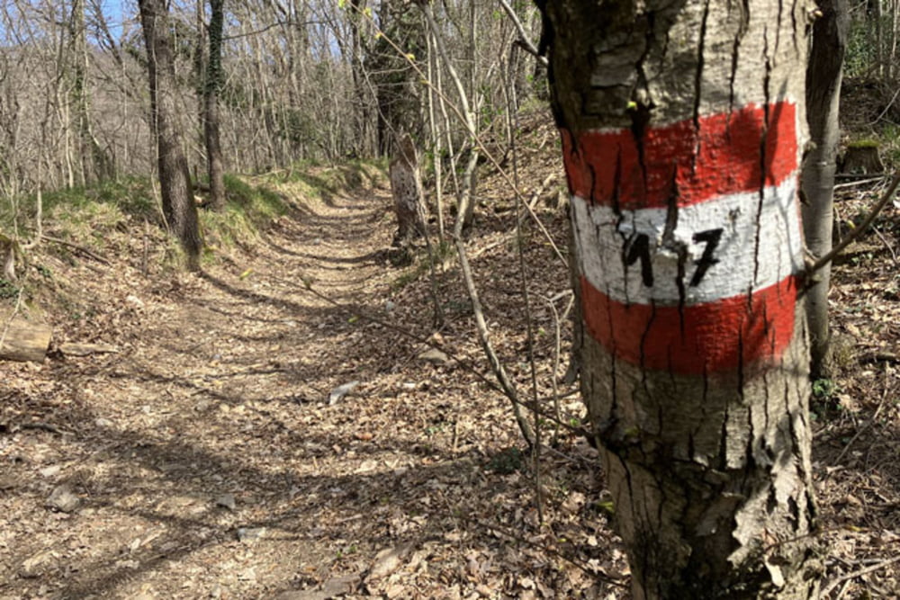
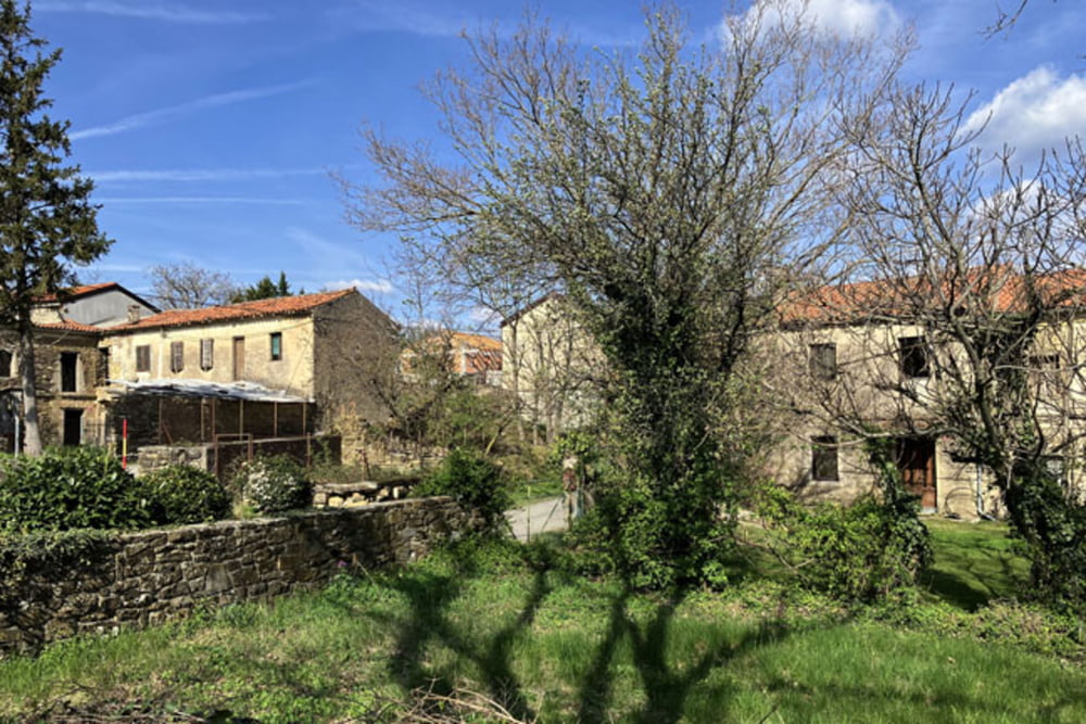
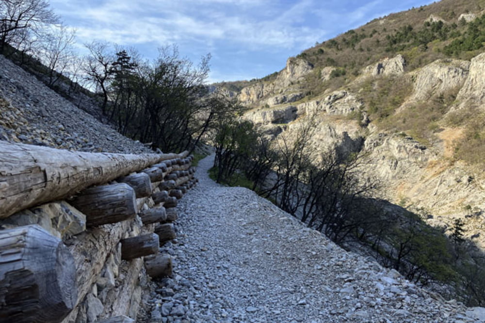
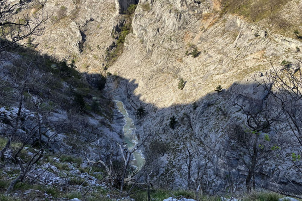
Boljunec-Ricmanje-Kolesarska steza in pešpot Giordano Cottur-Boršt-Hrvati-Draga-Pesek (kolovoz proti Pesku je precej strm in nesprijet, zato bo kolo potrebno na kraujših odsekih potiskati)-Spomenik Bazoviških junakov-Mejni prehod Lipica-Planinski dom Kokoš-Krvavi potok-Mihele-Beka (po obilnejšem deževju zna biti kolovoz proti Beki zelo razmočen!!!)-Botač-Sentiero 1-Soteska Glinščice (pešpot Sentiero 1 je namenjena pohodnikom; običajno je zelo dobro obiskana zato bodite na tem delu poti še posebej pozorni!!!)-Gornji Konec-Rifugio Mario Premuda-Boljunec
Further information at
https://mtb-itd.si/Einschränkungen
This tour has a carry or push section on 0.2 kilometers
Galerie du tour
Carte du tour et altitude
Minimum height 53 m
Maximum height 668 m
More about the tour author
|
|
andrejno |
Commentaires

Boljunec-Ricmanje-Kolesarska steza in pešpot Giordano Cottur-Boršt-Hrvati-Draga-Pesek-Spomenik Bazoviških junakov-Mejni prehod Lipica-Planinski dom Kokoš-Krvavi potok-Mihele-Beka-Botač-Sentiero 1-Soteska Glinščice-Gornji Konec-Rifugio Mario Premuda-Boljunec
Einschränkungen
This tour has a carry or push section on 0.2 kilometers
Tracks GPS
Trackpoints-
GPX / Garmin Map Source (gpx) download
-
TCX / Garmin Training Center® (tcx) download
-
CRS / Garmin Training Center® (crs) download
-
Google Earth (kml) download
-
G7ToWin (g7t) download
-
TTQV (trk) download
-
Overlay (ovl) download
-
Fugawi (txt) download
-
Kompass (DAV) Track (tk) download
-
Feuille de tours (pdf) download
-
Original file of the author (gpx) download
More about the tour author
|
|
andrejno |
Add to my favorites
Remove from my favorites
Edit tags
Open track
My score
Rate