

Ein Wanderritt nach Anregung von www.wanderreiten-im-hegau.de
Tag1:
Nachdem wir uns in der Eckersmühle (Wanderreitstation Nr. 1) Einquartiert hatten, holten wir die Pferde und machten uns auf zum Tipihof (Wanderreitstsation Nr. 3), nach eingenommenen Erfrischungen und Heu für die Pferde gings im Sonnenschein zurück.
Tag2:
Nach Reichlichem Früstück und im Nebeligen Morgen stattelten wir unsere 4 Beiner.
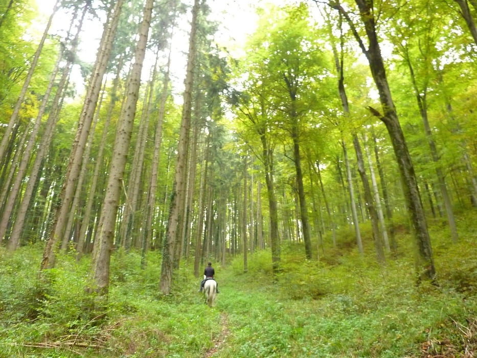
Die Strecke fürte durch Wälder, Vorbei an Seeen, über Wander- und Landwirtschaftliche Wege.
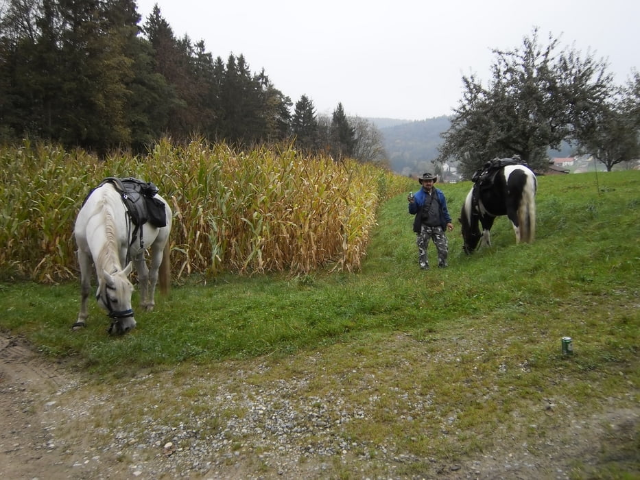
Angekommen an der Reitstation Nr. 2 (Homberg) und nach versorgen der Pferde durften wir uns
es im Reiterstüble gemütlich machen.
Tag3:
Früh machten wir uns auf den Weg zurück zur Station 1, Allmählich kam auch die Sonne durch.
Further information at
http://www.wanderreiten-im-hegau.de/Reitstationen.htmGalerie du tour
Carte du tour et altitude
Minimum height 99999 m
Maximum height -99999 m
More about the tour author
|
|
4hufe |
Commentaires

Tracks GPS
Trackpoints-
GPX / Garmin Map Source (gpx) download
-
TCX / Garmin Training Center® (tcx) download
-
CRS / Garmin Training Center® (crs) download
-
Google Earth (kml) download
-
G7ToWin (g7t) download
-
TTQV (trk) download
-
Overlay (ovl) download
-
Fugawi (txt) download
-
Kompass (DAV) Track (tk) download
-
Feuille de tours (pdf) download
-
Original file of the author (gpx) download
More about the tour author
|
|
4hufe |
Add to my favorites
Remove from my favorites
Edit tags
Open track
My score
Rate