


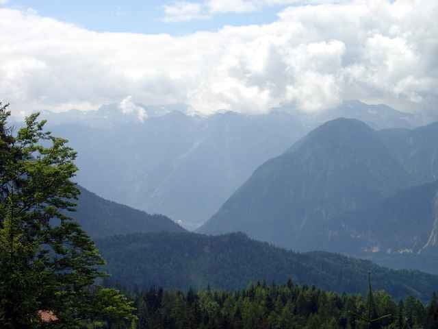
Wunderschöne, familienfreundliche Wanderung auf die Hütteneckalm (bewirtschaftet). Ausgangspunkt für diese Tour ist das Landhotel Agathawirt in St. Agatha. Der Weg führt zunächst auf einen Asphaltstrasse entlang des Großen Zlambaches und dann Richtung Halleralm hinauf nach Flohwiesen (4 km), wo auch die Asphaltstrasse endet und mit einer Forststrasse fortsetzt. Nach weiteren 3 km gelangt man zur 1232 m hoch gelegenen Hütteneckalm. Während des Anstieges wird man mit schönen Ausblicken auf den Dachsteingletscher belohnt. Der Abstieg folgt zuerst wieder der selben Route wie beim Anstieg, allerdings 1,5 km von der Hütteneckalm entfernt muss man nach rechts abzweigen, um über die Kriemoosalm und Rehkogl wieder nach St. Agatha zum Landhotel Agathawirt zurückzukehren. Wer will, kann diese Tour auch mit dem Mountainbike befahren, allerdings muss das Rad die letzten zwei-, dreihundert Mater geschoben werden, da ein Fahrverbot auf der Hütteneckalm besteht (Weidebetrieb).
Galerie du tour
Carte du tour et altitude
Minimum height 509 m
Maximum height 1222 m
More about the tour author

|
Landhotel Agathawirt |
Commentaires

über Bad Goisern nach St. Agatha, Ausgangspunkt: Landhotel Agathawirt
Tracks GPS
Trackpoints-
GPX / Garmin Map Source (gpx) download
-
TCX / Garmin Training Center® (tcx) download
-
CRS / Garmin Training Center® (crs) download
-
Google Earth (kml) download
-
G7ToWin (g7t) download
-
TTQV (trk) download
-
Overlay (ovl) download
-
Fugawi (txt) download
-
Kompass (DAV) Track (tk) download
-
Feuille de tours (pdf) download
-
Original file of the author (g7t) download
More about the tour author
|
|
Landhotel Agathawirt |
Add to my favorites
Remove from my favorites
Edit tags
Open track
My score
Rate