
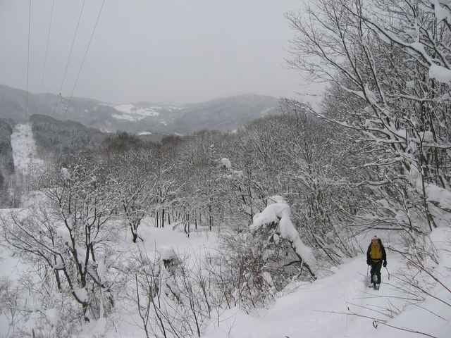

Yamagata Prefecture is in the north of Japan near the Japan Sea. It is famous for snow! This year we planned a New Year's trip, but one week before we left there was only 15cm. However it then started to snow heaviliy, and over 2 metres fell in the following two weeks. The weather wasn't so good but we had a lot of snow!
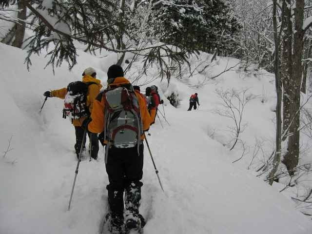
It was very light, airy snow, with no base, so snow-shoeing was very hard - fun, but very tiring.
It was very light, airy snow, with no base, so snow-shoeing was very hard - fun, but very tiring.
Further information at
http://www.polepole.co.jp/Galeria trasy
Mapa trasy i profil wysokości
Minimum height 434 m
Maximum height 640 m
More about the tour author

|
zangezur |
Komentarze

This trek was not long in length, but it took us nearly 8 hours. IT is not an established trail, so good care and experience in deep snow is required. Only does this route with a group of people, as there are many places you could get stuck!
We stayed at the very comfortable Pole Pole farm (http://www.polepole.co.jp/), renting a cottage for 10 people. All food included. The owner is also a mountain guide.
We stayed at the very comfortable Pole Pole farm (http://www.polepole.co.jp/), renting a cottage for 10 people. All food included. The owner is also a mountain guide.
GPS tracks
Trackpoints-
GPX / Garmin Map Source (gpx) download
-
TCX / Garmin Training Center® (tcx) download
-
CRS / Garmin Training Center® (crs) download
-
Google Earth (kml) download
-
G7ToWin (g7t) download
-
TTQV (trk) download
-
Overlay (ovl) download
-
Fugawi (txt) download
-
Kompass (DAV) Track (tk) download
-
Karta trasy (pdf) download
-
Original file of the author (g7t) download
More about the tour author
|
|
zangezur |
Add to my favorites
Remove from my favorites
Edit tags
Open track
My score
Rate