
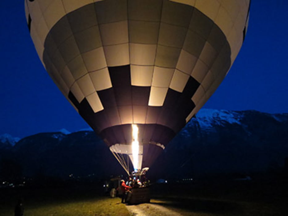

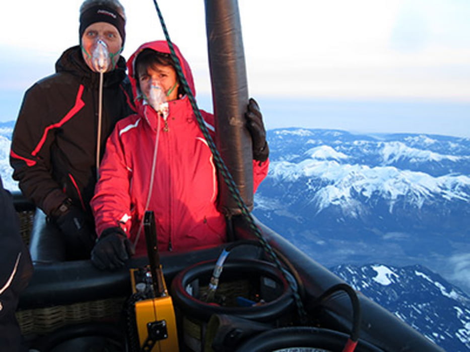
Deutschland-Italien - Alpenüberquerung im Heißluftballon
Fünfeinhalb Jahre nach der Anmeldung hat es endlich geklappt, wir sind mit einem Heißluftballon über die Alpen gefahren
Further information at
http://www.ski-web24.de/Kurzreisen/Alpenueberquerung/frame.htmGaleria trasy
Mapa trasy i profil wysokości
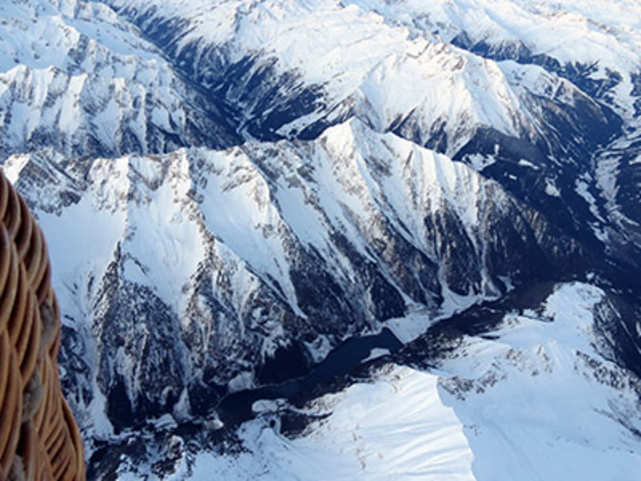
Minimum height 103 m
Maximum height 5959 m
More about the tour author
|
|
biauwe |
Komentarze
Anfahrt über die Autobahn A99:
Wenn Sie über die Autobahn kommen, nehmen Sie bitte die Ausfahrt Hohenbrunn auf der A99. Sie fahren Richtung Hohenbrunn und in Hohenbrunn links Richtung Höhenkirchen-Siegertsbrunn. In Siegertsbrunn biegen Sie bitte links ab Richtung Glonn. Der nächste Ort ist Egmating, dann erreichen Sie Glonn. In Glonn biegen Sie bitte rechts ab Richtung Rott am Inn und 4 km nach Glonn geht es rechts nach Berganger. Dort orientieren Sie sich Richtung Kirche in der Ortsmitte. Die Strasse geht dann leicht bergab, unser Büro befindet sich im ersten Bauernhof nach der Kirche auf der linken Seite - dort ist auch der Treffpunkt zur Ballonfahrt.
GPS tracks
Trackpoints-
GPX / Garmin Map Source (gpx) download
-
TCX / Garmin Training Center® (tcx) download
-
CRS / Garmin Training Center® (crs) download
-
Google Earth (kml) download
-
G7ToWin (g7t) download
-
TTQV (trk) download
-
Overlay (ovl) download
-
Fugawi (txt) download
-
Kompass (DAV) Track (tk) download
-
Karta trasy (pdf) download
-
Original file of the author (gpx) download
More about the tour author
|
|
biauwe |
Add to my favorites
Remove from my favorites
Edit tags
Open track
My score
Rate
Sehr gut.