Login

Zapomniałeś swój login?

Cookies have to be accepted!
Your browser's cookie functionality is disabled. Please enable this functionality.

Not a member yet?

Register now
Login

Available for registred users only

Log in to use this feature.

Zapomniałeś swój login?

Cookies have to be accepted!
Your browser's cookie functionality is disabled. Please enable this functionality.

Not a member yet?

Register now
Filter
Kategorie
Advanced filters
  • Długość (km)
  • Wysokość
Zapisz filtr Reset filter

TrackRank

QRCode

Technical data

Długość8,3 km Wysokość503 m Way down499 m Czas trwania02:30 h:m Data29.07.2015
Oceny Author Krajobraz Czynnik zadowolenia Kondycja Technika

Statystyka

4764 Widoki Oceny 124 Downloads / Pliki do pobrania Przeciętnie
Rate
  • Karta trasy
  • Dojazd
  • Downloads / Pliki do pobrania

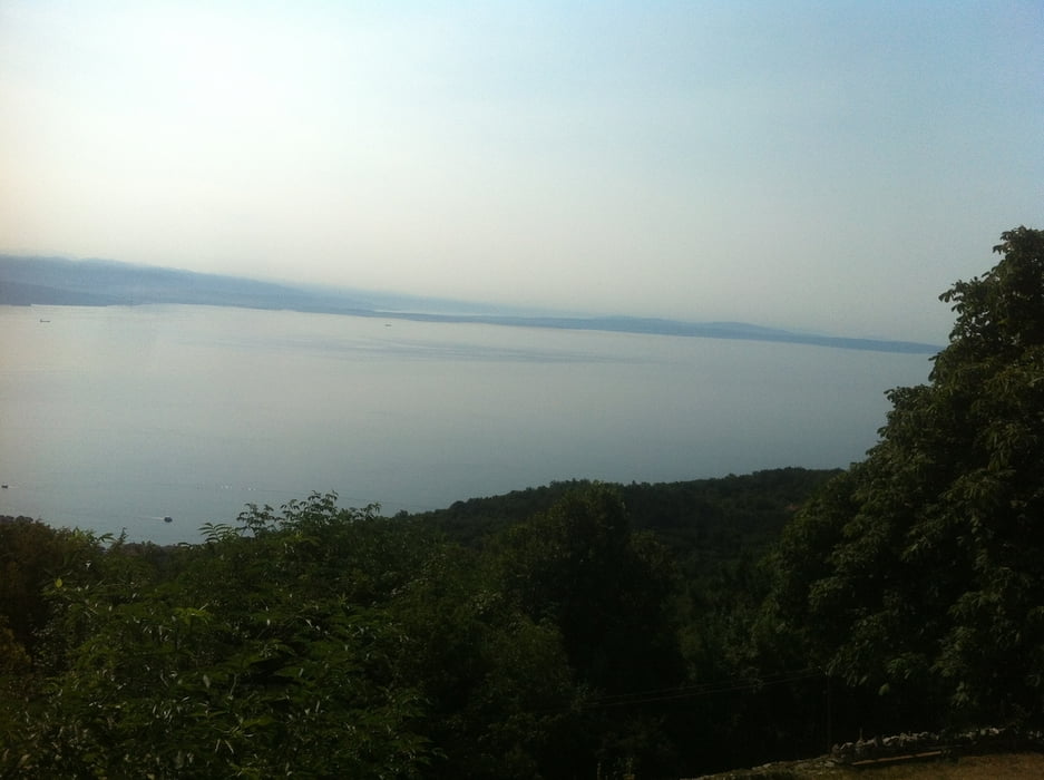
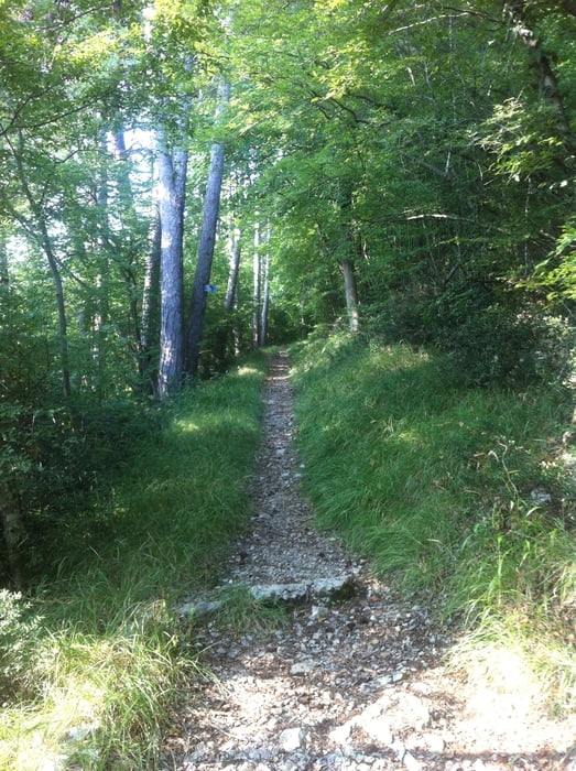
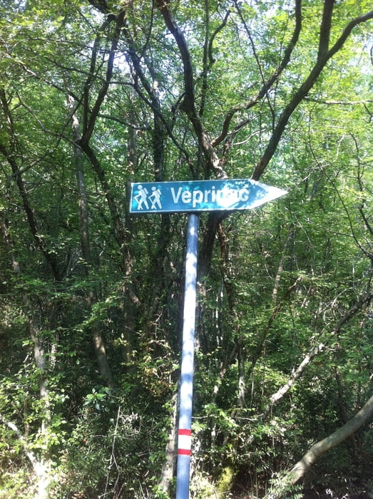
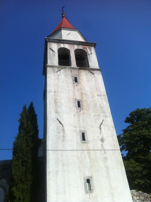
Die Wanderung startet und endet am Hotel Ambasador. Ausserhalb der Stadt werden hauptsächlich Wander- und Wirtschaftswege genutzt. Die Wege oberhalb der Stadt Opatija werden gut durch Bäume abgeschattet. Da die Tour aber auf der Ostseite des Učka Gebirges verläuft, sollte an heißen Tagen im Sommer früh gestartet werden. An der Kirche in Veprinac ist eine Wasserstelle.


Galeria trasy

Mapa trasy i profil wysokości

  • Open Street Map
  • Google
Minimum height 15 m Maximum height 514 m Widok szczegółowy

More about the tour author

Arcus
Member since 2009

Send private message

Komentarze

GPS tracks

Trackpoints
  • GPX / Garmin Map Source (gpx) download
  • TCX / Garmin Training Center® (tcx) download
  • CRS / Garmin Training Center® (crs) download
  • Google Earth (kml) download
  • G7ToWin (g7t) download
  • TTQV (trk) download
  • Overlay (ovl) download
  • Fugawi (txt) download
  • Kompass (DAV) Track (tk) download
  • Karta trasy (pdf) download
  • Original file of the author (gpx) download

More about the tour author

Arcus
Member since 2009

Send private message
Share track
Add to my favorites
Remove from my favorites
Edit tags
My score
Rate
Trasa: Rundwanderung oberhalb Opatija
Rodzaj: Wędrówki
Długość: 8,3 km
Evaluated on:
Czas trwania:
Day(s)
Hour(s)
Minute(s)
Ocena: Krajobraz Czynnik zadowolenia Kondycja Technika