


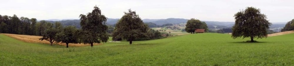
Die Tour ist zu 80 % auf offenem Feld und kann auch im Winterthur gelaufen werden. Es geht oft am Fluss entlang un hat nicht viel Steigung. Einmal am Eschebüel vorbei hat man eine wunderbare, weite Aussicht.
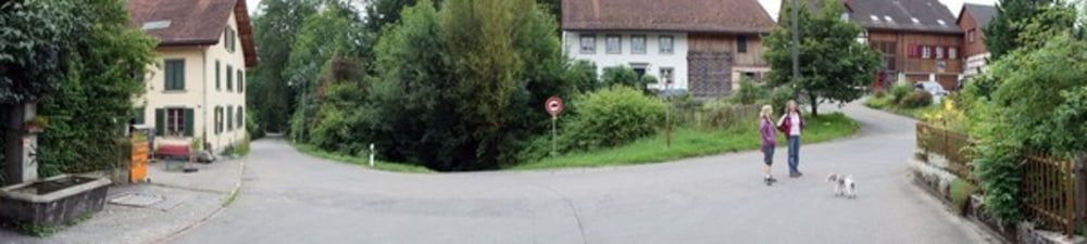
Über kurze Strecken führt die Strecke an Autostrassen vorbei, doch wenn man auf Teer läuft, dann nur durch ruhige Wohnquartiere.
Die Tour endet schlussendlich bei einem wohltuenden Brunnen.
Further information at
http://www.dominiklandwehr.net/weblog/archives/2010/07/winterthureidbe.htmlGaleria trasy
Mapa trasy i profil wysokości
Minimum height 99999 m
Maximum height -99999 m
More about the tour author

|
Iandelay |
Komentarze

Man kann sein Auto beim Parkplatz Technikum hinstellen und direkt losrennen. An Wochenden ist der Parkplatz gratis.
GPS tracks
Trackpoints-
GPX / Garmin Map Source (gpx) download
-
TCX / Garmin Training Center® (tcx) download
-
CRS / Garmin Training Center® (crs) download
-
Google Earth (kml) download
-
G7ToWin (g7t) download
-
TTQV (trk) download
-
Overlay (ovl) download
-
Fugawi (txt) download
-
Kompass (DAV) Track (tk) download
-
Karta trasy (pdf) download
-
Original file of the author (gpx) download
More about the tour author
|
|
Iandelay |
Add to my favorites
Remove from my favorites
Edit tags
Open track
My score
Rate