Login

Zapomniałeś swój login?

Cookies have to be accepted!
Your browser's cookie functionality is disabled. Please enable this functionality.

Not a member yet?

Register now
Login

Available for registred users only

Log in to use this feature.

Zapomniałeś swój login?

Cookies have to be accepted!
Your browser's cookie functionality is disabled. Please enable this functionality.

Not a member yet?

Register now
Filter
Kategorie
Advanced filters
  • Długość (km)
  • Wysokość
Zapisz filtr Reset filter

TrackRank

QRCode

Technical data

Długość0,8 km Wysokość158 m Way down148 m Czas trwania00:10 h:m Data10.08.2017
Oceny Author Krajobraz Czynnik zadowolenia Kondycja Technika

Statystyka

1555 Widoki Oceny 8 Downloads / Pliki do pobrania Przeciętnie
Rate
  • Karta trasy
  • Dojazd
  • Downloads / Pliki do pobrania
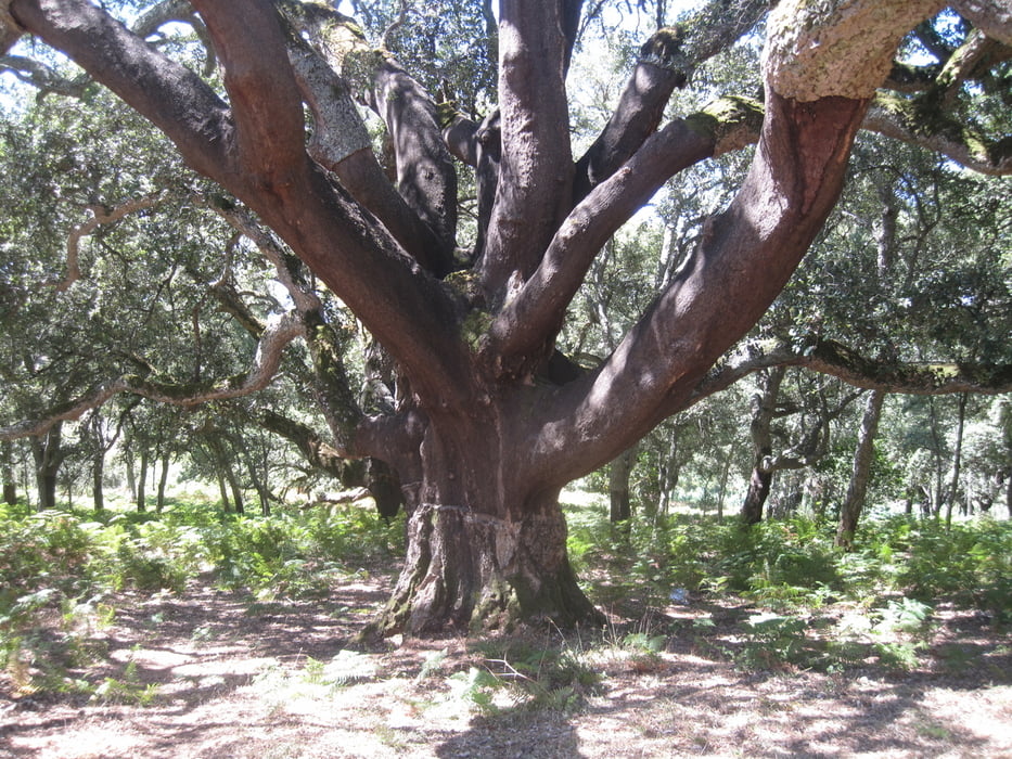
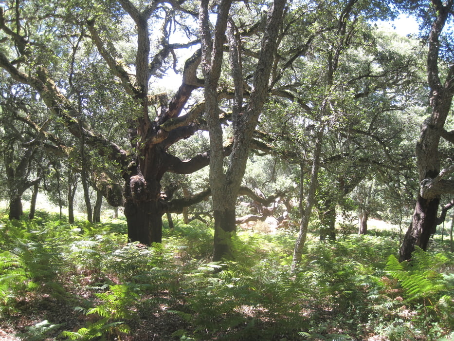
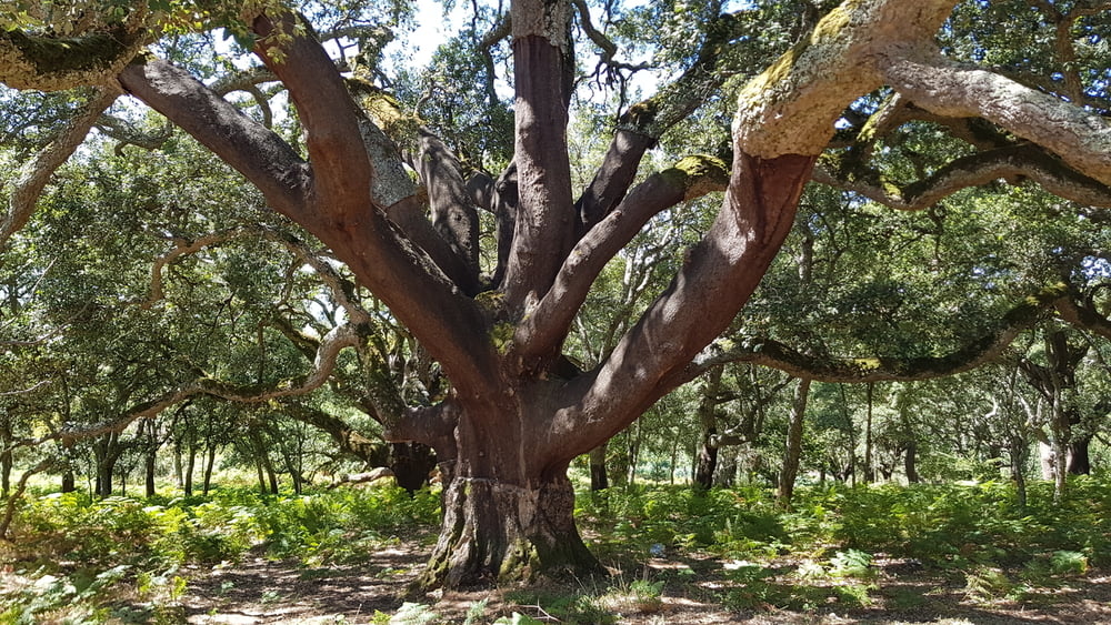
Der kurze Spaziergang führt zu einem Naturdenkmal: die älteste Korkeiche (ca. 800 Jahre).

Galeria trasy

Mapa trasy i profil wysokości

  • Open Street Map
  • Google
Minimum height 515 m Maximum height 880 m Widok szczegółowy

More about the tour author

JoachimDief
Member since 2016

Send private message

Komentarze

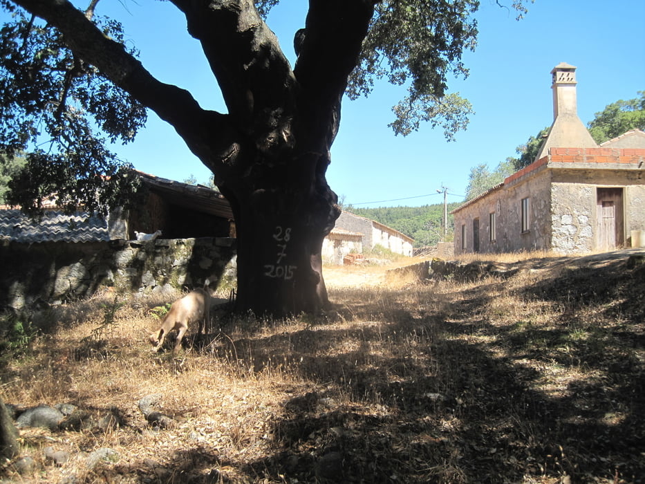
Von Manchique nach Corte Grande bis zum Ende der Teerstraße.

GPS tracks

Trackpoints
  • GPX / Garmin Map Source (gpx) download
  • TCX / Garmin Training Center® (tcx) download
  • CRS / Garmin Training Center® (crs) download
  • Google Earth (kml) download
  • G7ToWin (g7t) download
  • TTQV (trk) download
  • Overlay (ovl) download
  • Fugawi (txt) download
  • Kompass (DAV) Track (tk) download
  • Karta trasy (pdf) download
  • Original file of the author (gpx) download

More about the tour author

JoachimDief
Member since 2016

Send private message
Share track
Add to my favorites
Remove from my favorites
Edit tags
My score
Rate
Trasa: Naturdenkmal: "Älteste Korkeiche"
Rodzaj: Sightseeing
Długość: 0,8 km
Evaluated on:
Czas trwania:
Day(s)
Hour(s)
Minute(s)
Ocena: Krajobraz Czynnik zadowolenia Kondycja Technika